
Pre-Race Prep
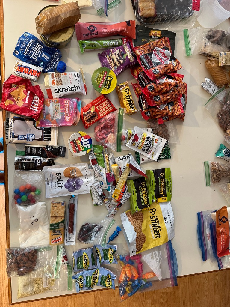
The actual race is, in many ways, easier than than the preparation that goes into getting ready to race! Once the maps are handed to you, your whole world for the next five days is condensed into how to get from start to finish. All the daily stresses of life take a back seat to just making relentless forward motion! The lead up to the race though? Those stressors become the nagging co-pilot of daily life that still has to happen. What food do I want? Do I need a new pack? What about batteries and headlamps? What gear did I lose/break since the last race? What needs replaced? Add to that the daily stuff like will my elderly cat be ok (he was), can we get the hot tub done before we leave (no, we did not), trying to maintain some semblance of house broken adults… all these and more fly through my brain in the weeks prior. A couple of days before we left, Linda (the best MIL ever) arrived to help and house sit our cat Max. She was immediately set to sewing and repairing pants and shirts that we needed, including an epic job of installing zippers in the bottom of my pant legs so I could take them off over shoes! Next we started the process of creating the food bags we’d grab at each TA. I missed taking a pic of them all laid out but essentially we each made 7 bags of grub to be placed in the bike box, paddle bag, or gear bin.

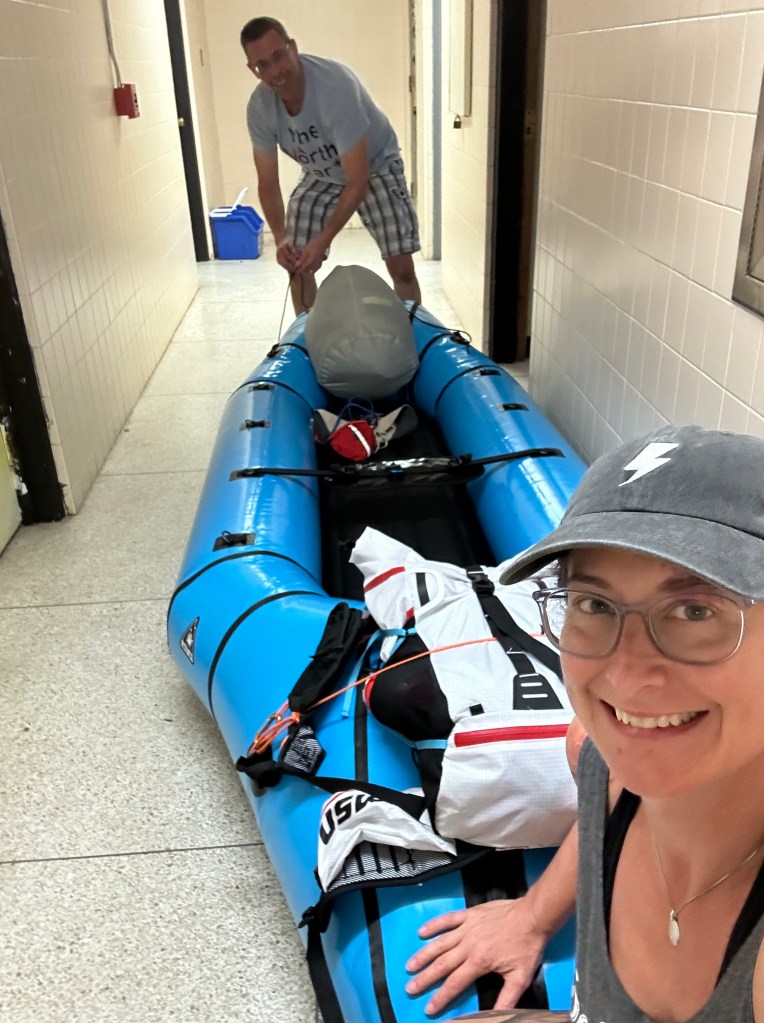
Along with the food bags we also made bags of clothes to change at TA’s, bare minimum being a change of socks and underwear. Double checking the gear list, we loaded the Taco (with added Thule torpedo on top) and headed to pick up Paul! With the added up top storage we managed to get Steve’s bike in his box in the bed of the truck along with the bins and bags, and Paul’s bike and mine on the rack, with our bike boxes broken down and stuffed inside. We timed our drive perfectly and arrived on Saturday just after check in started.The next hour was a mess of unloading and re-organizing gear. That’s when I discovered I had lost my bike box packing material. A quick trip to harbor freight and we each had 2 foam pads to double as padding for the bike and for TA sitting/sleeping if needed. Paul and I did a practice inflation of the rented raft we were using, just to get familiar with it.
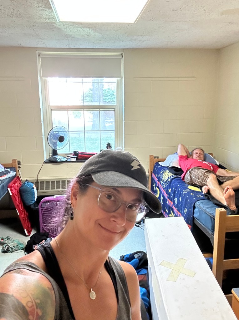
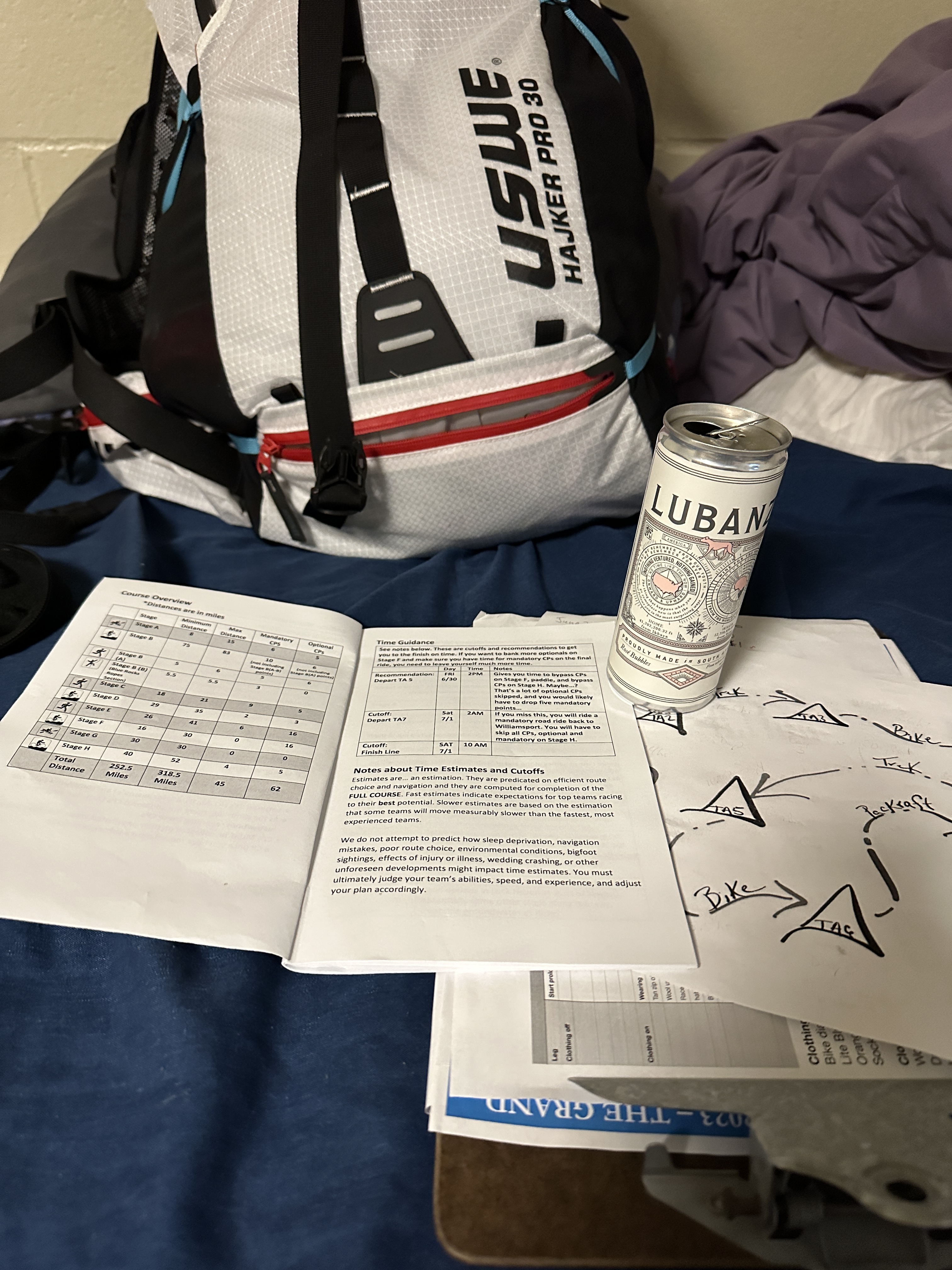
Another few hours of going back over everything and it finally felt like I might be set! Sunday we had our gear check and after completing it we got our race booklet. This is the guide book that gives us the instructions for the course, small tidbits about the areas we will pass through, and what amenities we might find on course, but no maps! We had a nice breakfast going over the book, looking at our race timeline we had planned, making some changes to the plan, and finally calling it done! I copied the final one and laminated it to carry on course as our official “oh shit sheet”, meaning those times HAD to be met as the course progressed or we were in danger of not finishing. We turned our gear bins and bike boxes in Sunday evening, had a nice burger at the brew pub, and called it a night. Of course, pre-race jitters never allow for a great night sleep but I think we each managed at least 3-4 hours before the alarm went off at 4:30 am.
Monday – Start
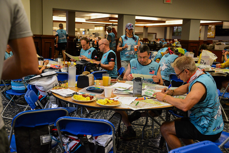
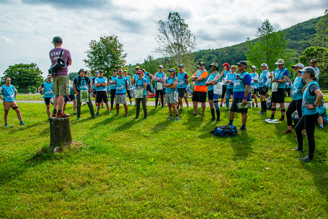
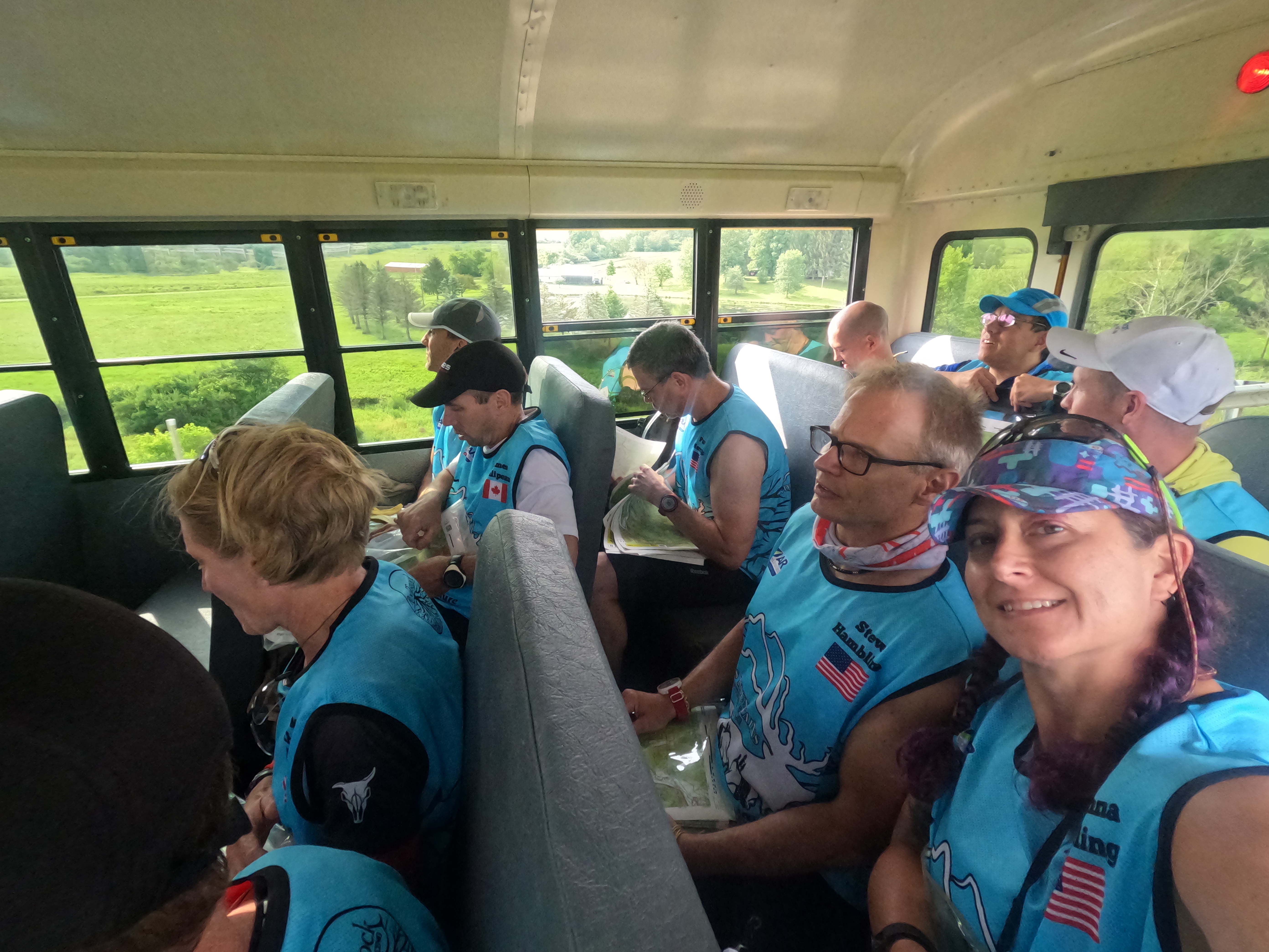
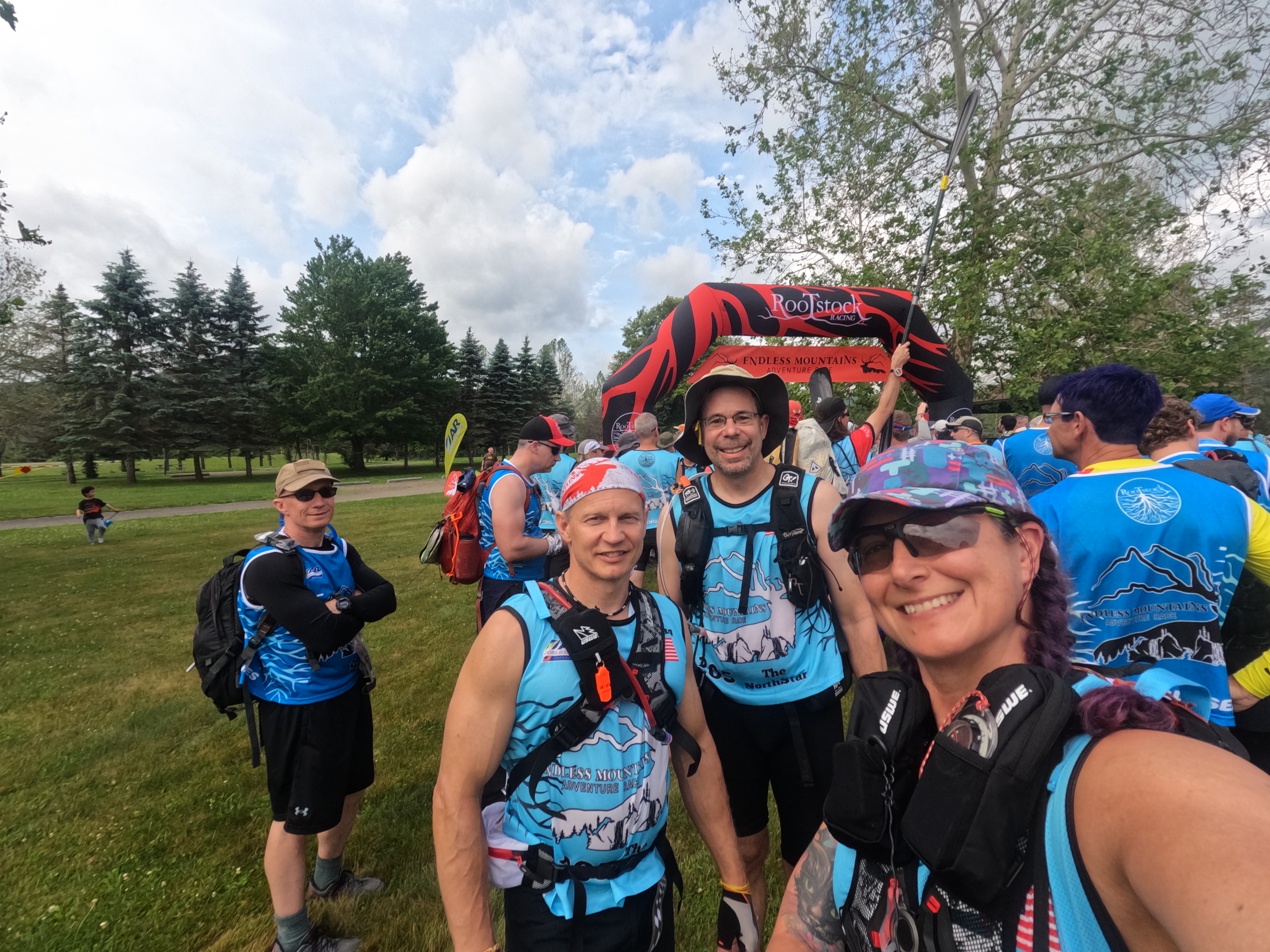
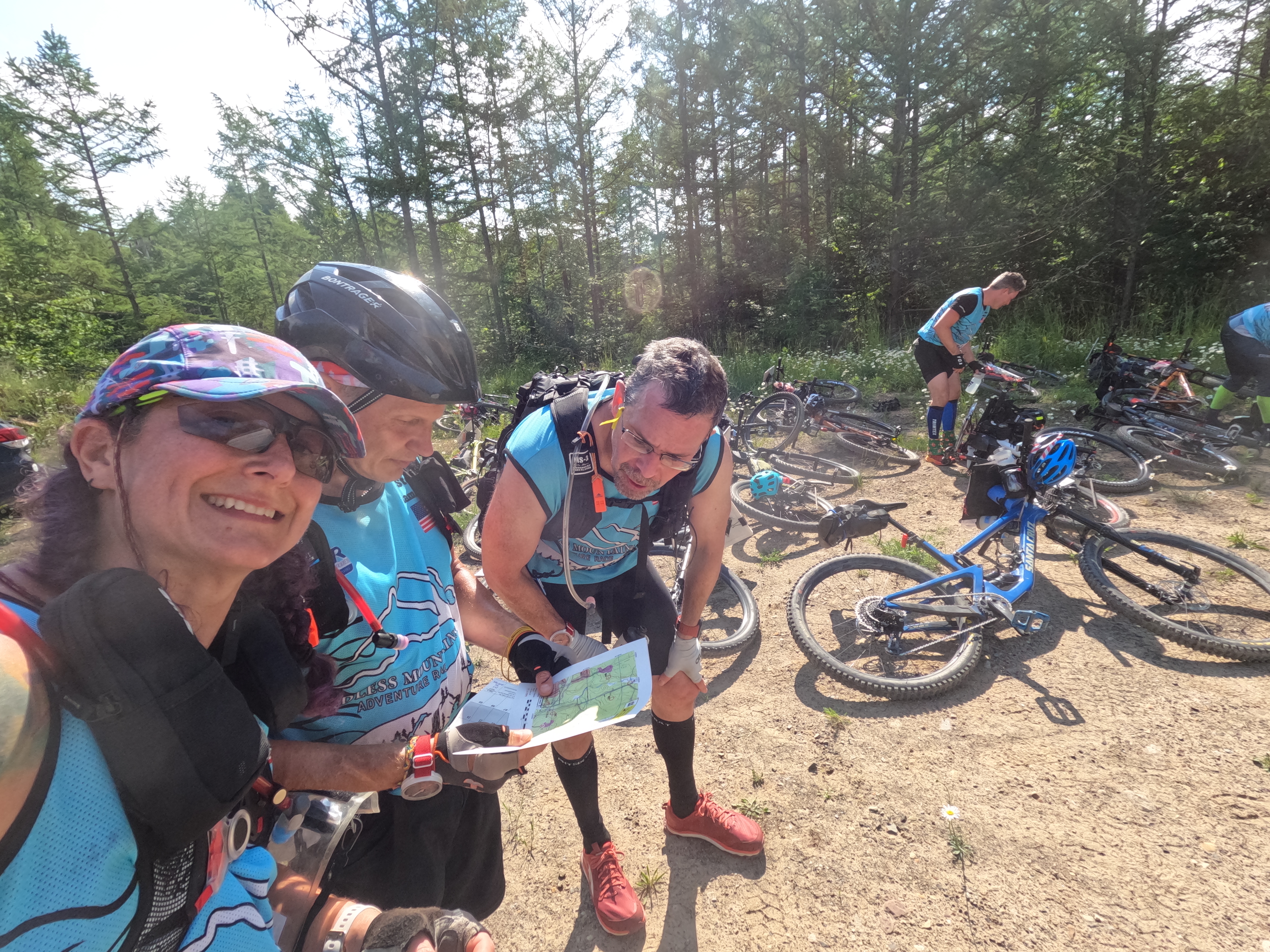
We had lockdown starting at 5:30 am where we would get our maps and have breakfast. We snagged a table and made a plan for dissecting the HUGE course. Steve started at the front end and Paul started at the finish and they worked towards the middle, route planning. I made sure the course changes were relayed to them for their planning, along with supplemental maps. Our plan from the beginning was to only focus on mandatory points until after the Stage E epic trek since our goal was to be official finishers of the course. The full course was huge and way too long for us to complete in the given time frame! The epic trek stage was going to land about half way into the race and once it was done, there were many optional points we could pick up on our way to the finish. After about 3 hours of playing with our maps, we were loaded onto the busses and made our way to the start location. Packrafting gear was staged, Brent gave us the final instructions, and we headed to the start corral. The 30 hr racers were starting at the same time and doing parts of the same course so we’d see them on and off the next bit.

Stage A – Packraft – 16.4 km/10.2 miles – 3hrs 35 mins – 4 hrs projected
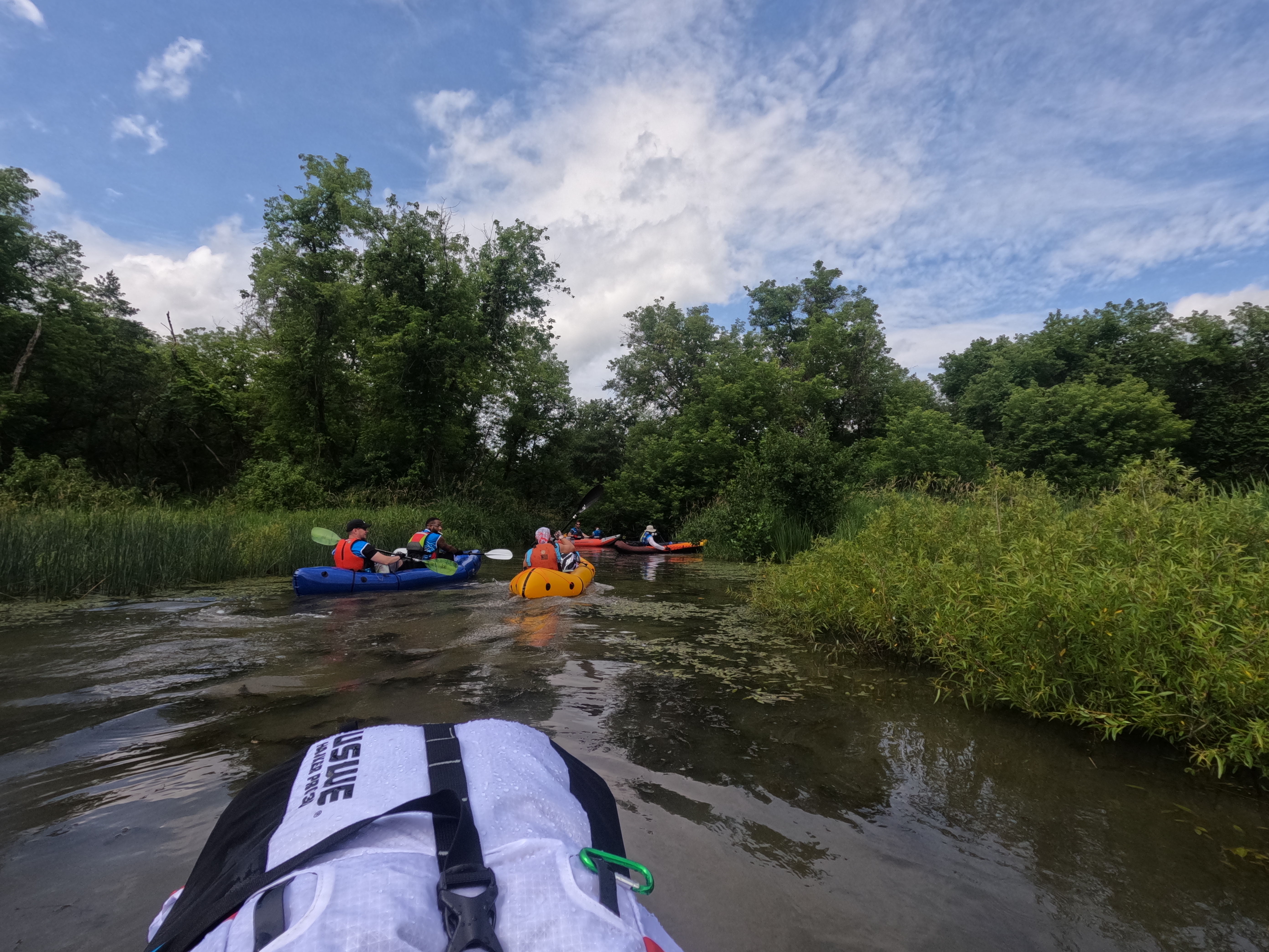
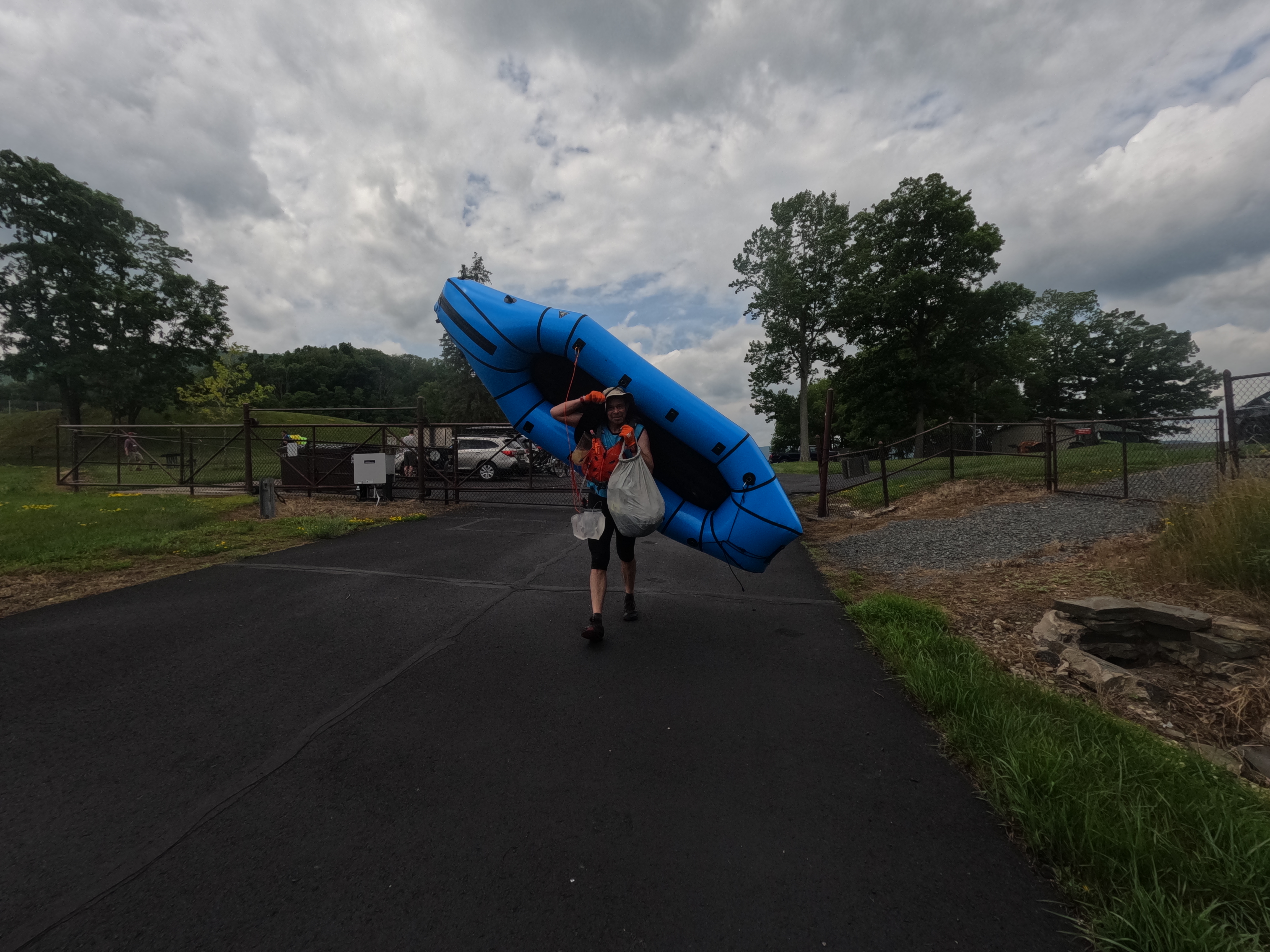
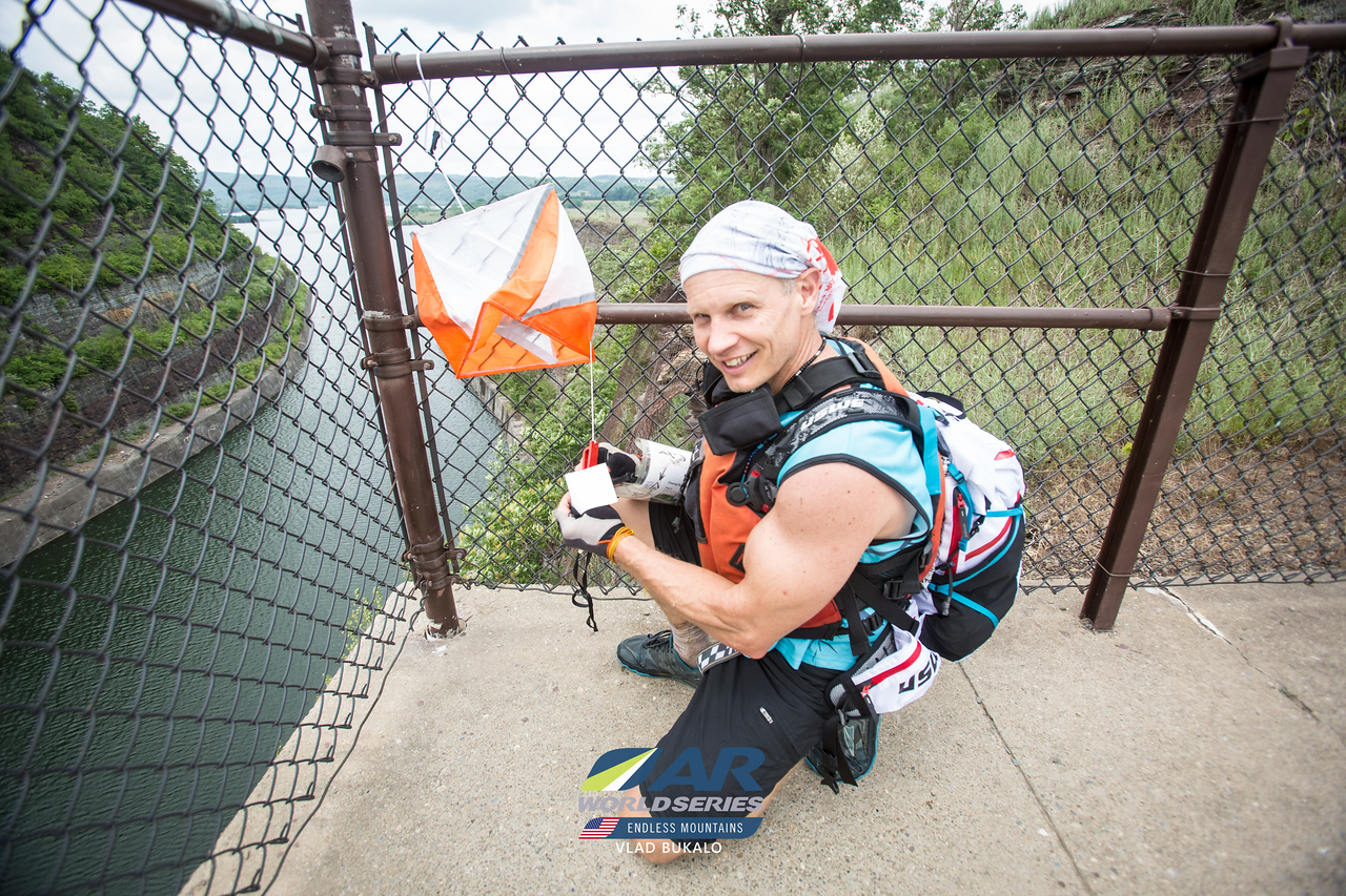
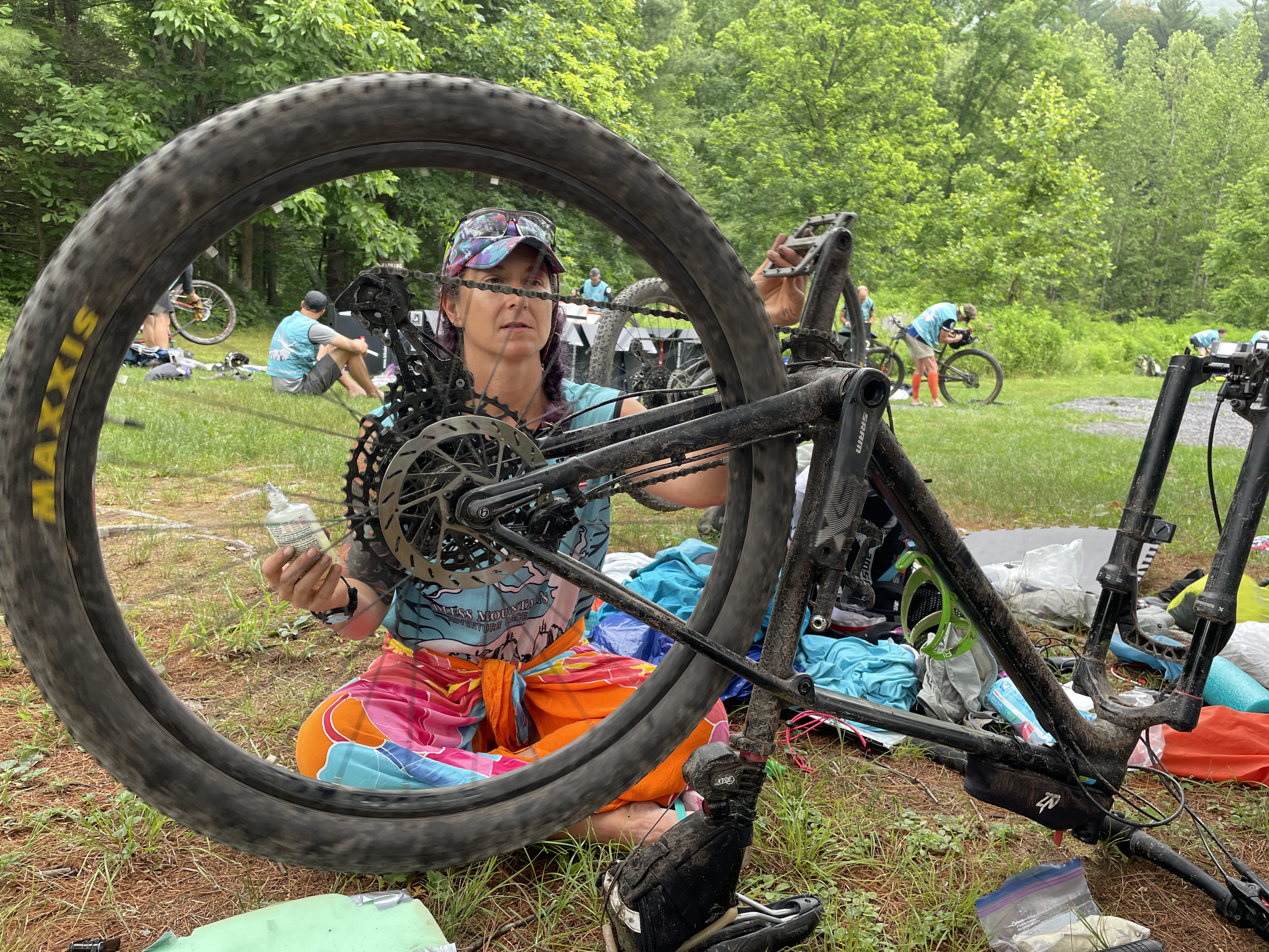
Right out of the gate the guys blew the plan apart and we opted to trek up river for an optional point! Several teams were doing this and continuing on for others, a few teams had their rafts with them to float down and get the points. After the one point, we made our way back to the rafts and got them inflated and on the water. This stage was on a large reservoir and we paddled around the coast, gathering a couple of points. At the end of the lake we had to portage over the dam and then back down the other side to continue the paddle upstream. The headwinds weren’t great but I think we made decent time. Paul and I were in the tandem and Steve hooked on just to keep together. The raft wasn’t the best option for the water type. It was a self bailing raft so we were wet pretty much from the start. This paddle leg was pretty short and fast, plus given we’d just started the adrenaline was keeping us moving! At the end of the paddle we hit TA 1 and transitioned to bikes. Looking at my trace, it appears we spent about 52 mins in the TA, yikes! I knew from last year that I’m not fast in transition but dang, I really didn’t mean for it to take that long! I’m pretty sure I’m going to continue to be disappointed as I calculate the TA times later in the race! Our TA procedure was always to first get wet socks and shoes off and let the feet breath. Then move on to the break down and build of the necessary gear. Finally adjust the food in packs and put shoes back on. The bike building went really smooth for me this year, although if I’m racing without Steve, I must bring my breaker bar to get my stupid pedal off!


Stage B – Bike 1 – 28.4 km/17.6mi – 2 hrs 15 mins. Bike 2 – 83 km/51.5 mi – 9 hr 45 min. Bike 3 31.4 km/19.5 mi 5 hrs. Total biking time 17 hrs – 16.5 projected!
The bike stage was projected to be a total of 75 miles for the mandatory points and was broken up with two separate trekking loops. We headed out on the first bike segment, no CP’s to look for, just a quick ride to the first of the trekking loops.

Trek B(A) – 13.5 km/8.4 mi – 3 hrs 35 mins – we had projected 5 miles and 2 1/2 hrs for this.
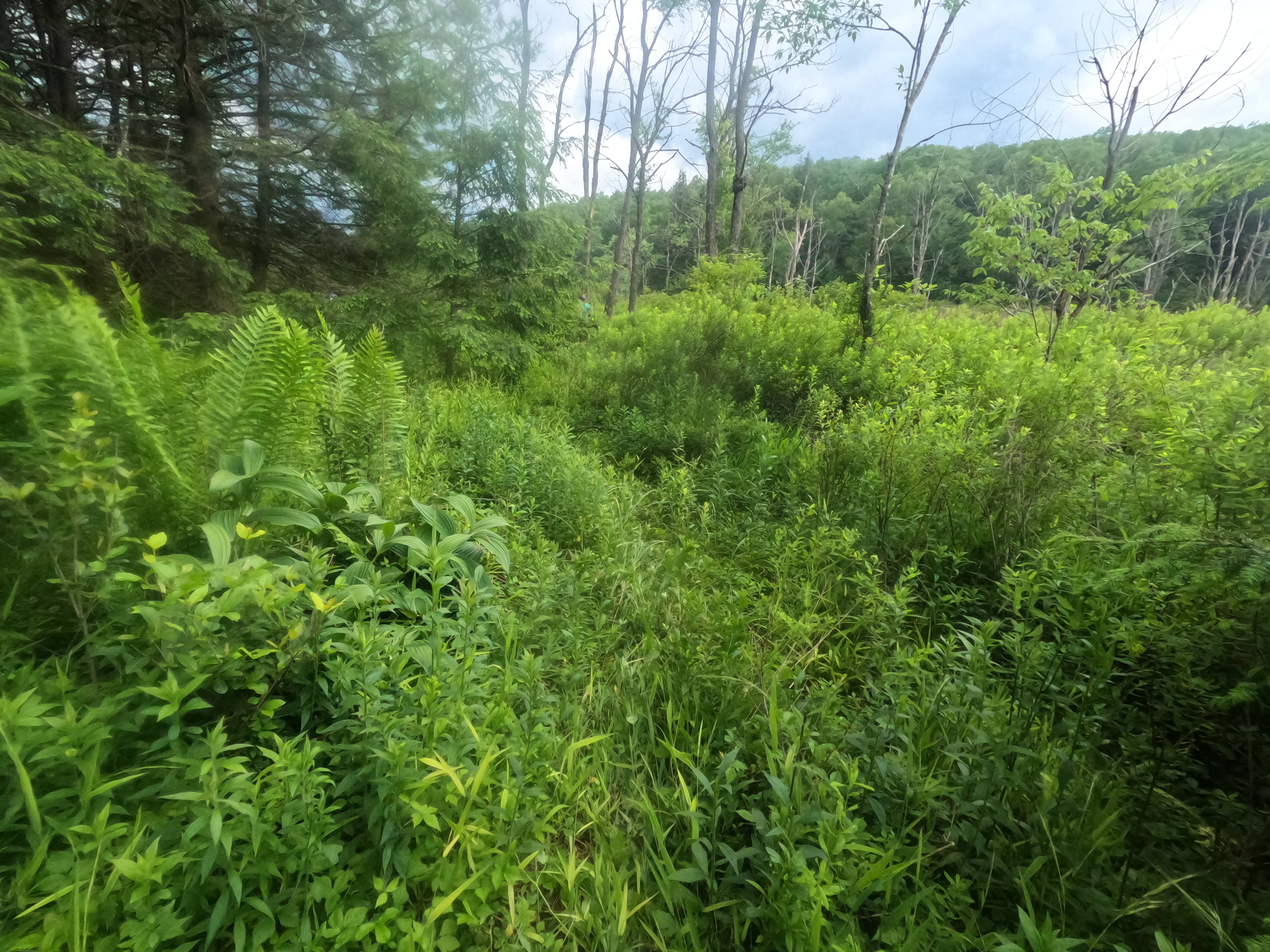
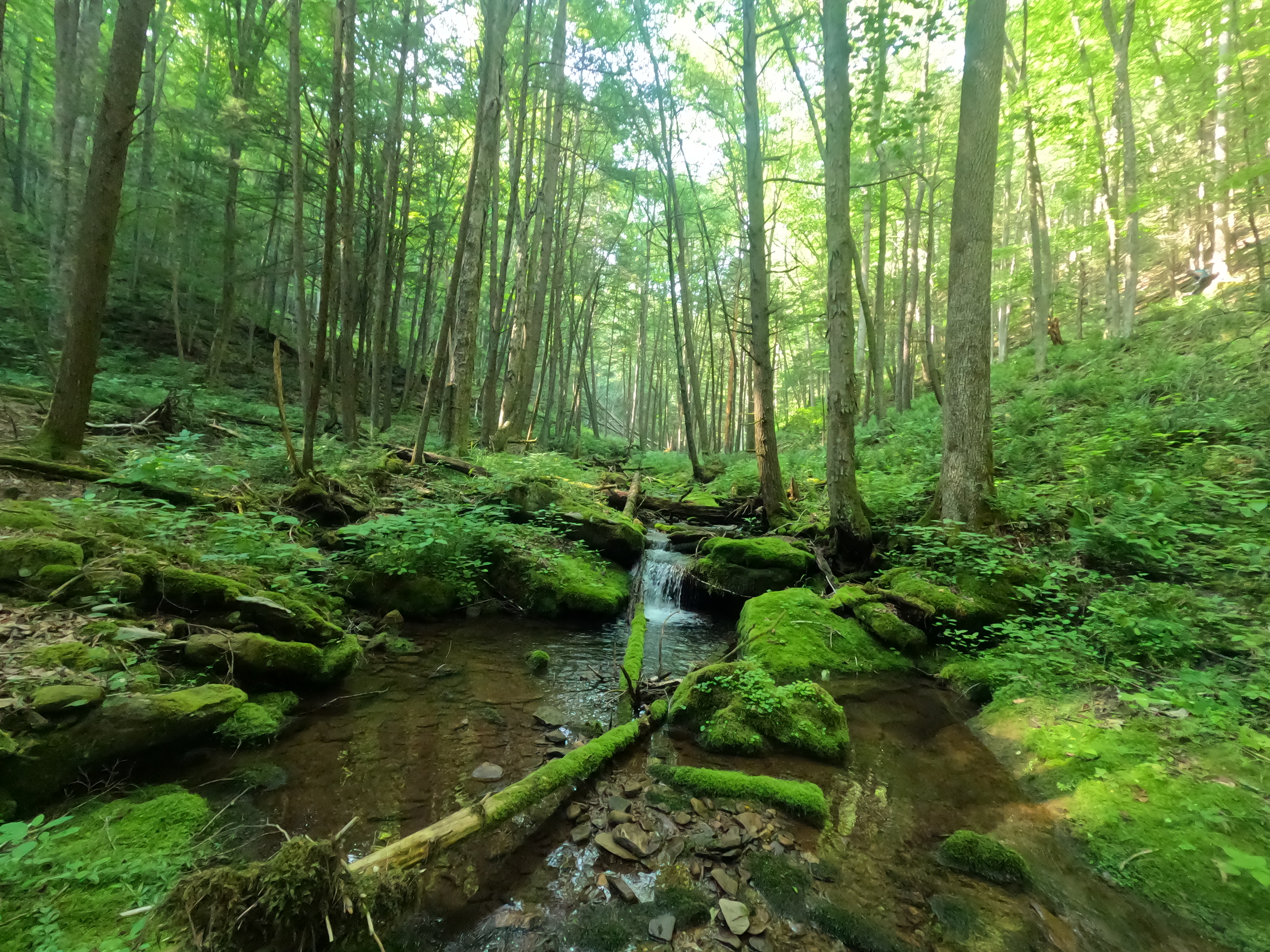
At CP 7 we were given our map that had 4 mandatory points and 6 optional points. It was clear that our plan of sticking to mandatory points only was going to work since this map made such a lovely loop that allowed for the collection of ALL the points! We made our way into the woods and the start of our loop without much difficulty that I can recall. The nav seemed straight forward for the guys and other than me throwing myself down repeatedly, no problems were had! As we made our way from CP9 to B4 we encountered a very boggy area thanks to the beavers! The small Fall Brook was now a wide bog with lovely sphagnum moss hummocks and a rather wide and deep channel running through it. Our feet had been dry for a mere 3 1/2 hours and now we were soaked again. Steve actually took his shoes and socks off to traverse the bog, going so far as to try and convince Paul and I to wade (make that swim) across the channel. We outvoted him and continued downstream until we found a convenient beaver dam we could use to cross. The shiggy was extra thick and it didn’t appear that many racers had forged a path here! Pretty much as soon as we beat our way through the wall of brush, the skies opened and the downpour began. Luckily it didn’t last too long, just enough to soak us through. The next half of the loop had us looking in some lovely areas! We made our way down to falls and the points in the river. At this point we were out of water and decided to fill up. I almost lost my filter bag to the current and Steve actually did lose his! Filled up, we hiked up and out and back to the road for the last checkpoint. That was when we discovered that right up stream from where we had filled our bottles there were mine leach fields! CRAP!! It is so easy to forget that the water in Pennsylvania can be quite toxic when you are hiking it such lovely areas! We immediately dumped out our bladders and bottles. Luckily we were close to the TA and we knew there was going to be a safer water source later in the stage. Mother Nature was also looking out for us as she decided that another thunderstorm was just what we needed to stay in our perpetually moist state! We hiked up the power line as the storm was crashing around us, making sure to stay lightening protocol distance away from each other! Back at the bikes, we had a quick snack and then resumed our bike journey, leaving the TA around 8:30 pm on Monday.


Bike 2 – 83 km/ 51.5 mi – 9 hr 45 min
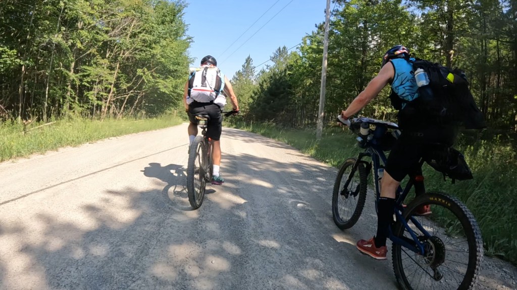
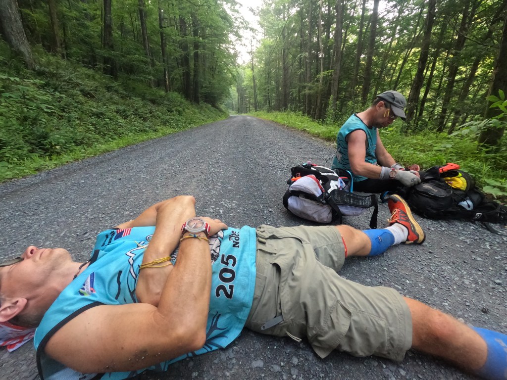
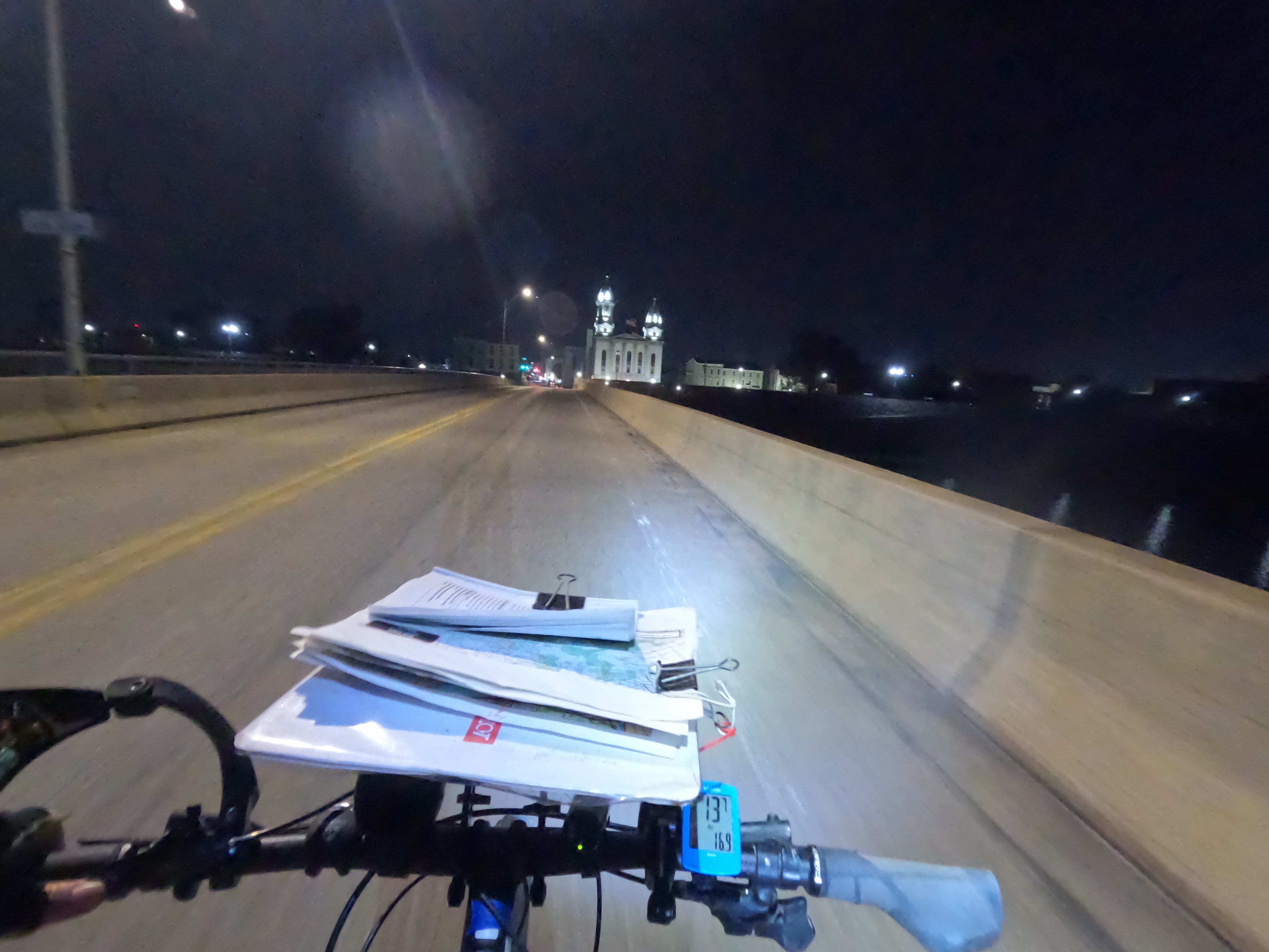
This biking leg had us searching for 4 mandatory points and no additional ones since they would have been off of our planned route. The country roads were nice and quiet as we made our way to the mountain biking section. It’s a darn good thing that there were not many cars out, otherwise I’d be dead! I was riding along I think Arnot road and they had cut away parts of the road for work. It was periodic and I saw them coming. Somehow on one of them, I went into it and then my tire caught the lip edge. The next thing I knew I had jumped 90 degrees to the left, directly perpendicular to the road, then another mad brake grab and I was 90 degrees back to the right and parallel to the road but in the opposite lane! I have no idea how I didn’t end up over the handlebars with major road rash or a broken wrist/collarbone! It was like riding a bucking horse! After that my nerves were fried from the adrenaline dump. This probably made me a little more leary of the rocks and roots on the trail section than I otherwise would have been. We picked up the first CP in the woods and then headed out to find the one that had a clue of north edge of swamp. We made several good attacks at it but just didn’t go in far enough. Patience was wearing thin and with the spaghetti bowl of trails we needed a new plan. So we bypassed 14, came to a known trail junction, snagged 15 and then attacked 14 again. This time we pushed farther into to trees and found the swampy area. Back on track we headed out to get the last mandatory of this area, number 16 at the Sand Run Falls. This was were we starting seeing several teams that we’d continue to ping pong around with for the rest of the race! Most of us had continued straight too far on the trail and had missed the very small junction trail that took us to the falls. Once we got there it was a CP party! At least 4 teams were there at the same time. We scrambled down to the base for the checkpoint and then filtered some water, assuming it was safe. All told, the distance we traveled from CP 15 to 16 was only 4 miles, including our loop back to get 14, but it cost us an hour and 15 mins if the tracker is accurate. Leaving the woods behind, we made our way to the mandatory 5 min social media stop in Wellsboro. This was pretty awesome actually! The host of The Dark Zone podcast, Brian Gatens, was there to greet each and every team and spend 5 minutes chatting with them. The lead teams watched the clock and were in and out as fast as the 5 mins would allow, but the rest of us used this stop to get some water, have a snack, and rest our legs a bit. Leaving Wellsboro between 1:30 and 2 am, we hit a gas station for a treat of a hot coffee. Freshly caffeinated we began the long slog of a ride to the next stop. I don’t have much memory of this ride. I do recall having a short 10 minute stop somewhere on a bridge and thinking wow, it’s not even been 24 hours yet! I asked Steve what he recalled and all he offered was it was dark, we were cold, and it was long!
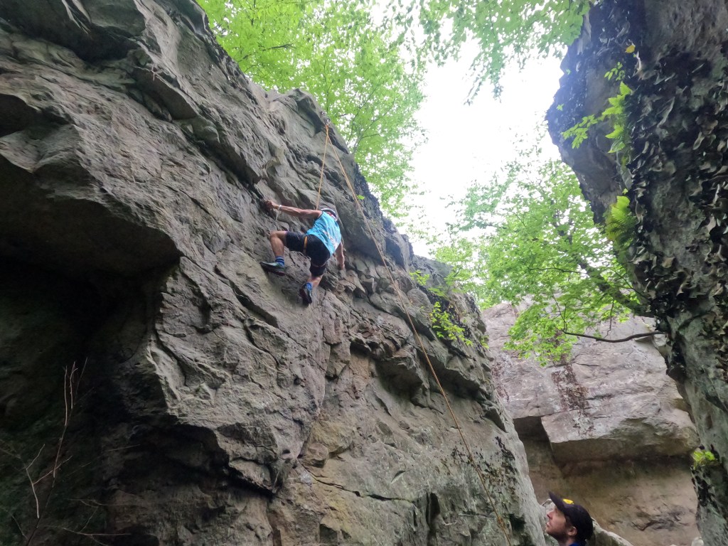
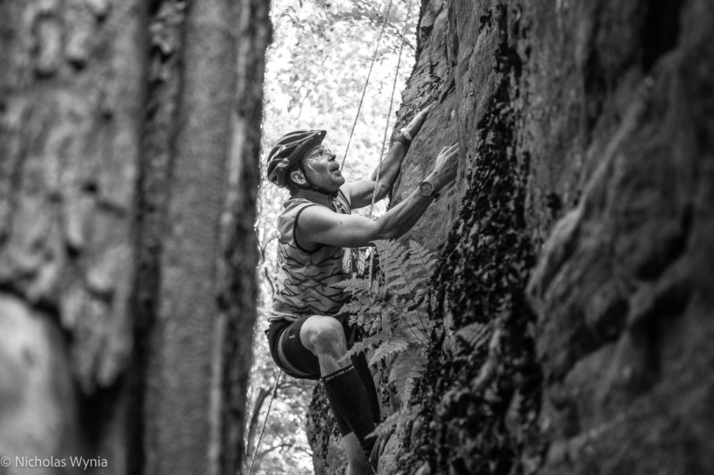
Trek/Climb B(B) – 11 km/6.9 mi – 6 hrs. Budgeted 5 hrs, so not too bad!
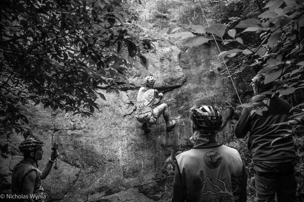
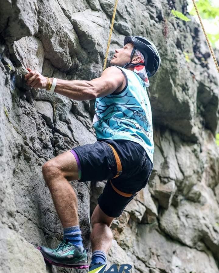
We arrived at CP 18 around 6 am to begin our trek to the climbing area. We had feared that the rain during the night would cause them to cancel the top rope routes but luckily they did not! Since these loops were not real TA’s we didn’t have the option to change shoes, so our wet feet continued to be wet. The first think I did was pop off into the wood line to change out of the bike chamois, during which I stepped in a pile of human crap! I seriously hope this wasn’t a racer, surely we all know the etiquette of pooping in the woods!! Perhaps not though, in which case, as least freaking bury your waste! We grabbed the climbing harness bag and started the climb up to the rocks. We arrived at the rocks and Brent gave us the breakdown of directions and a rock scramble map to use. There were 4 top rope courses and each of us had to climb a different one. Steve did the two most difficult ones, then Paul and I did the other two. Honestly, I sort of thought going into the race that the climbing was going to be silly and easy but as seemed to be the case for the whole course, it was a true challenge!


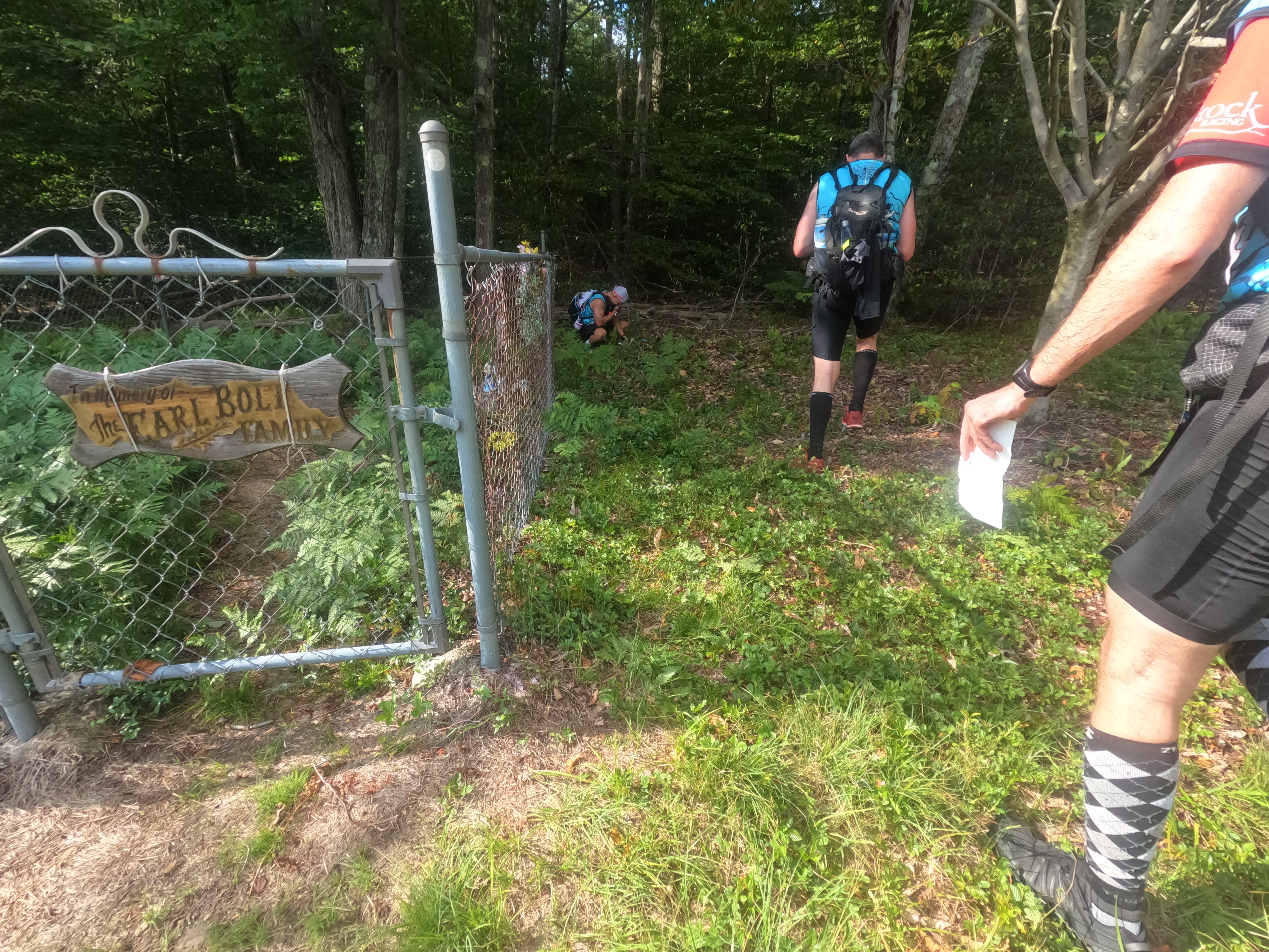
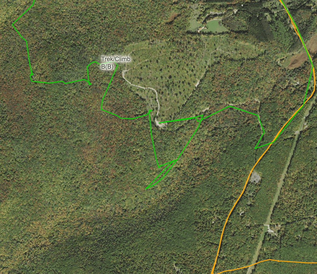
After the top ropes were done, we scrambled around for the other points and then checked back in with Brent before heading out. This was when I learned my stupid phone was sound the wake up alarm I’d been using at home! Somehow it had gotten turned back on in my backpack. Brent was on hand thankfully so he unwrapped it, turned it off (again), and then re-wrapped it securely. I was mortified! I hurriedly stuffed everything back in my bag and we headed out to the last CP of this circuit. It was about 9 am on Tuesday now, the sun was out, we were all a bit race drunk, and thus sets the stage for a rather large goof. Leaving the climbing area, we trekked cross country towards the CP. The issue that we kept running up against was the fear that we were getting too close to the out of bounds private property area. We had neglected to pace count or watch the time, so we really had no idea how far we had come. We went north for a bit to try and find the saddle that on the map seemed large enough to notice. That was about when we ran into Team 5060 as they were making their way out. They had a different idea of where we all were on the map and the decision was made to head south after we had found the large open area straight ahead. The private property was shown on the map as a large open area, hence our concern! South we went then then we changed course and went east, only to run into the open area again! This time we pushed into it a bit and found the paint marks on the trees showing the state forest boundary! This at least gave us 3 potential areas we could be in. From there we hugged the boundary and went south again. We ran into an old road bed/trail and it had the potential to be the one we were looking for. Following it for a short duration to the west, we realized it was not the trail we hoped but instead the one below it. Now it was just a matter of heading east on it to the road junction and then up to the CP! If you look at our trace for this section, at one point we were less than 500 ft to the CP, but it took us 1.7 miles of hiking to get there!
From there is was just a road trek back to the bike drop. Once back, I realized I’d somehow lost my dang rain coat! I had it stuffed in the top of my pack but apparently during the kerfuffle of the cell phone packing, I’d forgotten to buckle the strap. How I didn’t lose my bike helmet as well is a mystery, since it was just held on by the strap threaded through!
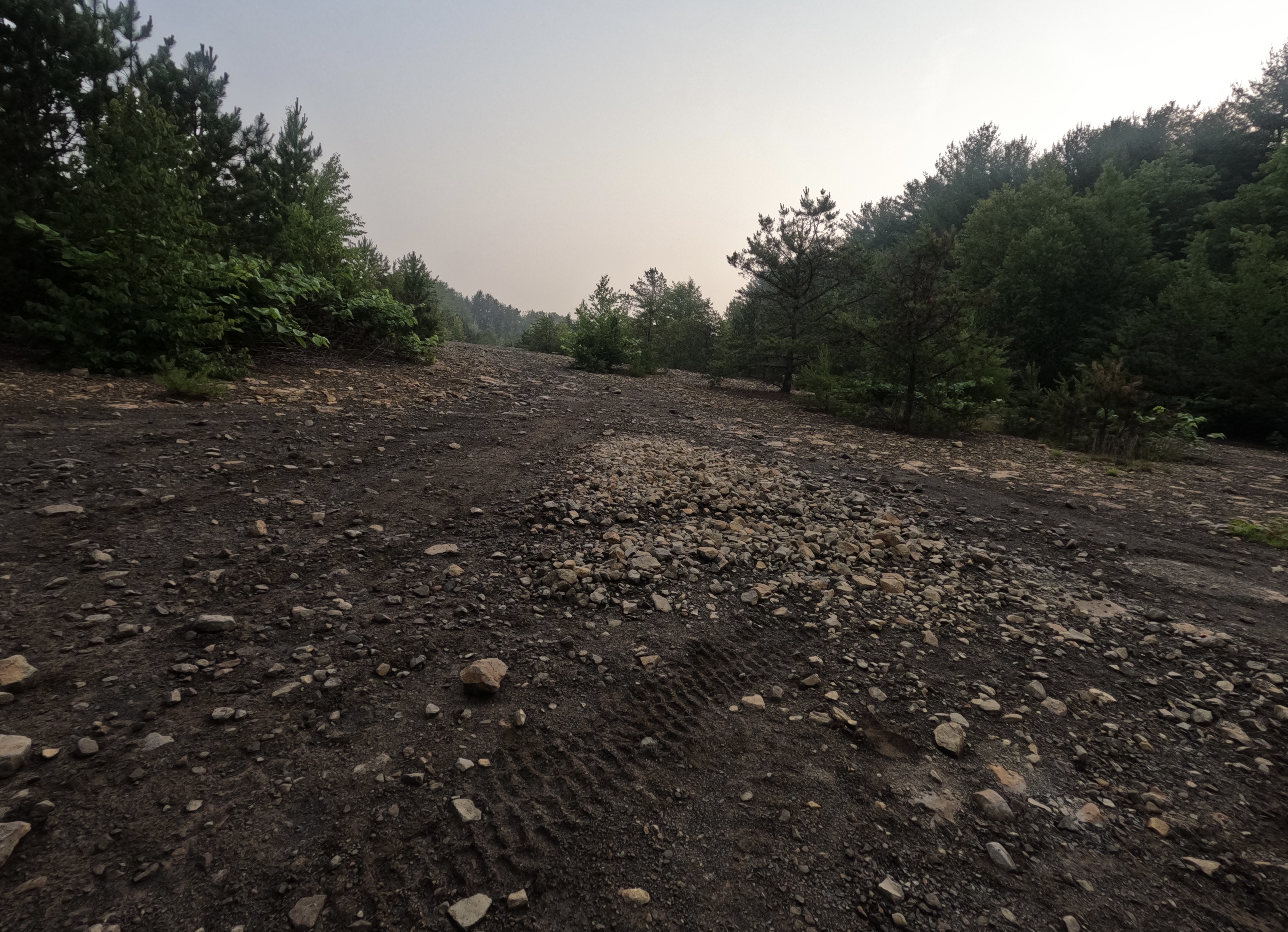
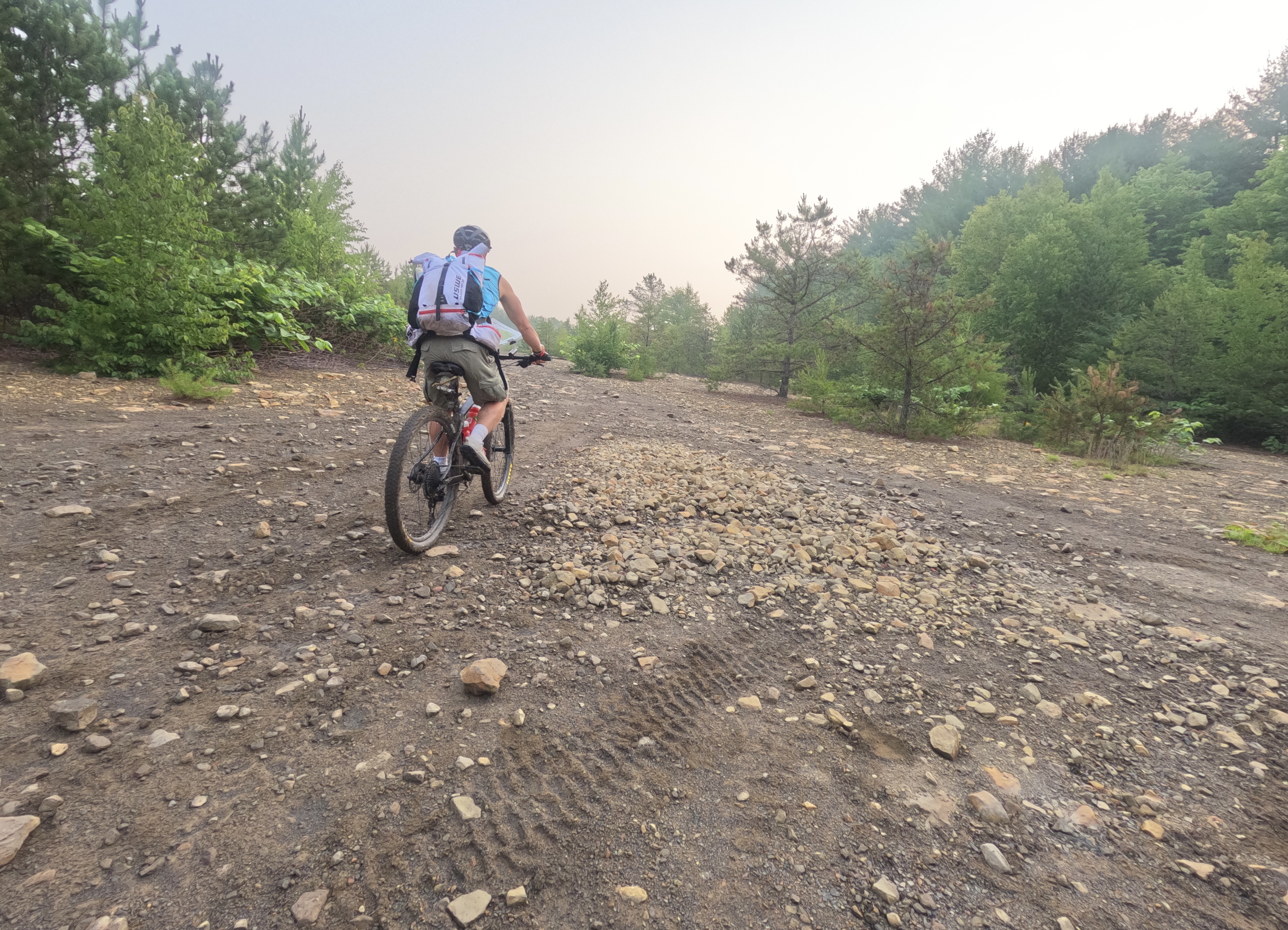
Bike 3 – 31.4 km/19.5 mi – 5 hrs
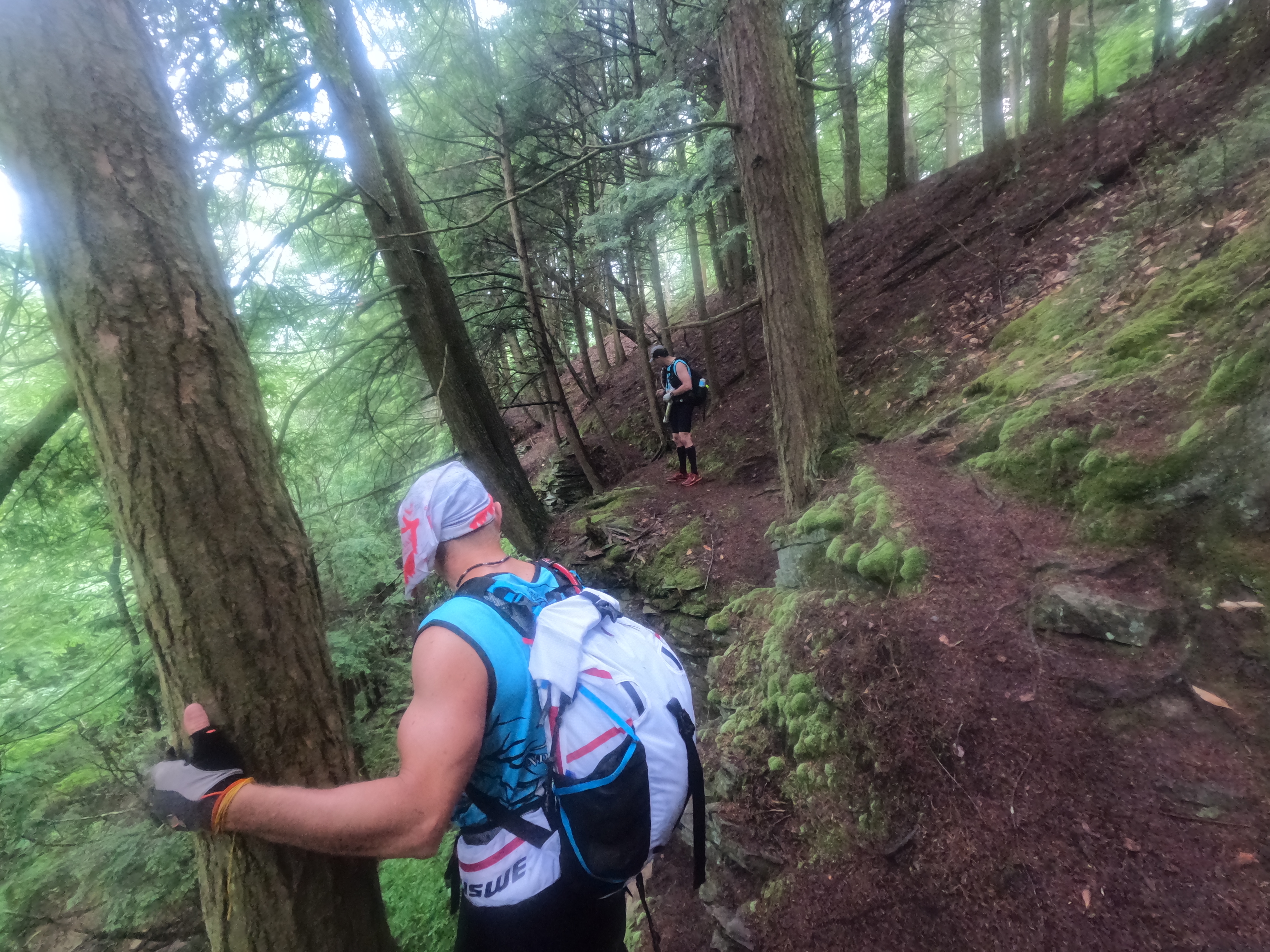
Leaving the climbing loop, we a much shorter ride to the next TA but in some ways it was the most challenging part of the race for me. We had a few miles on the road and then we crossed the creek and began our ride/hike up the mountain. We just kept going up, and up, and up some more! I measured it after the fact and it was 2.3 miles steadily uphill. We started at the bottom around 1 pm and finally made it to the top (after some time spent finding the CP) around 3:20 pm. During those 2-ish hours I went through the full range of the emotions of racing; elation when we reached a top, not fully understanding that it was not the main top, utter dejection when I handed off my backpack to Steve because I was dying from both heat and exertion, back to rejoicing when we did make the top! It was a rollercoaster for sure. At the real top we ran into a couple of teams and had a moment of where did you guys come from?? From the top we need to navigate our way back down on a series of trails that were a bit of a tangle. We probably lost our minds a bit and end up doing more following than navigating at this point, as the other team was moving fast! All of us ended up missing the trail junction we needed for the quick way down, so we loosely navigated the general direction we wanted to go, taking which ever trail we could find and did finally make our way to the main road! If we had found the trail we had missed, it would have saved us a little over 2 miles of travel, some of which was more bikewhacking. Moral of the story is once again, slow down and look at the map! The last two bike CP’s were pretty easy, one was literally a volunteer in a parking lot and the other was a short trek out to a prominent rock outcrop. The clouds had been all afternoon, with a couple of short rain bursts during the day. The loss of my rain coat meant I got creative with my rain skirt and had a decent little cape but given the temperatures the rain actually felt ok! We rolled into TA2, a nice shelter house out of the rain, around 5:30 pm on Tuesday. Our feet had now been wet for the better part of 29 hours out of 32 hours of racing. I’m both glad and disappointed I didn’t take a picture of the state of my feet once I removed my shoes. I knew they felt bad, not blistery bad but just off… once I removed my socks I understood the why! The bottom of all of our feet had some pretty deep trenches forming due to the immersion in wet socks/water/rain for so long. Our next leg was a trek section and I knew if we didn’t take time to deal with our feet now, we’d be regretting it quickly. Luckily the shelter house had a fire going and I sat with my feet exposed to the heat until the skin dried back out. We also discovered the miracle that is Gold Bond powder! Paul, in his wisdom, had packed a bottle of this in his bike box. We liberally applied it to our feet to aid the drying process. I’m adding this to my permanent pack list for all races! Our method evolved over the course of the race to dumping Gold Bond powder into a gallon zip lock baggie and when needed, just putting our foot in the bag to treat the issue and not waste the magic powder! While our feet were drying, we broke down our bikes, figured out our packs, and cringed as the rain came down hard! The idea of leaving our cozy shelter after just getting dry feet, with me lacking a good rain coat, was pretty demoralizing. Shari of Team 5060 was super kind and gave me her spare coat that she had packed in her bike box! Trail magic for sure! The next stage was the letterboxing stage were we’d navigate to the CP’s via written instructions that included distances, general direction of travel, and other clues. We opted to take the written clues and then the guys worked it out on the maps to sort of plot the location. This bought us some time under the shelter and out of the rain. During this time the rain started to let up and by the time we left the TA (2 hrs 45 mins later), we only had the wet ground and foliage to contend with.

Stage C Trek – 38.3 km/23.8 mi – 14 hrs. Budgeted 18 miles and 15.5 hours.
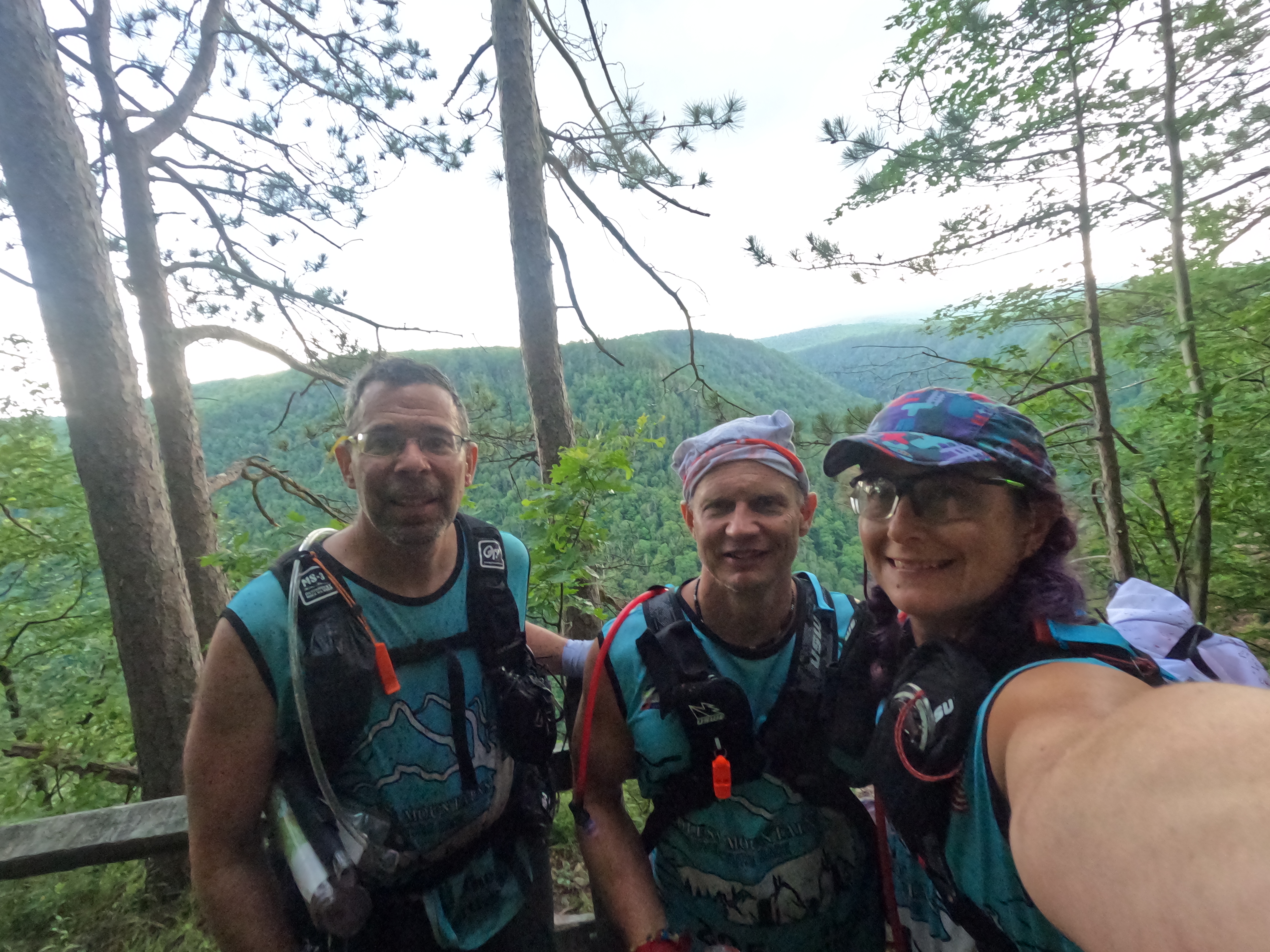
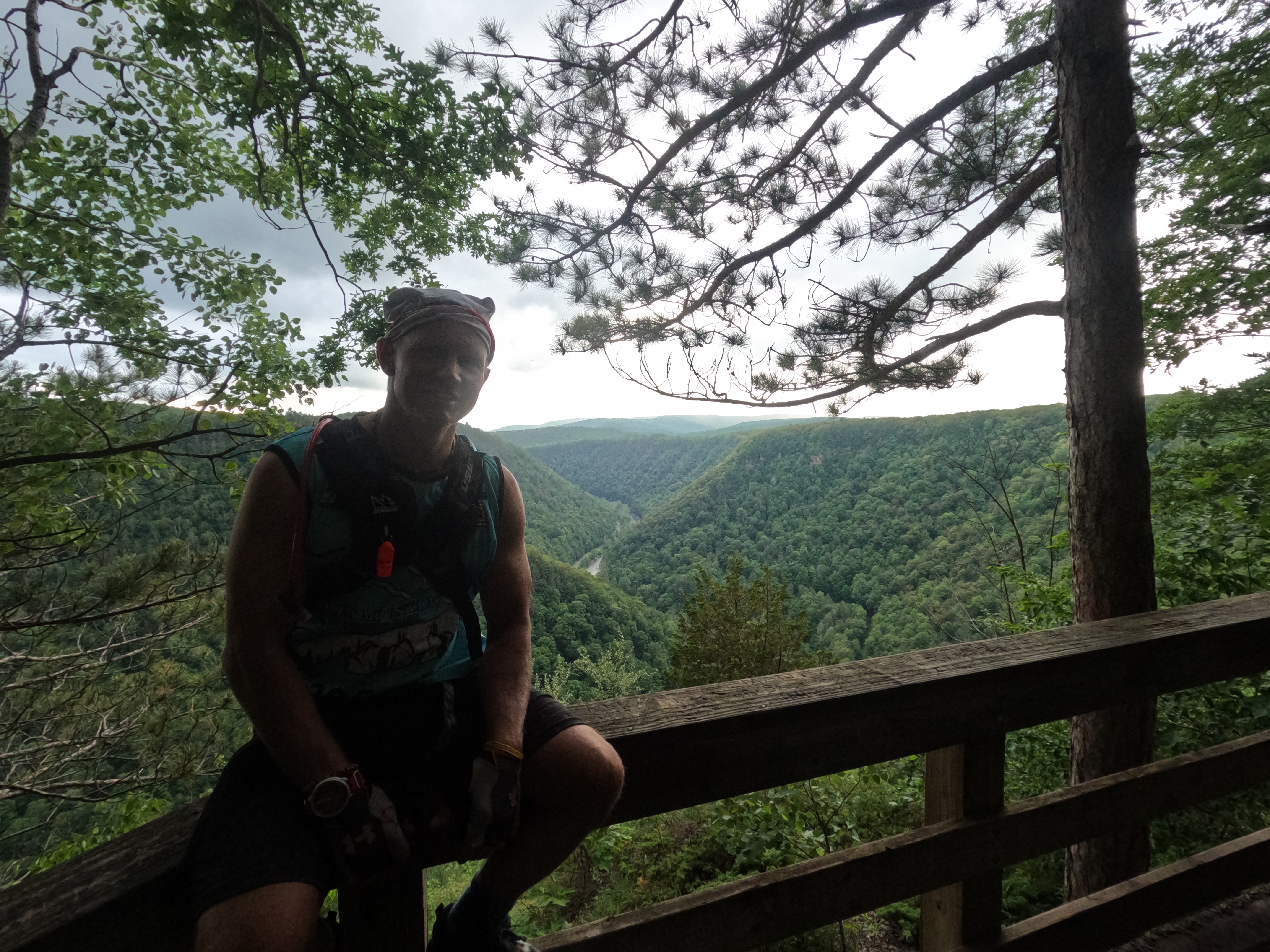
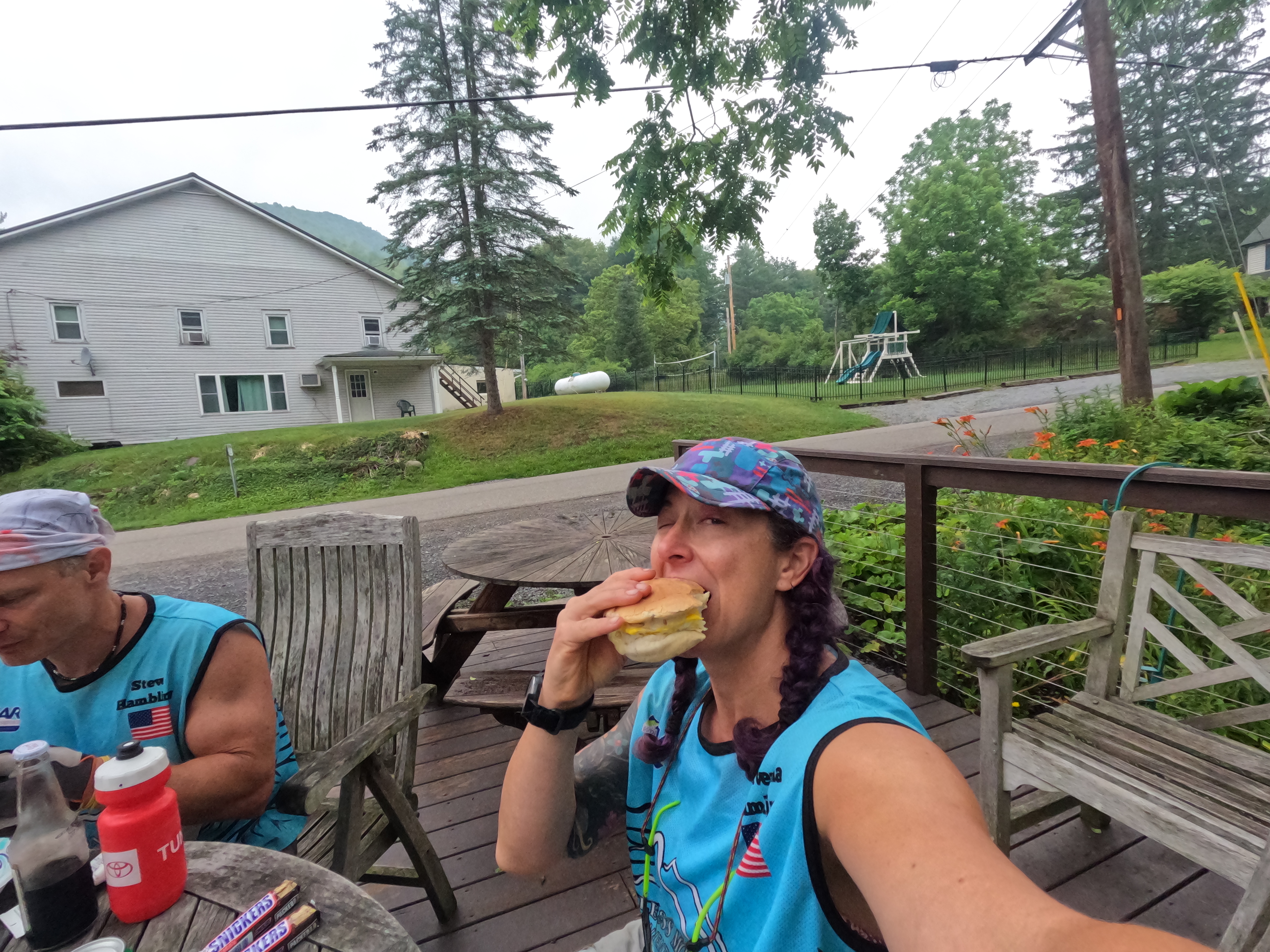
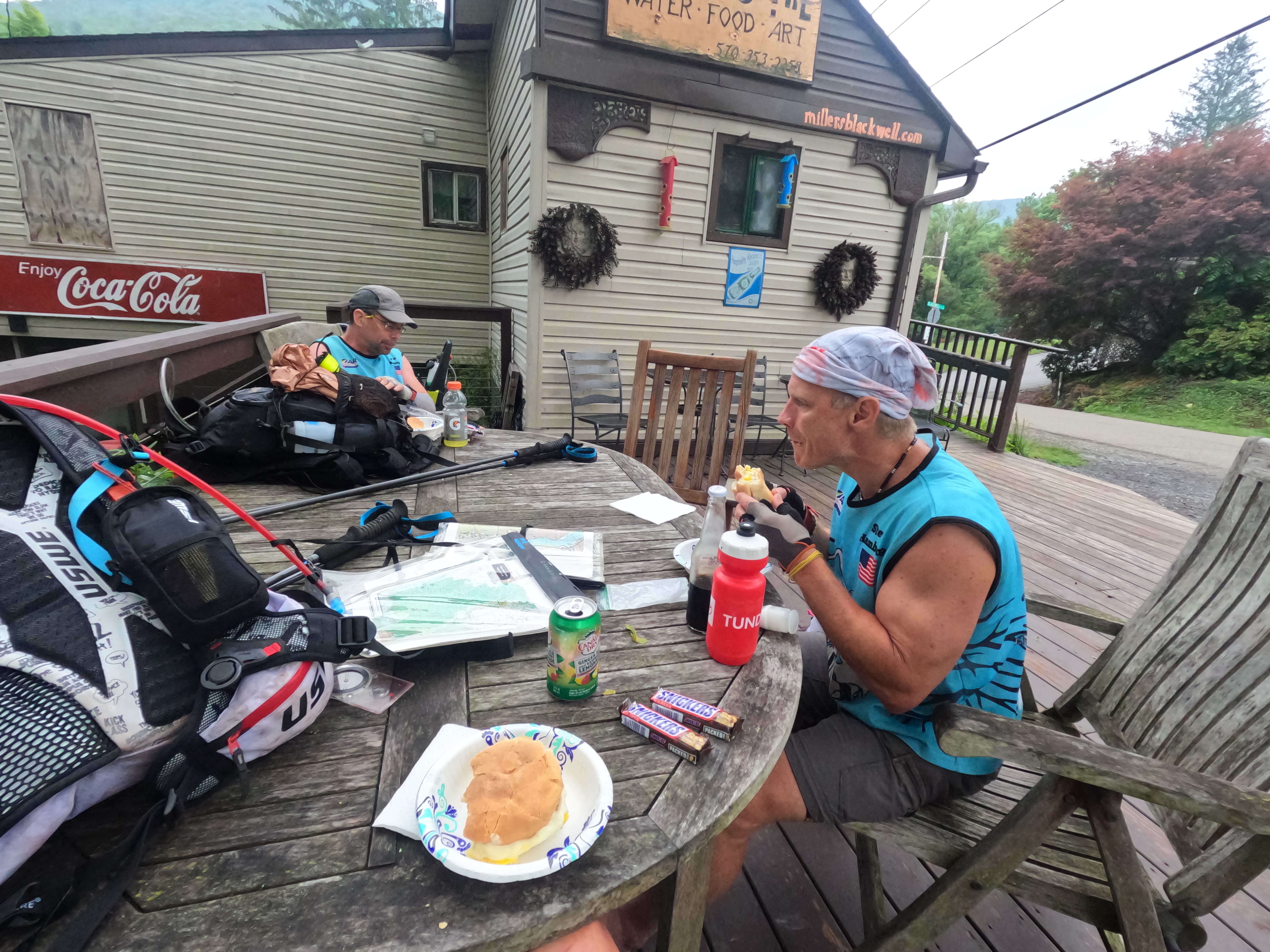
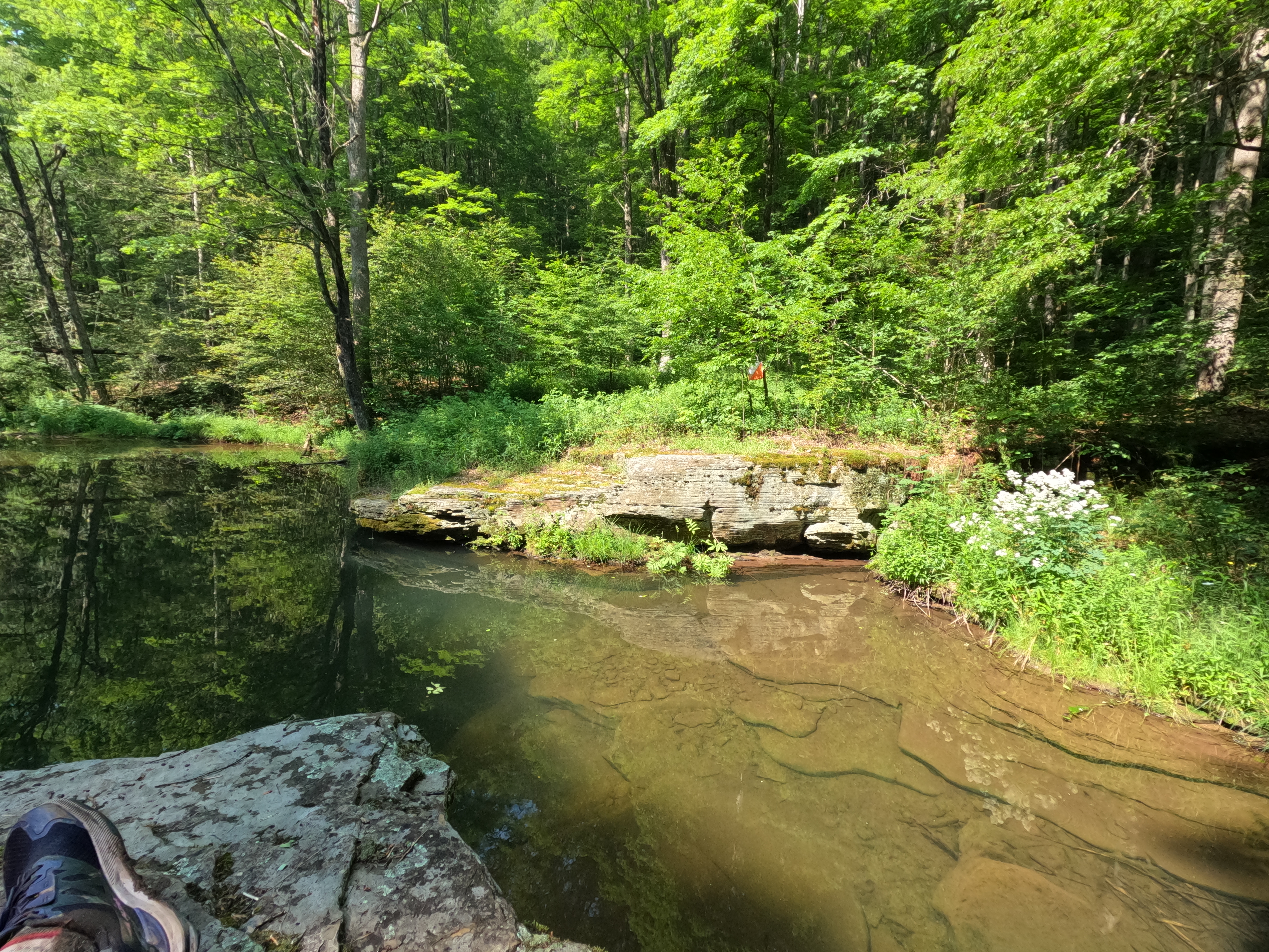
Leaving the TA we headed down to the river, me doing the pace counting, the guys watching the topography. Those fabulous dry feet we had, yeah, they only lasted for an hour! At the bottom we had to cross Pine Creek! Don’t let the word creek mislead you, it was only a bit over knee high but it was easily 100 feet wide! Friends, we crossed this dang creek five different times throughout the night! The letterboxing CP’s were basically all waterfalls, some on the easy rails-to-trails side of the creek, and others on the far side. Navigating the creeks up to the falls was more than a bit treacherous in the dark! I did laugh at the fact we had to wear helmets during the rock scramble early that day in a pretty controlled environment but here it was a free for all! We had to pace count from the last CP to get a general idea of where to cross the creek to find the correct reentrant on the other side. I don’t know how many times I counted to 72! This is my gift, I can accurately count out 100 m if the ground is relatively flat and clear and I can stride out. I didn’t even to too terrible of a job pace counting while walking in the river, sliding of the rocks and crashing! We made our last river crossing after midnight and then that left CP 33, the last mandatory point before TA3. This one required a much longer hike up the creek and a ladder climb to reach the CP. I’m sure the views during the day were fabulous! It was now approaching 2 am on Wednesday and we had all agreed that we’d sleep 3 hours on Tues, Wed, and Thursday nights. Knowing we were miles yet to the TA, we slept “wild”. I’d packed my blue tarp so Steve and I used that as a ground cloth and our Escape Lite bivy sacks for warmth. I splurged and had packed a very small inflatable pillow which was a nice luxury! The only issue was one I knew I’d struggle with and that was the lack of ground insulation. I just could’t find a small, light, and packable sleeping pad to bring on trail. We had a decent 3 hrs of sleep and as we were waking up, other teams that had slept in the TA2 were making their way up the creek. We were up and moving with the sun and heading down the rail trail. We ping ponged with the usual teams as we hiked along, some opting to take a trail nap as they’d hiked during the night. We had a foot care stop but other than that just kept moving along. The course book said for teams skipping the optional points we might find a bit of food in a town called Blackwell. I was going to be happy with whatever there was on offer, gas station, McDonalds, whatever! Once we reached the town, it was very apparent that it was more of a village than town. I did spy a sign for ice cream and a general store so we went to see what treats they had! We ended up being the first racers they had seen come through and we enjoyed a fabulous breakfast sandwich! It was just the food we needed after a tough couple of days of racing! After our breakfast we continued to TA2, where I made sure to let racers know that just a mile up the trail they could get a good feed! Spirits high, feet drying, we built our bikes and looked at the route to the 2 mandatory points for this stage.


Stage D Bike – 49.3 km/ 30.6 mi – 5 hrs. Budgeted 6.5 hours
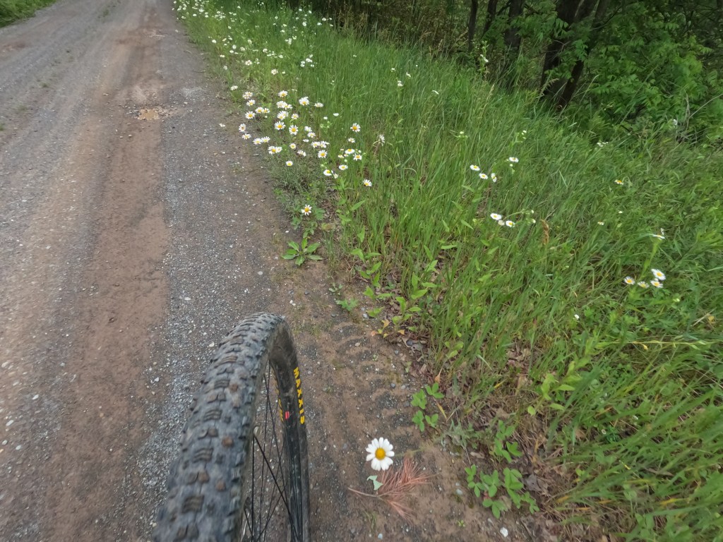
This bike leg was soooo much more forgiving that the previous one! There were a couple of big climbs, but nothing that made me want to die! It probably helped that we’d had some sleep and decent food, both of which are always a morale booster! I find myself without a lot to say about the bike legs, I’m guessing because the miles just click by and the scenery is much the same. I do remember having a bit of deja vu during this segment. Parts of it were so similar to the big bike leg we had last year. The terrain, the heat, the feeling of man is it over yet?? I did enjoy the miles of daisies we passed on the road side! As we made our way back down to TA4, we decided to go slightly out of our way to snag one optional point. We biked into TA4 around 1:17 pm on Wednesday, excited to see our gear bins and the taco truck!
Stage E Trek – 79.6 km/ 49.5 mi – 26 hrs. We planned 26 miles in 35.5 hours. TA 5 time of 6 hrs and 20 mins.
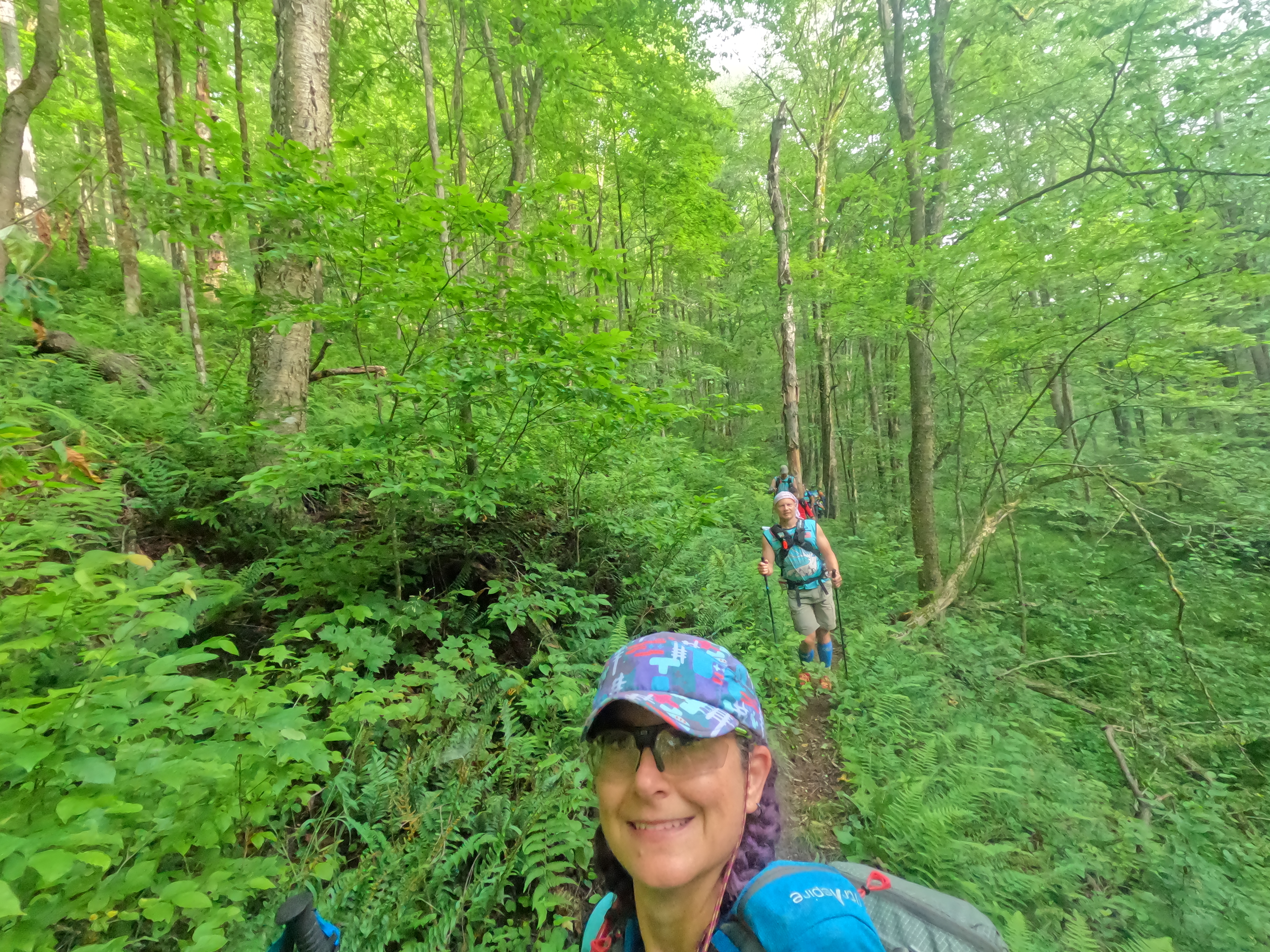
After a long transition of 2 hrs and 20 mins, we donned our extra heavy packs (had to carry the tent this stage, plus more food) and headed off for the first CP. Of course it was uphill immediately but an easy grab to start the stage! We knew this stage was going to be a challenge and as a team we agreed to move at a pace that we could nail the navigation and to not get caught up with following other teams. Once again I did the pace counting to make sure we found the correct trail in the network of trails, some on the map and a lot not on the map! We found a nice arrow someone had made but it was not pointing the direction we had planned! Looking at the maps afterwards, it totally would have worked, taken a bit more distance but not as much bushwhacking. As we made our way across the long plateau to the reentrant we needed to descend, we lost the trail in the clear cut debris. So from there down to the creek, it was just a bushwhack that went steadily down, down, down. Parts weren’t too bad but after a bit, you had to decide which hurt less, walking on a slope or walking in the rocky reentrant. We had several teams on our heels for this part but at the bottom we all sort of dispersed. We were looking for an old railroad bed and after a bit of walking discovered that the mound to our right was the actual rail bed! From there it was a steady night hike out to the CP. Again the whole semi-private land caused us to do some circling around but we made it to the main road with no issue. We needed to cross a rather larger stream and kept hearing these really loud cracks. After we crossed we saw a team throwing rocks into the creek to make a quick bridge. Not sure it was the same team that won the pink floaty award after the race, but maybe! We hiked along old roads for about an hour before coming to the next intersection we needed. Shortly after leaving the main road we found an awesome spring box to fill our bottles and bladders. From there we headed up and up and up again. This trail started pretty solid but ended up being very marshy in areas. I quickly succumbed to a slip and ended up with wet feet yet again. Steve tried very hard to stay dry for as long as possible. As the night wore on, the trail began to diminish, the fatigue (both mental and physical) set in and of course we made a goof. We ended up following a trail made by racers but it wasn’t the trail we intended on the map! It was a pretty easy course correction except for the 200+ foot elevation gain over less than a quarter mile! Once we made the correction and hauled ourselves up, it was time for sleep. Since we had to carry the tent on this stage, we went ahead and put it up for the night. Another wild sleep, this time maybe less restful than the previous, but still beneficial to the mind and body!


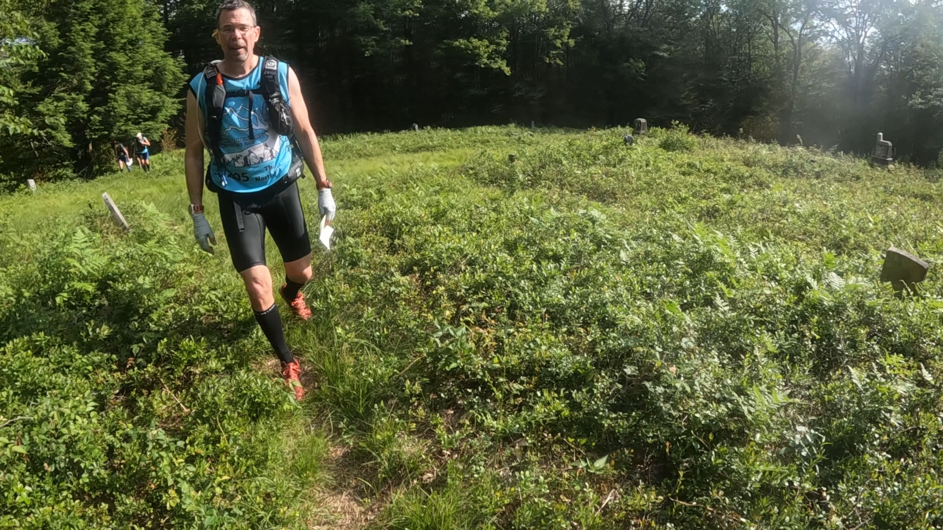
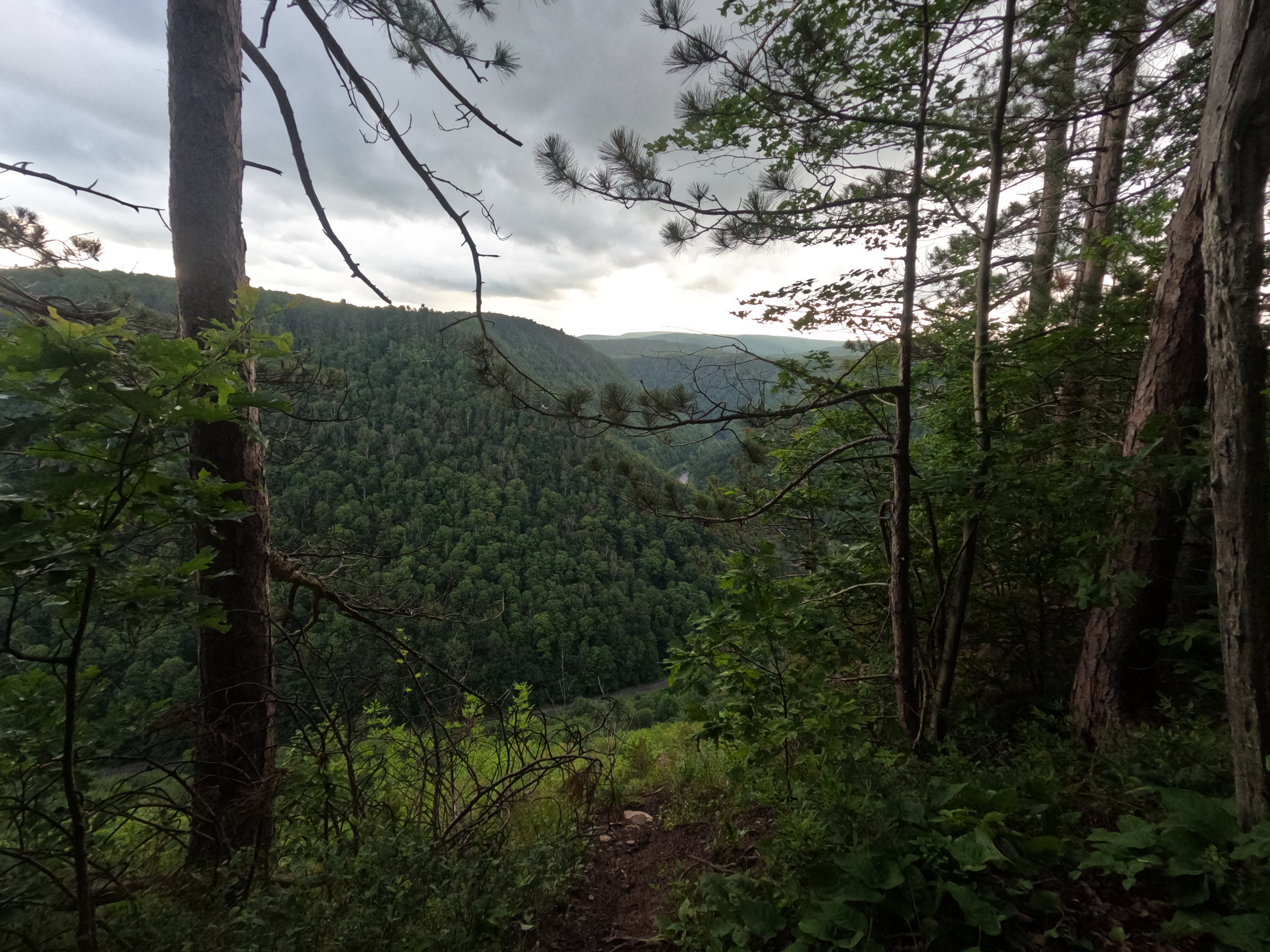
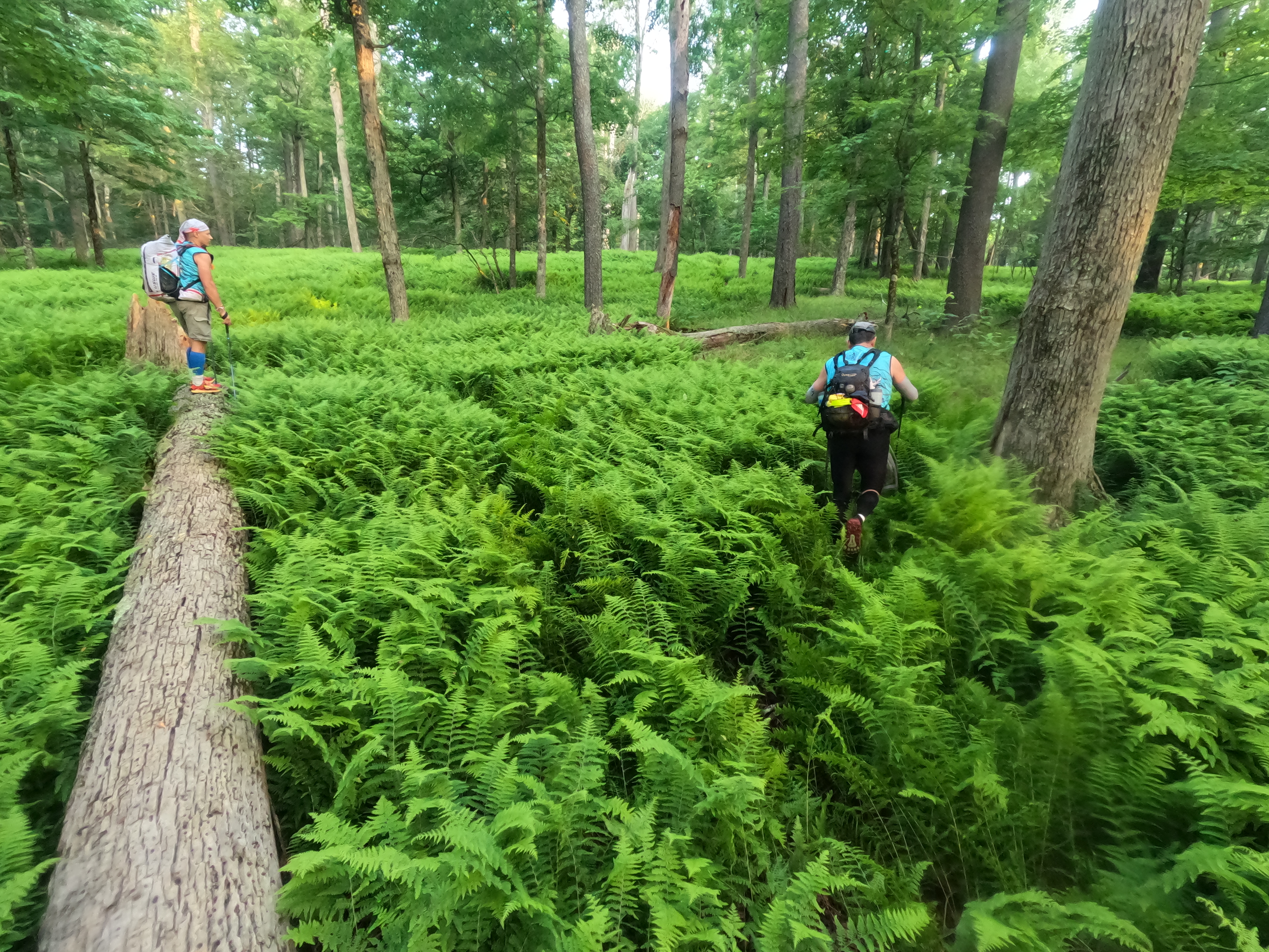
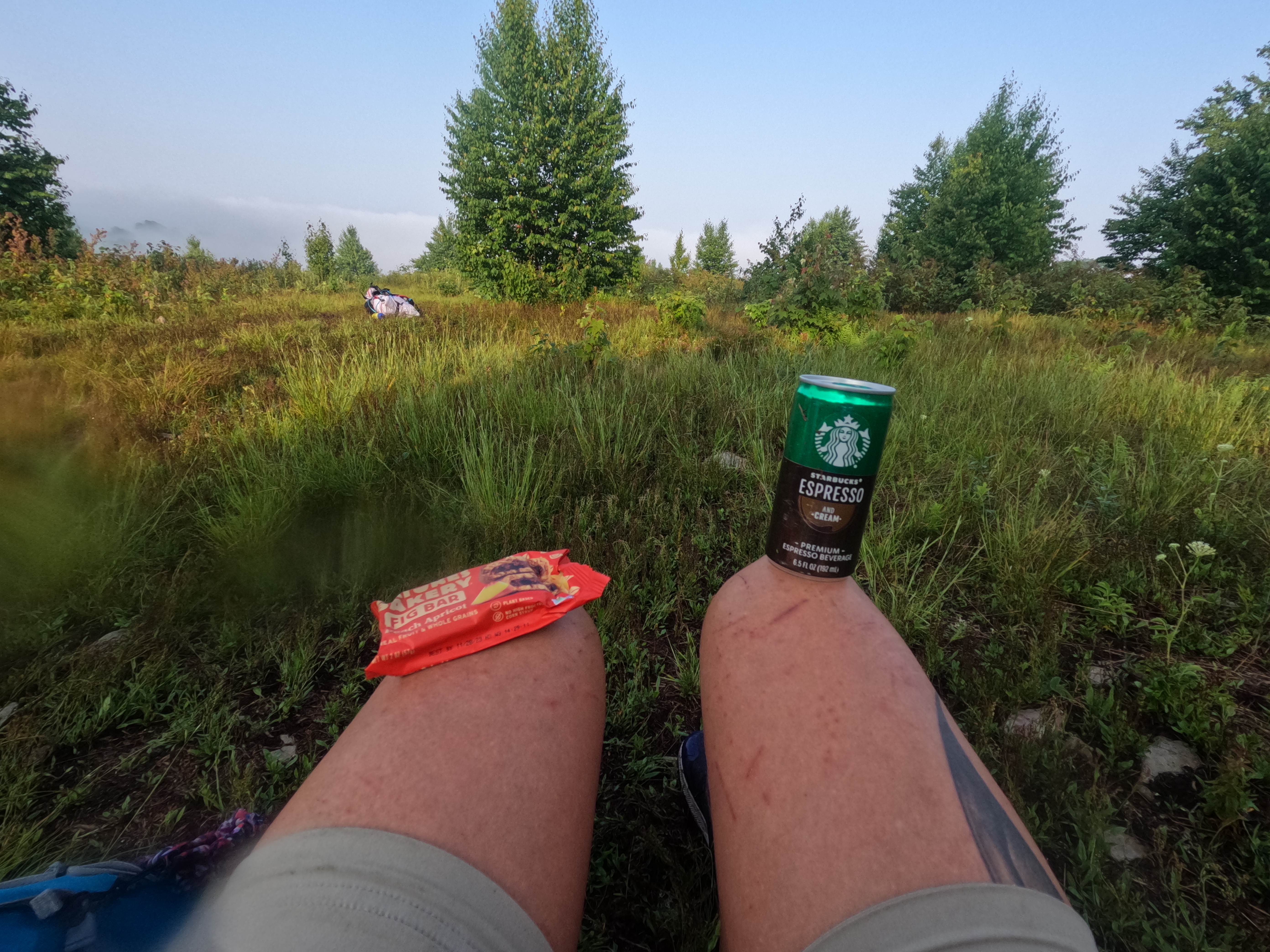
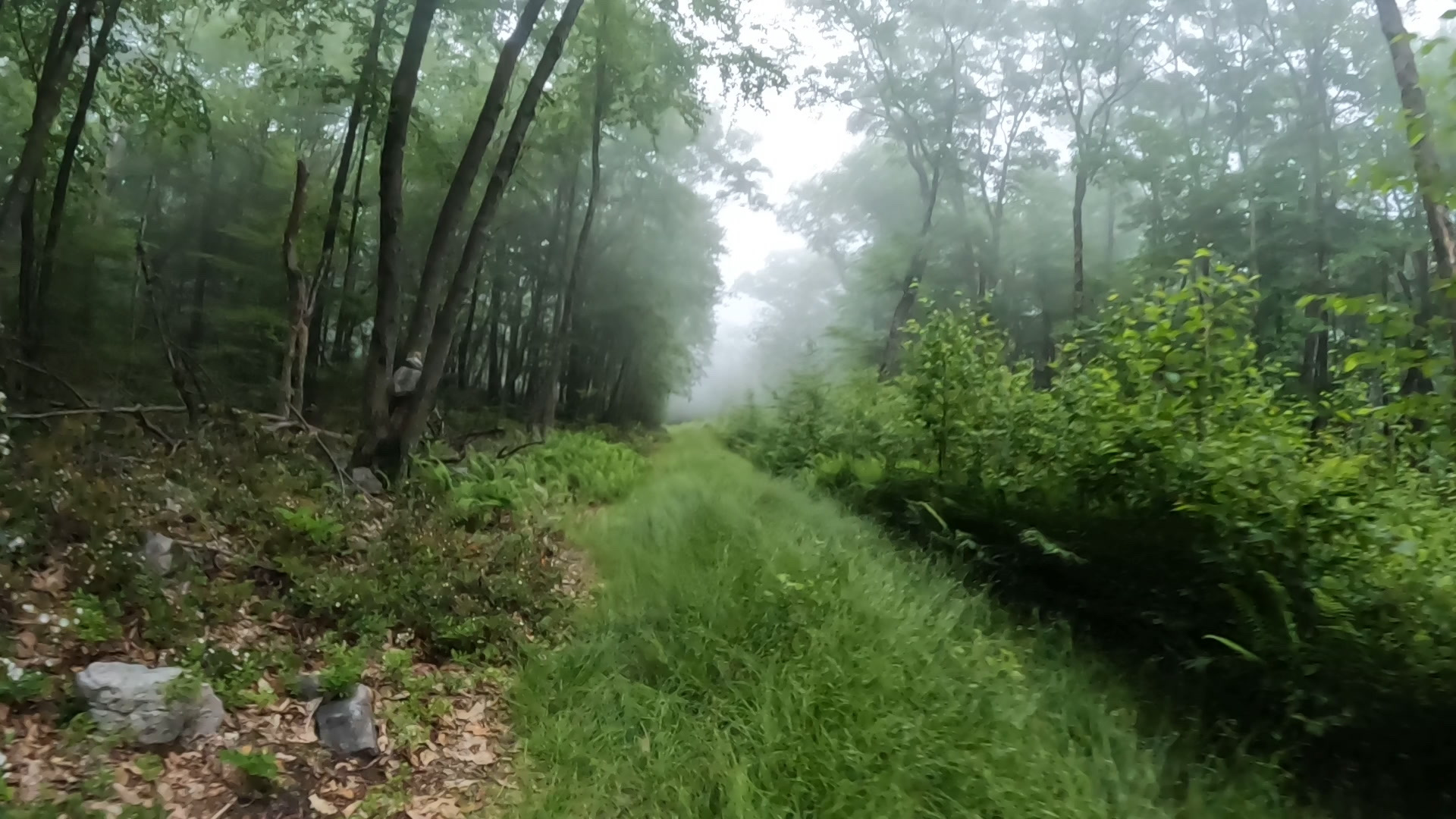
We were up before dawn and back on the trail to CP 38. Working our way up through lovely areas of ferns, we emerged at Elk Lick Knob a bit before 8 am on Thursday. The look out was completely fogged over but I’m sure it offered amazing views! I took a second to enjoy a proper breakfast of granola bar and mini shot espresso. We heard a team approaching the CP from the opposite direction and viola, the Wildlings appeared! We traded hellos and each made our way off to the next CP on our routes.


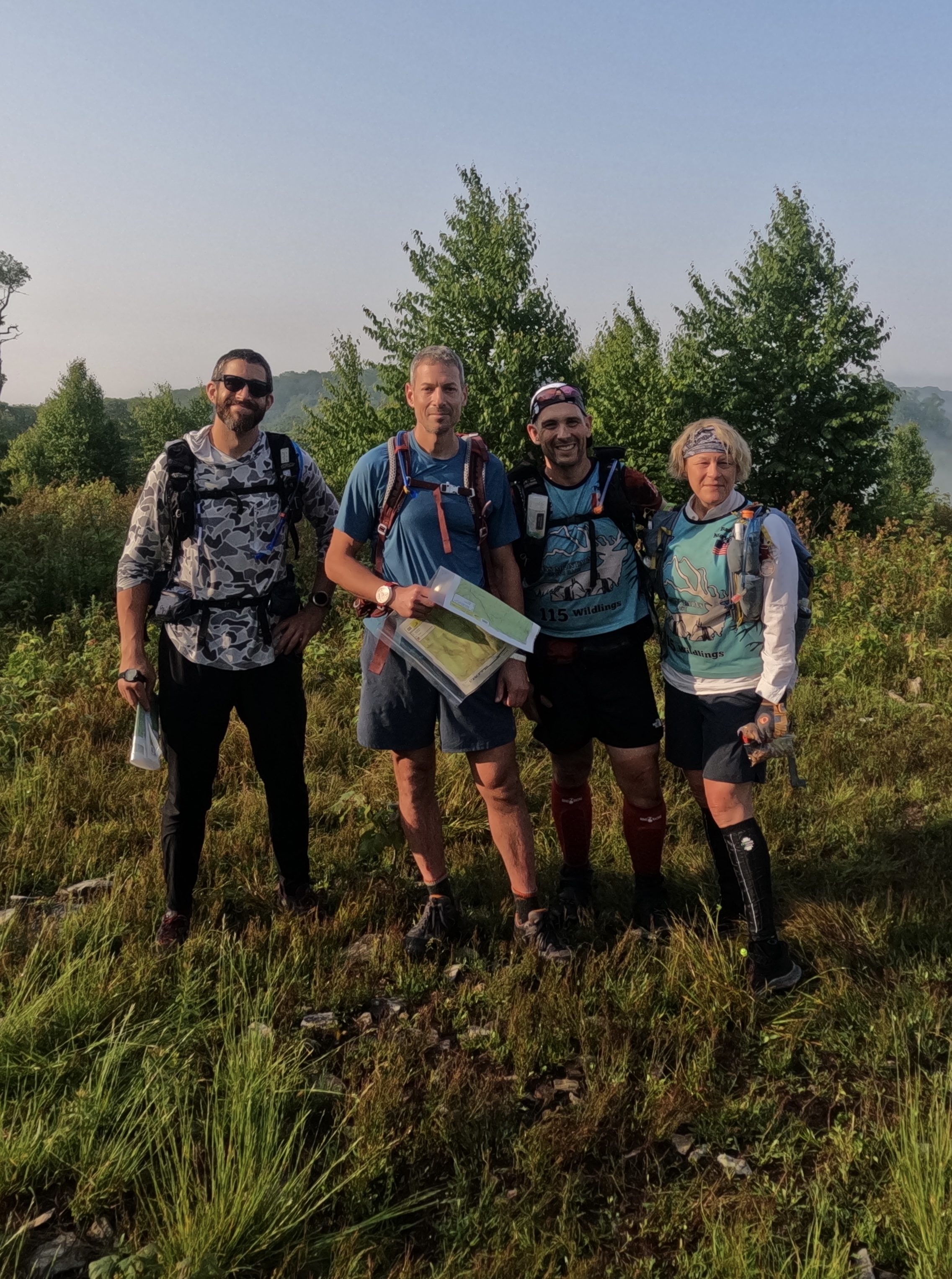
We headed down to the creek and followed it for a nice bit until we came to CP 39, a large pool of water in the Hammersley Fork. Teams 5060 and GOALS Masters were there ahead of us and apparently JD took out the nice log bridge over to the CP! The Wildlings and another team showed up and we had another CP party going on! A request was made from a racer for Gold Bond, but not for his feet… we opted to dump some fresh from the bottle into an empty chip bag for him to use as needed! I tried to pop a rather large blister that was forming on my toe and side of my heel but neither would go for me. My great idea had been to carry a safety pin for foot care but it wasn’t sharp enough. I think I need to carry a leather working needle for this since they are designed to pierce skin! Back on the trail we wound our way down and around the various creeks in the valley. At one point we were “snaked out”, which is similar to cliffed out but with a big ass rattlesnake! After 27 years of knowing Steve, I don’t know why I question when he says in his serious voice “stay back”! I mean, I did stop when he said but then I had to ask why?! A slight detour and then we ended up in the river valley and the meandering trail sort of petered out. In another vain attempt to keep our feet dry, we scrambled along the cliff bank, over dead trees, and then back to solid ground. As we made our way over the last creek, we ran into the Wildlings again! The next CP was up Bell branch and we had a nice trail to follow that unfortunately took us up away from the creek but did allow for some pretty accurate pace counting. Once I’d reached the correct distance, we headed down to the creek and pretty much came out at the CP! I love when that happens! A quick recharge in the creek and we faced the large climb back up (633 feet over 0.5 mile). From there we decided to play it safe and find the trail down the reentrant we needed for the next and last CP. Other teams went on a more overland route and it appears that saved them more than an hour on the hike we did. The hike down to the final CP seemed to take forever! It was beautiful, don’t get me wrong, but it was taking a very long time! We finally made it to the road around 6 pm and then the feet really started to ache. Another 2.5 hours later we finally limped our way into the TA just shy of 8:30 pm. I say we, but it was mostly my feet that were killing me. The guys were mentally exhausted from the hours of navigating but didn’t seem as foot sore! Arriving at the TA and the luxury of our gear bins, I said we really need to sleep at the TA this time. This would be our last big sleep of the race and I really wanted to have the luxury items of my sleeping pad and bag since they were right at hand! It wasn’t too hard to convince the guys to agree and after we had the bikes set up and our packs packed, we nestled down for a nice snooze!


Stage F Bike – 39.2 km/24.4 mi – 5 1/2 hrs
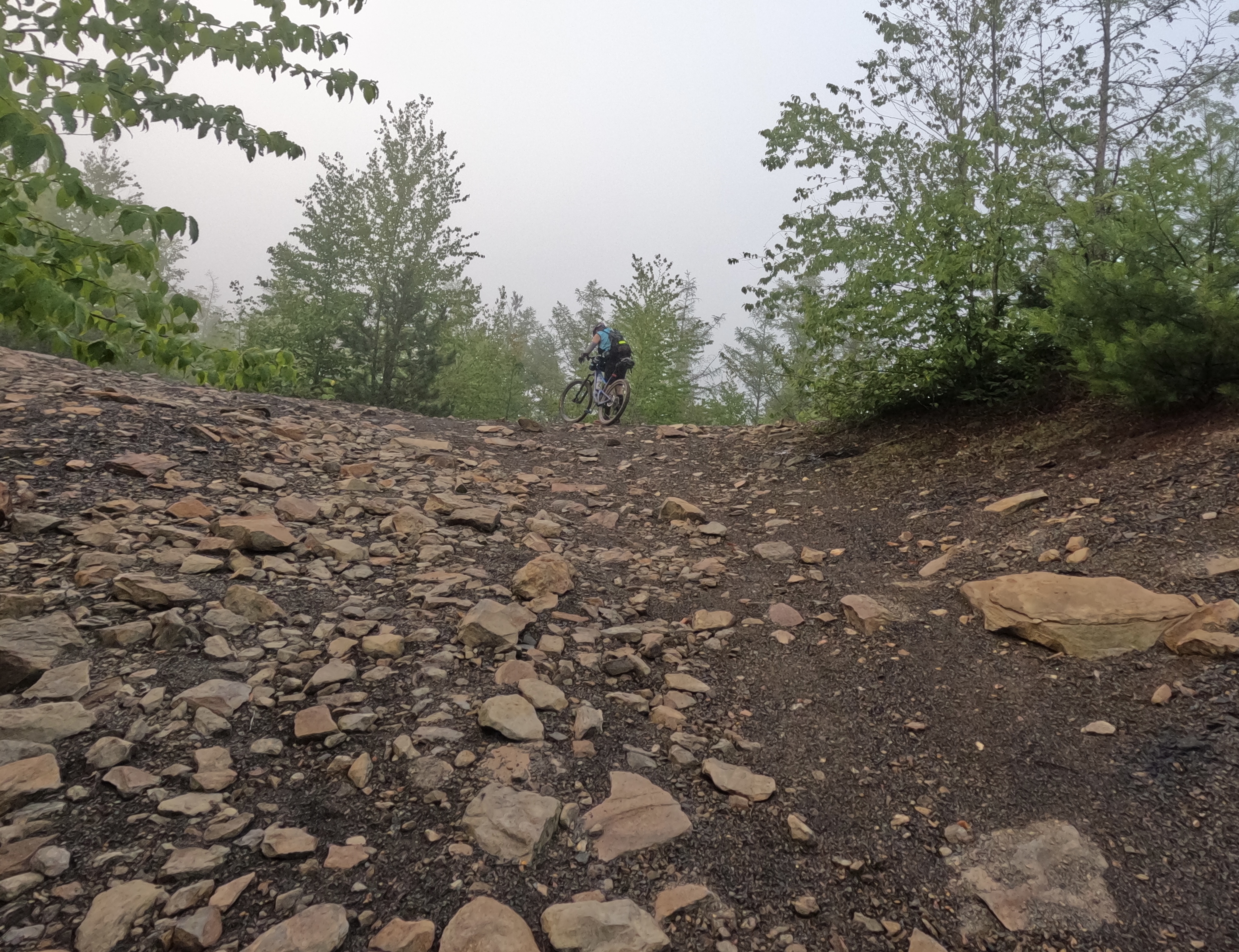
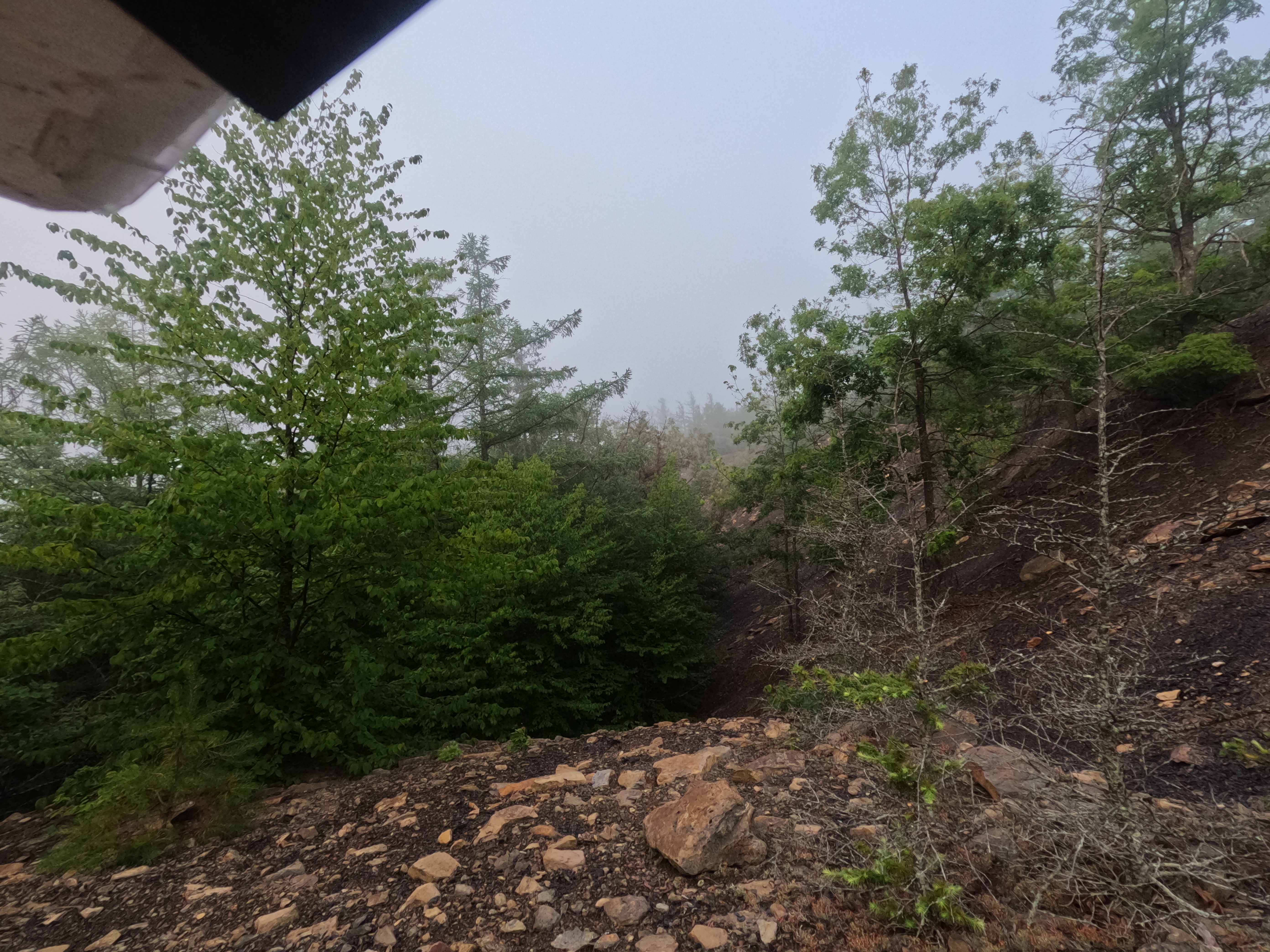
What seemed like a mere 15 mins later, my watch let me know that it was time to get up! I’d draped a tarp over my bin and bike, making a pseudo tent for myself, which was great except for the condensation! Made for a nice impromptu shower as I was sitting up. We said goodbye to our bins and headed off via bikes around 3 am Friday morning. This next bike leg was primarily in an old mining area turned ATV park and all of the points were optional. We had a nice planned loop to pick up a few CPs, keeping our eye on the timeline and cut off times. We’d banked some hours and were slightly ahead of our our shit schedule! The ATV park was a maze of trails, many of which were not on the maps. It was another foggy sunrise as we made our way over the rocky ground. The ride out was all downhill and pretty fast and then we had a road ride into town. TA6 was going to have a BBQ truck but unfortunately they had to leave for an emergency before we got there. Our consolation food was a great selection of donuts, fruit, and PB & J. We snacked as we inflated the rafts, broke the bikes down, applied sunscreen, and packed all the water! Fully laden, we hit the water around 10:25 am on Friday, well ahead of the mandatory cut off time of 4 pm!


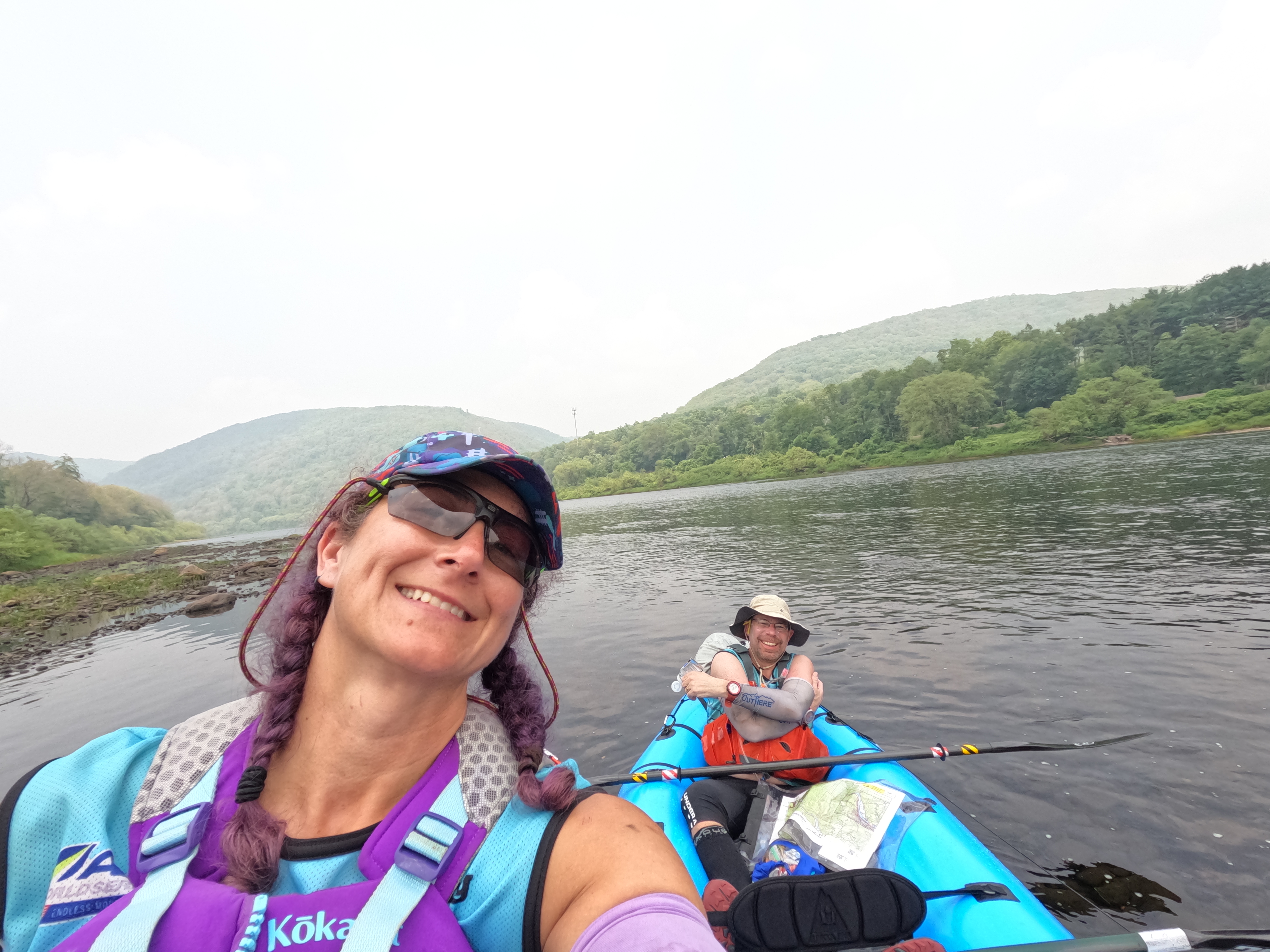
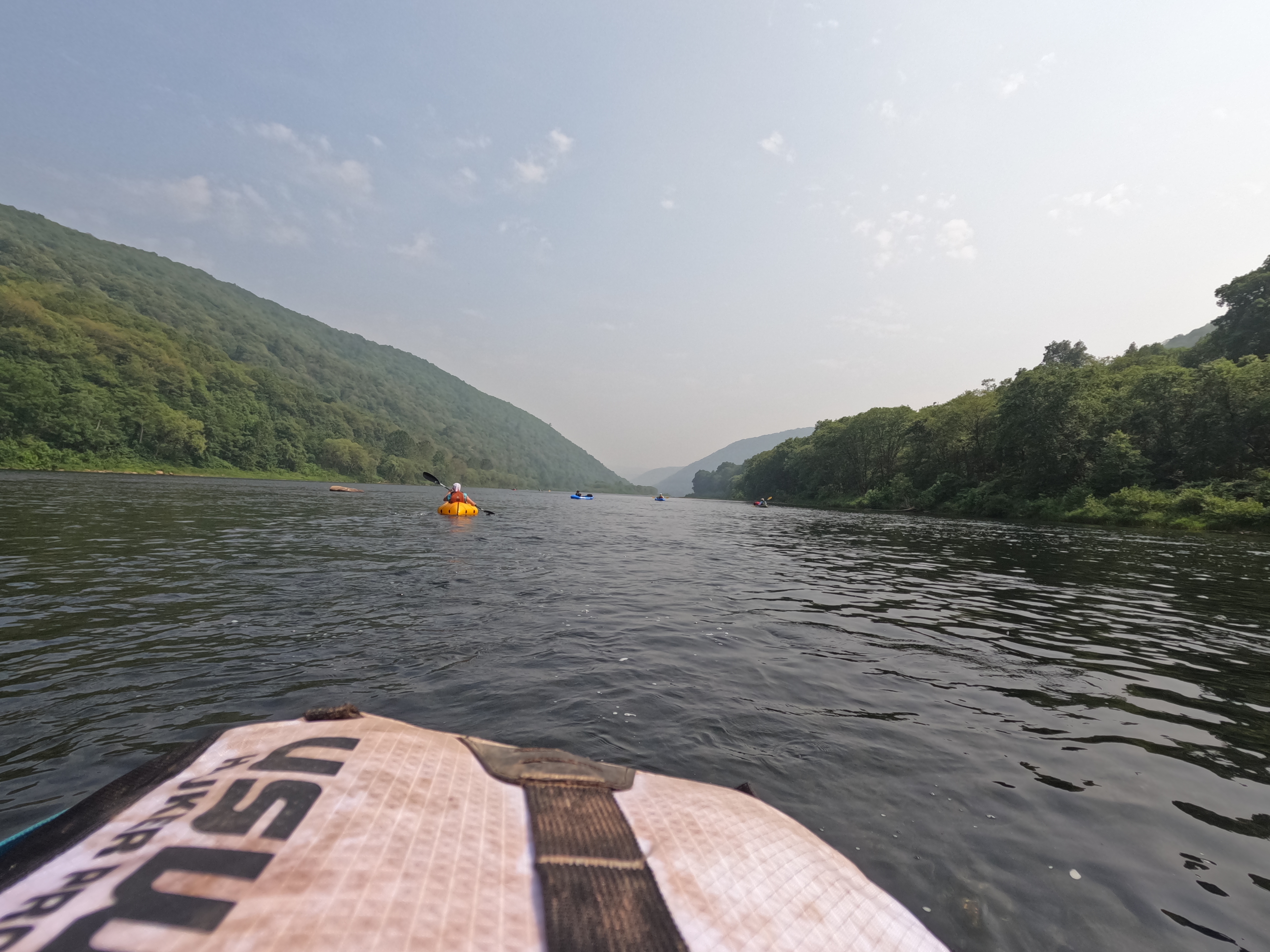
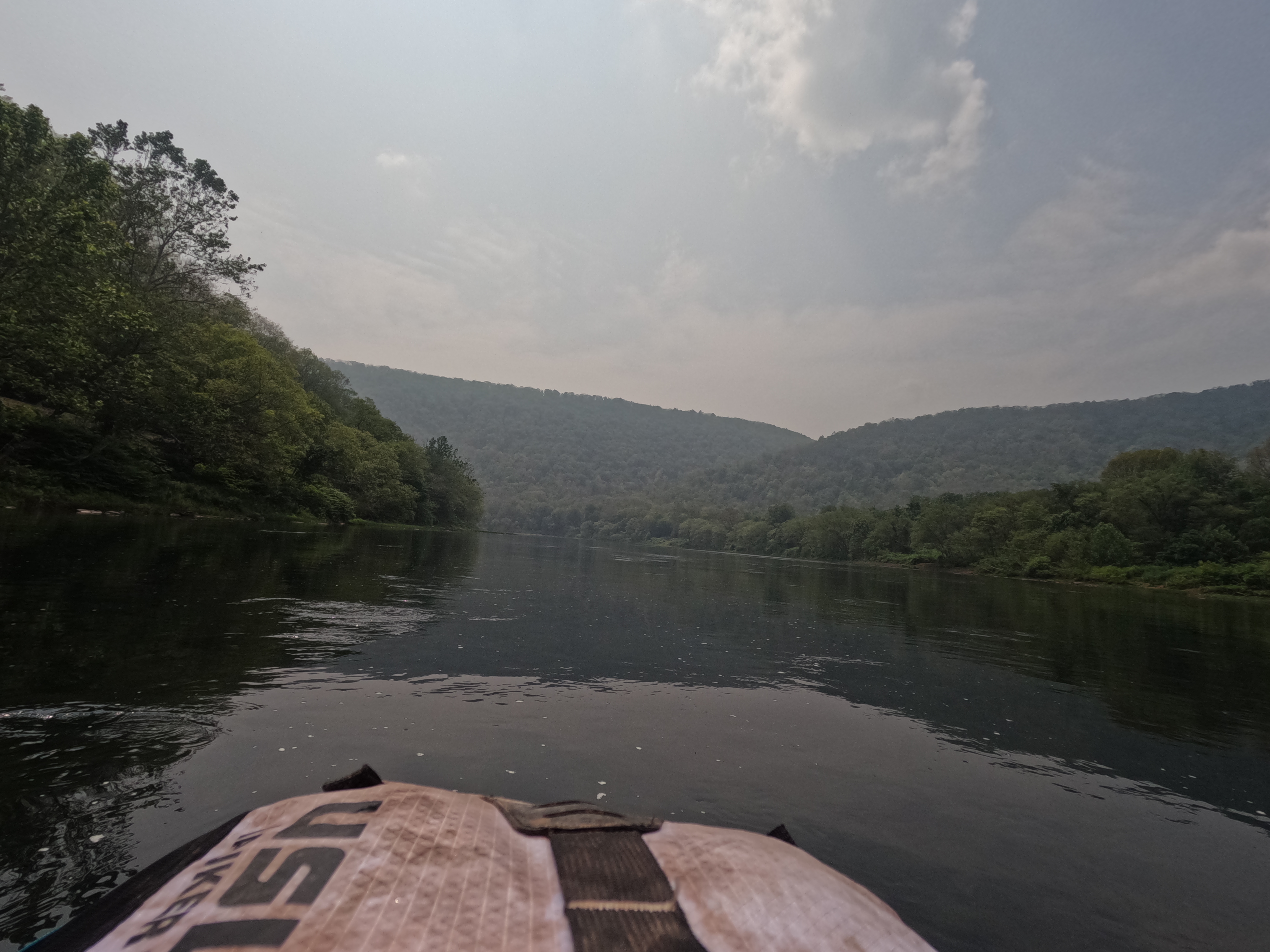
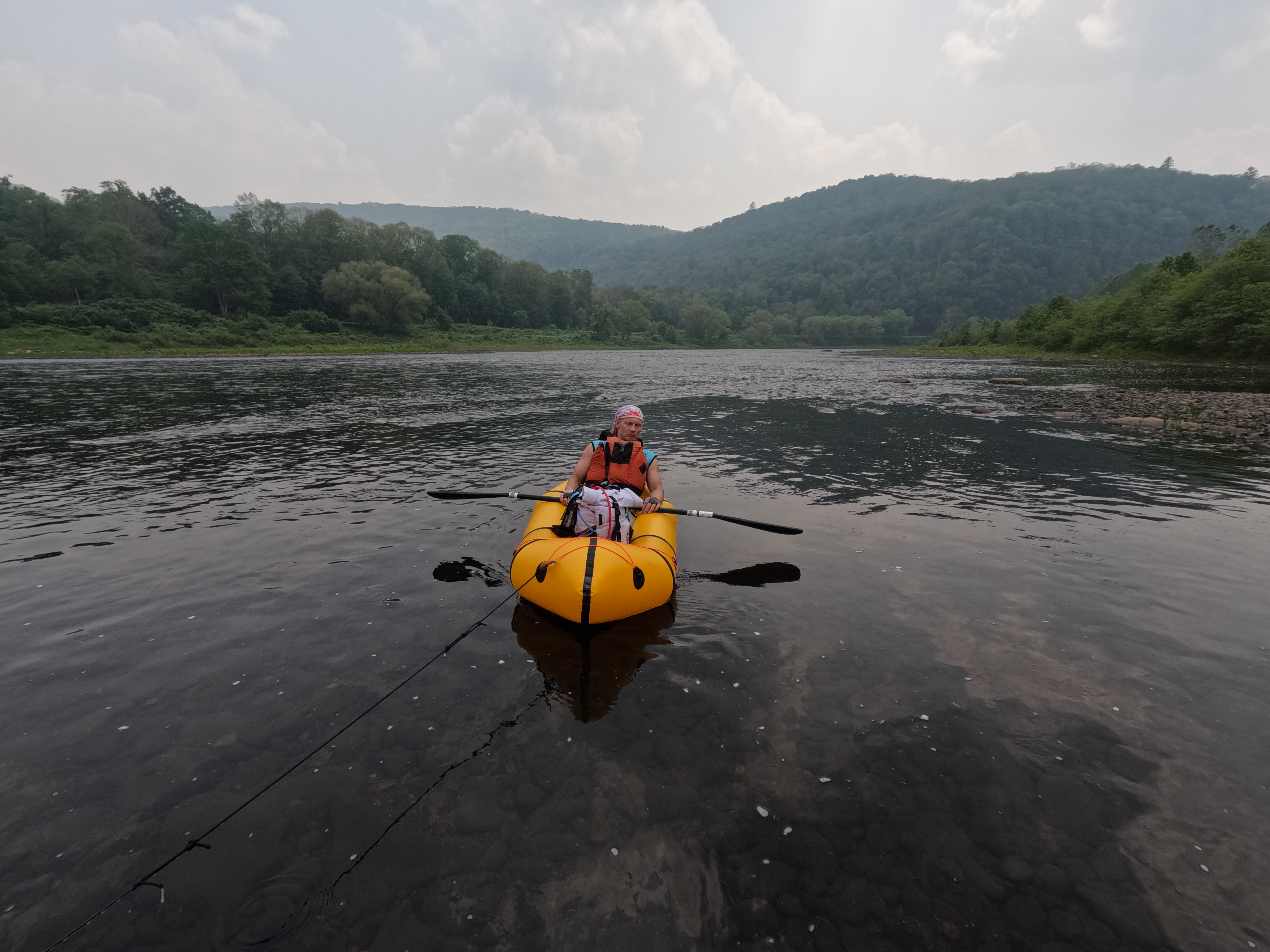
Stage G Packraft – 46.1 km/ 28.6 mi – 9 1/2 hrs. We had budgeted 12 hrs originally then changed to 8 hrs…
In some ways this stage was the hardest of the whole race. We had 30 miles of a wide, shallow river to paddle down, with a current that was sluggish. No checkpoints on this section to keep the mind engaged, just a mind numbing paddle. We had planned to stop and get out occasionally during this section, to both stretch the legs and make sure everyone was eating and drinking. Steve was in his solo raft and tethered to ours but not as a tow, just to keep him close. In a tandem raft, one person can stop for a second to take a drink or grab a bite but Steve didn’t want to cause us to tow him, so he wouldn’t stop paddling. As the hours crept by, we just weren’t making the progress we had initially on the first stage. The self bailing holes felt like they were dragging us backwards with each stroke, the shallow areas caused us to hop out and push the raft, the heat was building. All in all, 0/10 not my favorite stage! We ended up switching the rafts around, putting Steve in the back of the tandem and me in the solo. At one point a team with a speaker went past us (in those lovely MRS tandem rafts) and the music was so stimulating! I remember the epic paddle last year and how Kristy sung to us to keep us awake and moving. No one on the team this year had any interest in singing and I already have a speaker in my cart on Amazon! I typically hate the disruption of music in the woods but I can see the benefit in a race when your brain is wandering off! Finally, after 9 1/2 hours of shoulder destroying paddling, we saw the ramp for TA7! We ditched our shoes to allow our feet to dry one last time, built our bikes, and rallied for the last stage. I made coffee with the Jetboil and somewhat more alert we left the last transition area at 9:45 pm.
Stage H Bike – 71.33 km, 44.32 mi – 6 hrs. We budgeted 9 hrs.
Leaving the city, we stopped at a gas station for one last treat before heading into the woods. This stage was taking us through the Amish country and into state forest lands. The price of entry into this stage was one hell of a “biking” trail up the Kammerdiner Run creek. Seriously, Pennsylvania mountain bikers must be built different because there was zero chance of us riding this section, especially uphill and in the dark! We hauled our bikes across the creek several times, road sections that might have been 100 m long, pushed our bikes some more, and eventually made it out of the creek and into a more rideable section. The first CP was a pond/dry depression. We got a bit turned around on the trails but felt like we were in the correct area. We started to walk into the woods, not seeing any racer trails, when we heard a “peep”. Yay, a frog! What do frogs like? Ponds! Using the peeps of the frog to help us, we found the checkpoint and now had a known location for the trail system! From there we had to approach the next CP using a trail since it was at night. The day time racers had the option to go in via a private driveway. We opted to do the trail on foot, not sure if others biked it or not but it was fine for hiking! Back on the road we had to navigate a construction zone around the dam at the reservoir. I had a small over the bars bike crash but bounced back up and kept going. From there we had some lovely roads and trails, although we did make a course change on the fly after seeing that Cranberry trail was pretty rugged and there was a nice paved road/trail farther down. The night biking when the trails are smooth are some of my favorite parts of racing! We made our way up and at some point Steve started flagging. Everyone’s stomachs were feeling a bit rough and this led to being a bit underfed on top of the mounting fatigue. We pulled over and I called a 20 minute trail nap, having Steve lay down and just stop. Once the alarm went off, everyone choked down a snack and then we hit the trail again. It is amazing what just a short rest can do! Steve was back up and running at near 100%! As the sun was coming up we were making the final climb up the Kalbfleish trail, meeting up with several other teams along the way. The top of the trail was smooth sailing and steadily down hill. We had a dark zone that was going to lift at 5:45 am and we had zero issues making that timeline, arriving around 7 am. From CP 44 we had a rapid downhill with lots of rocks and drops to pick up to alternate points along the way. This was one of my favorite sections, long downhills, smooth trails, and gorgeous scenery! We popped out of the woods and then it was a road ride back into town! We crossed the finish line at 8:19 am on Saturday, grateful to be done and equally grateful for the privilege of being able to do this race!


Finish!
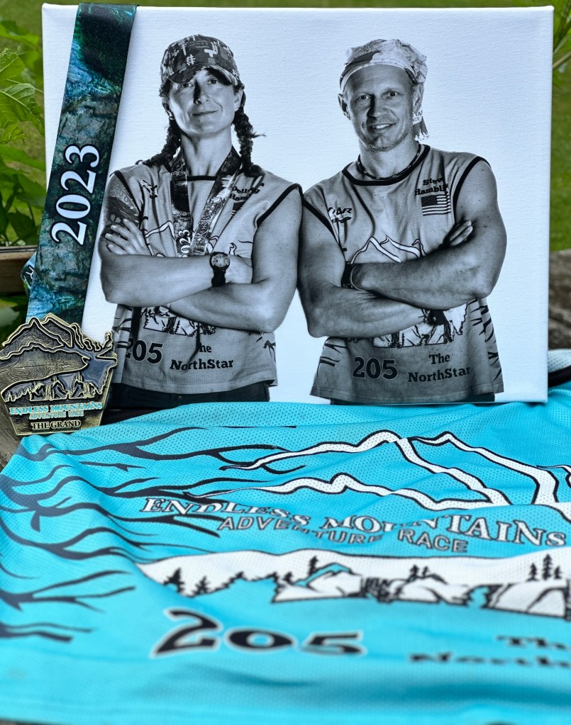
The feeling of coming into the finish line is one of relief, gratitude, elation, and also a bit of sadness because this particular journey is over. The raw finish line photos capture all of this! Thank you to all of the Rootstock crew who took time to capture the moments of the race!


We ended up 2nd in our category of 2-3 Coed teams, 11th in our class (those teams who got all mandatory pts plus some optional) and 15th overall in the field of 32 teams. Overall I think we were all very happy with our race, our strategy, and our team dynamics!
Follow Up Thoughts
Trying to recall all of the thoughts that ran through my brain during and post race has yielded the following points I’d like to jot down for next time:
- I’m choosing to do this, choosing the suffering, remain mindful that this is a privilege! Many people the world over are suffering due to circumstances they cannot choose or control.
- Take some of the “live in the now” race mindset and try to apply it to life in general!
- That eye twitch I’ve had since November goes away after 36 hours of racing but returned within 12 hrs of finishing….
- Be continually amazed by all of the badasses in this sport!
- Pack a bigger variety of food items next time. What tastes good on day 1, is tolerable on day 2, and disgusting on day 3 – except PB&J!
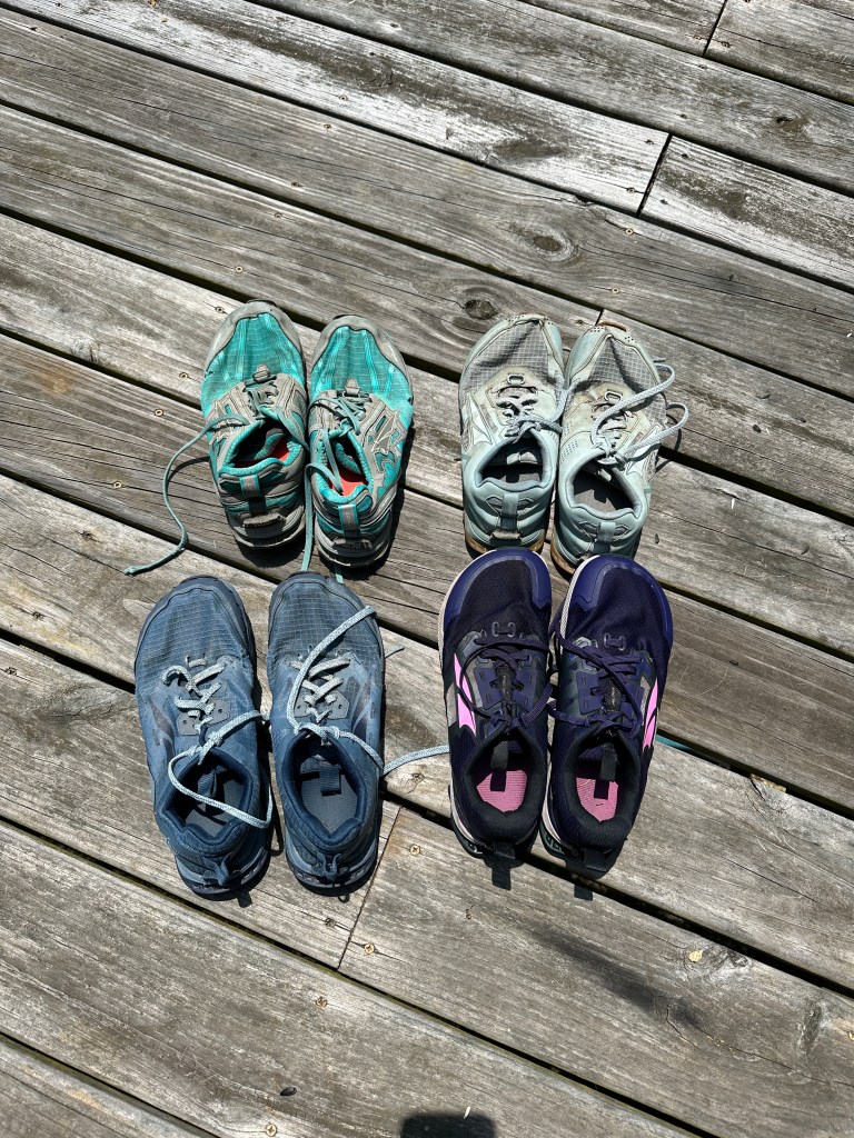
- Having a change of shoes for each stage is crucial, but next time also remember to pack underwear!
- That one pair of zip off pants don’t work for biking, won’t go over your thighs!
- Get a speaker and the make the most hopping playlist, especially songs you can sing along to.