
Pre-Race
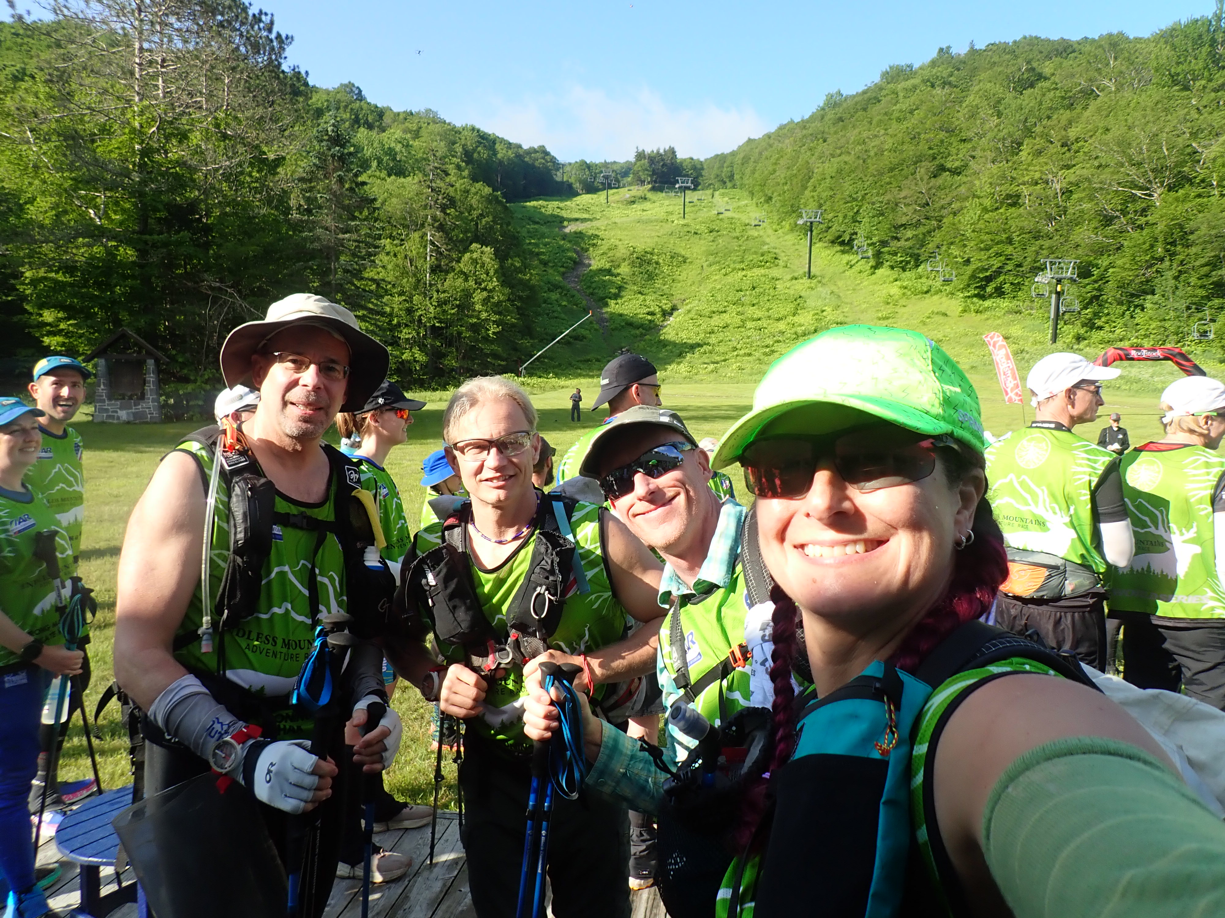
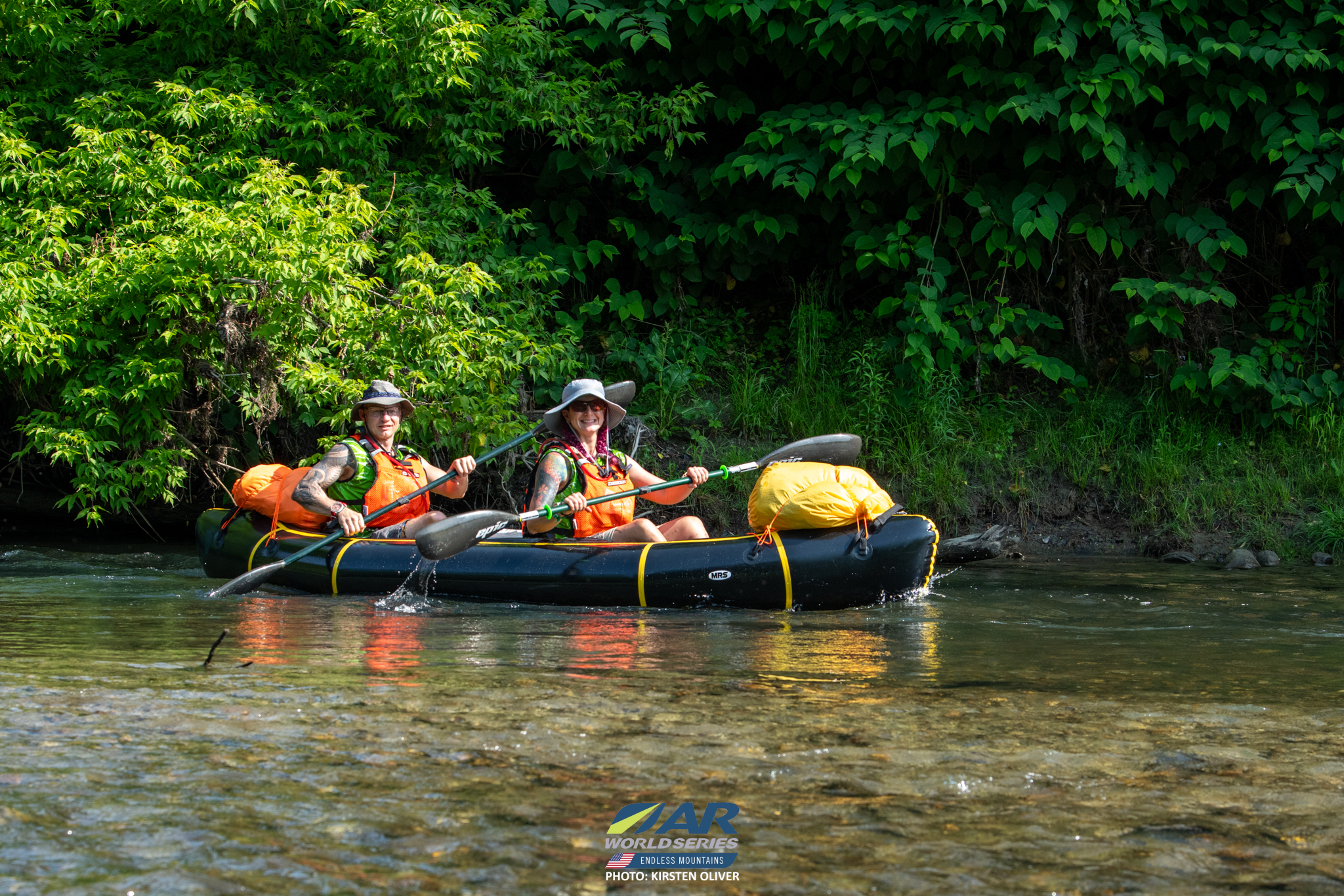
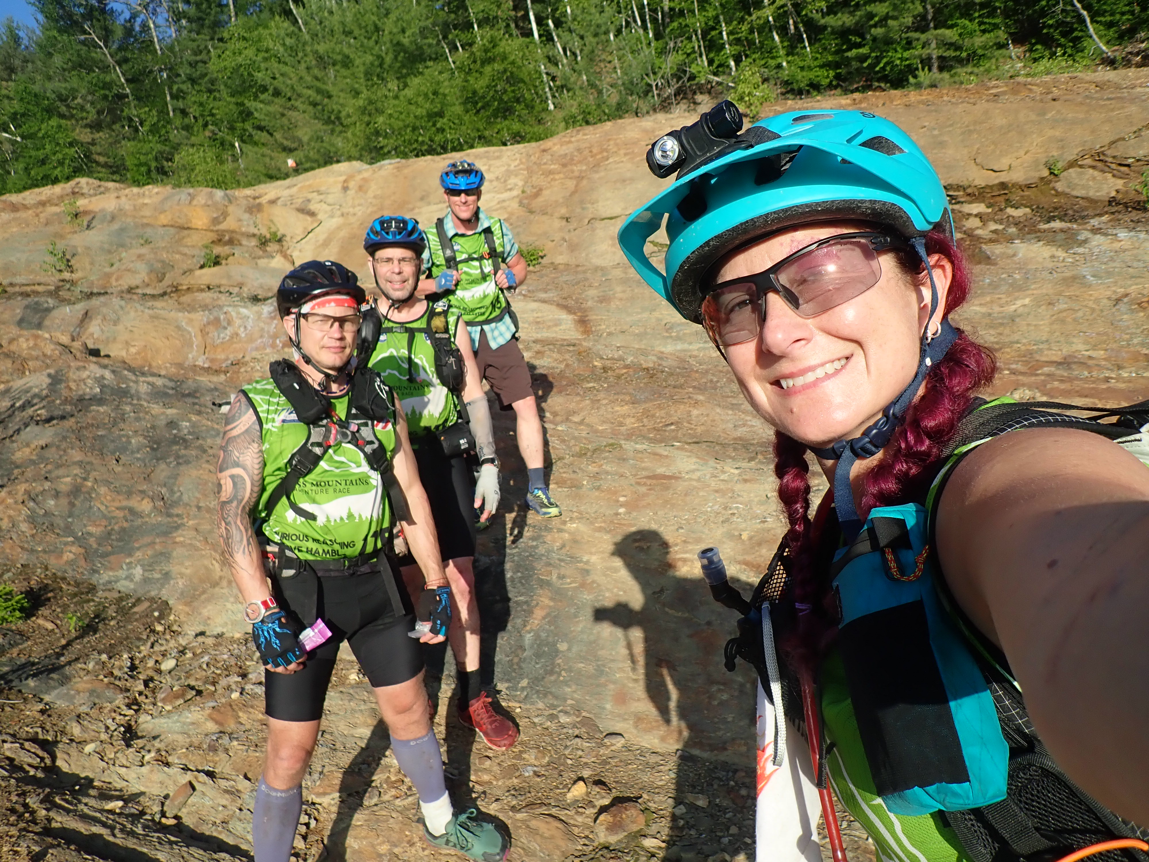
When Rootstock announced the next edition of Endless Mountains, I was quick to get Steve and Paul on board to race together again. I didn’t immediately join since the last time we race a 3 person team with packrafts, it was pretty awful with one tandem and a solo. Granted, that tandem raft was horrible and we now have a lovely MRS Barracuda so it might have been fine. Instead, I was holding out to see if we could find a fourth person to join our team. In March Steve and I raced the Homeplace Ramble with 361° Adventures and afterwards I asked the race director, Shawn, if he’d like to join us for Endless. His quick answer was no but thanks! A few says later I get a text asking if I was serious about making a team and what our goals would be. I assured Shawn that our team was very low drama and aiming to clear the mandatory points and any extras we could while still having fun. He was on board with that plan and with that Spurious Reasoning entered the premier co-ed category!
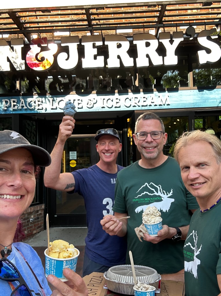
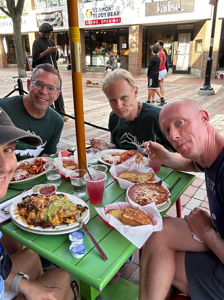
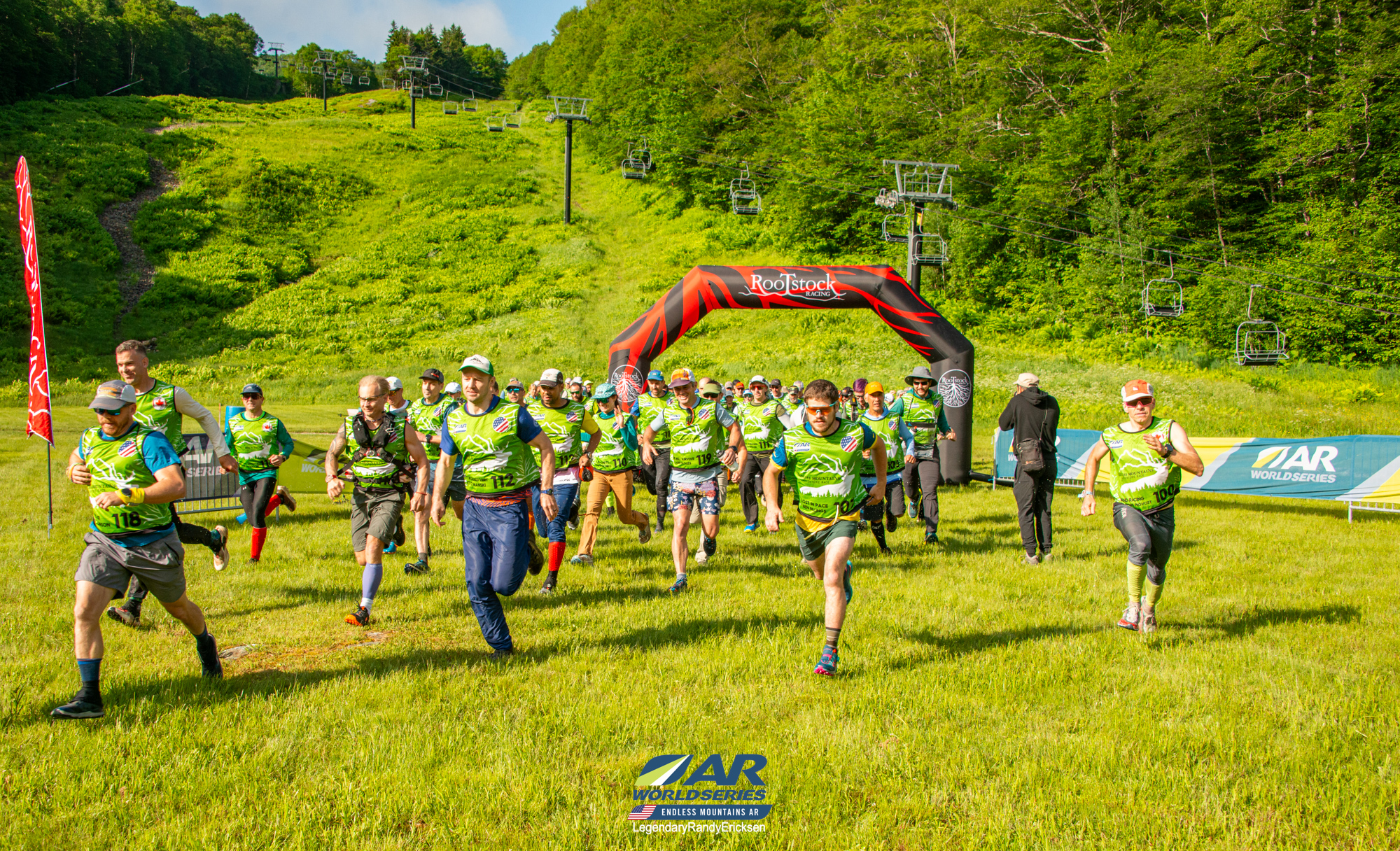
Arriving at St. Michaels college, we did the last minute gear checks, enjoyed tasty meals with Ben and Jerry’s for dessert, and anticipated the start of the race! The pre-race briefing left us all a little in awe of the size of the course, with Brent giving teams plenty of encouragement to drop optional points early in the course since there wasn’t much to cut in the later parts. This didn’t really change our race strategy but we did need to be aware of our timing!


Race Day – Prologue and Stage A
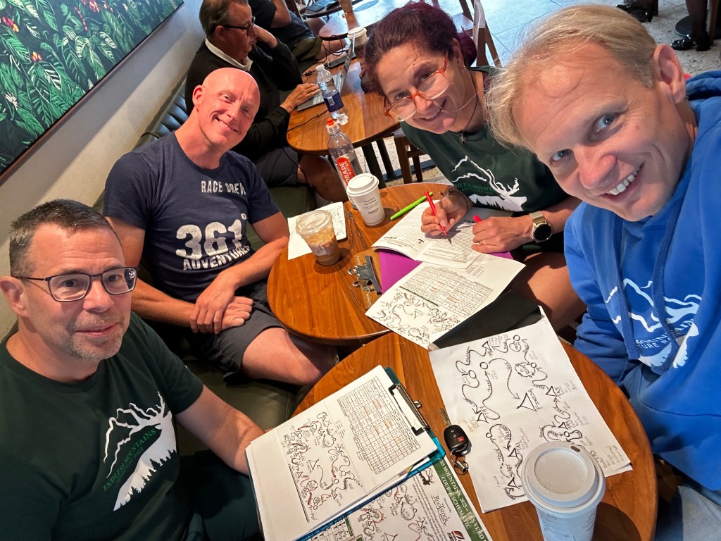
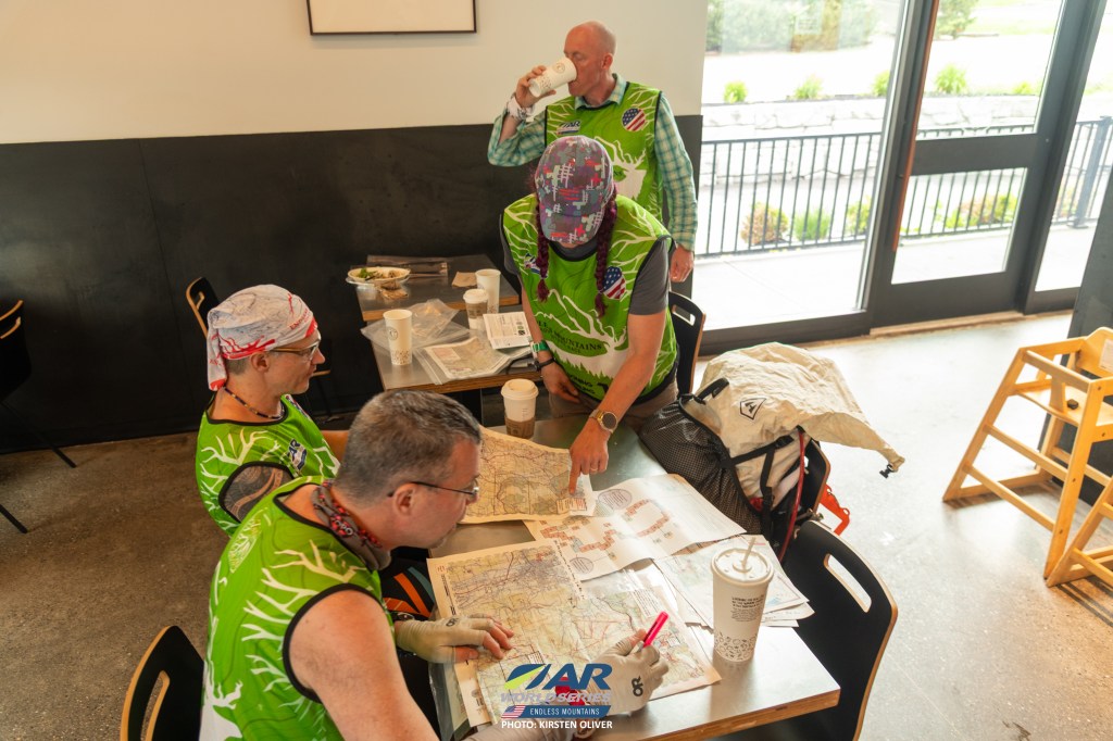
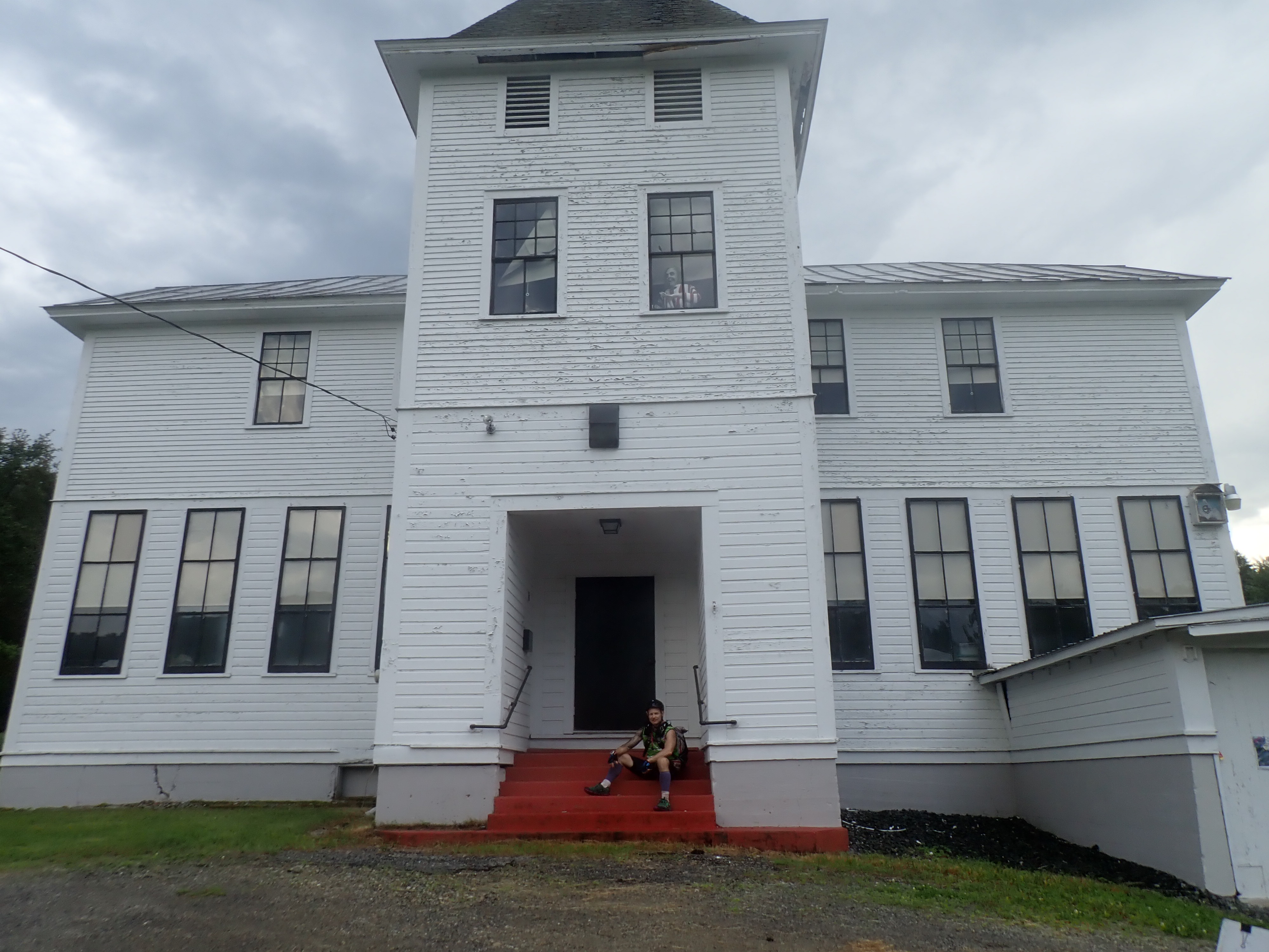
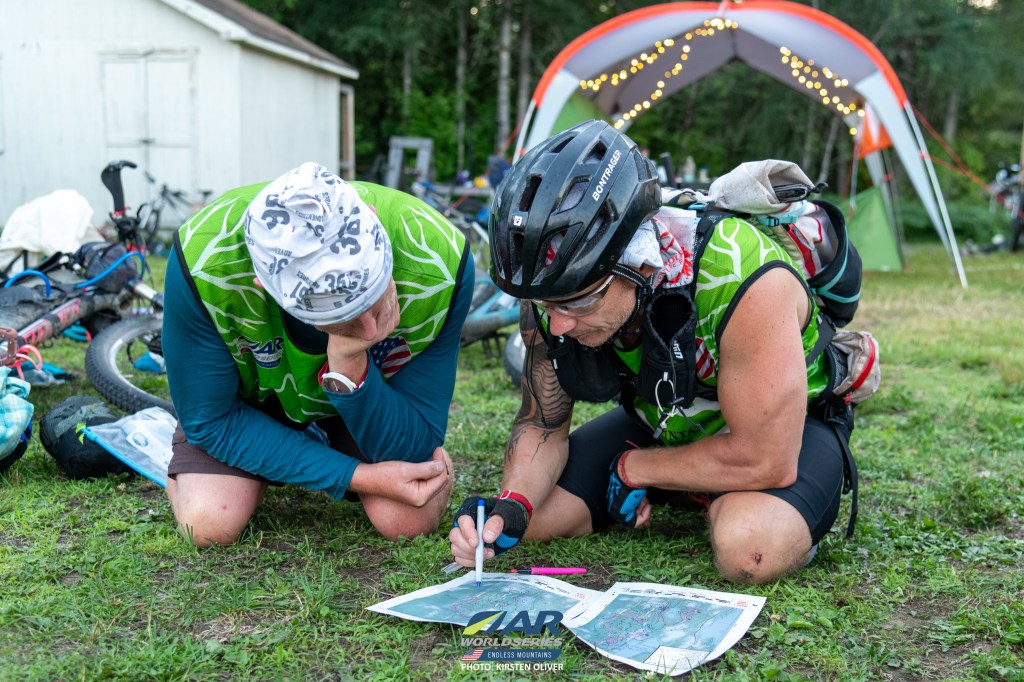
We arrived at the meeting location to get our trackers and breakfast, a bit of chaos with the pre-order Einstein bagels not being streamlined. Munching a yummy breakfast burrito, we loaded the school busses for an hour or so bus ride to Middlebury and the Snow Bowl ski area for our Prologue. After hiking around the ski area for the four CP’s we returned to the lodge and were given our race maps. Teams now had time to map as little or as much of the course as they wanted before heading out. Some teams made quick work of what I assume was a single stage, others planned more of the routes. We did a route for Stage A and organized the maps so they could be easily planned later on. Perhaps we should have spent time looking at the first bike stage as well but we were all fresh and ready to go.


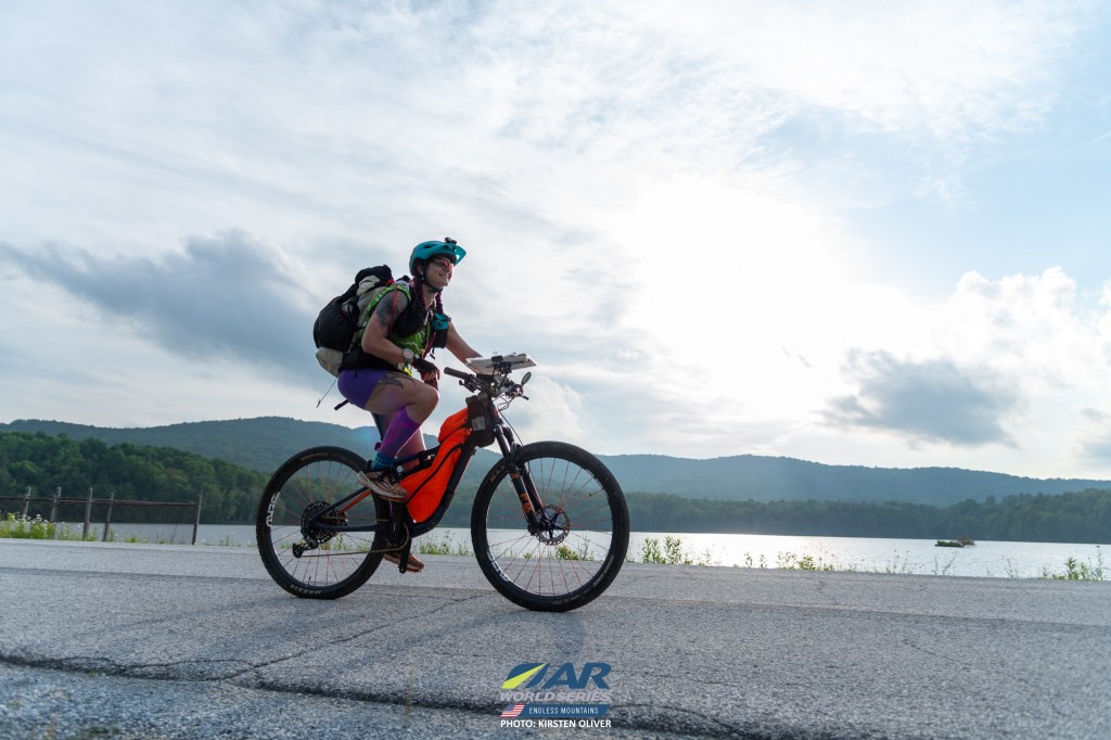
Stage A was like a 34 mile minimum distance and we ended up with something closer to 56 miles based on my Garmin trace. I know Garmin overestimates distances but dang, that seems like a lot! We headed out of Snow Bowl on the trek, picking up mandatory points and a couple of optional ones. I think the highlight of this first trek was the beaver dam CP. Once we got there, we decided to just work our way across the dam instead of back tracking, since the road was pretty close on the other side. We didn’t see an elephant trail in front of us, so we weren’t sure if any other teams did this at the time. Looking at the tracker afterwards, we had two other teams who decided this was the best path (AARP and Nerdquest), so we were in good company! At some point during the day Shawn turned to me and said thank you for inviting me and I responded with thank you for saying yes! I didn’t know at the time but this would become a daily ritual, a sort of check in, as the race progressed!


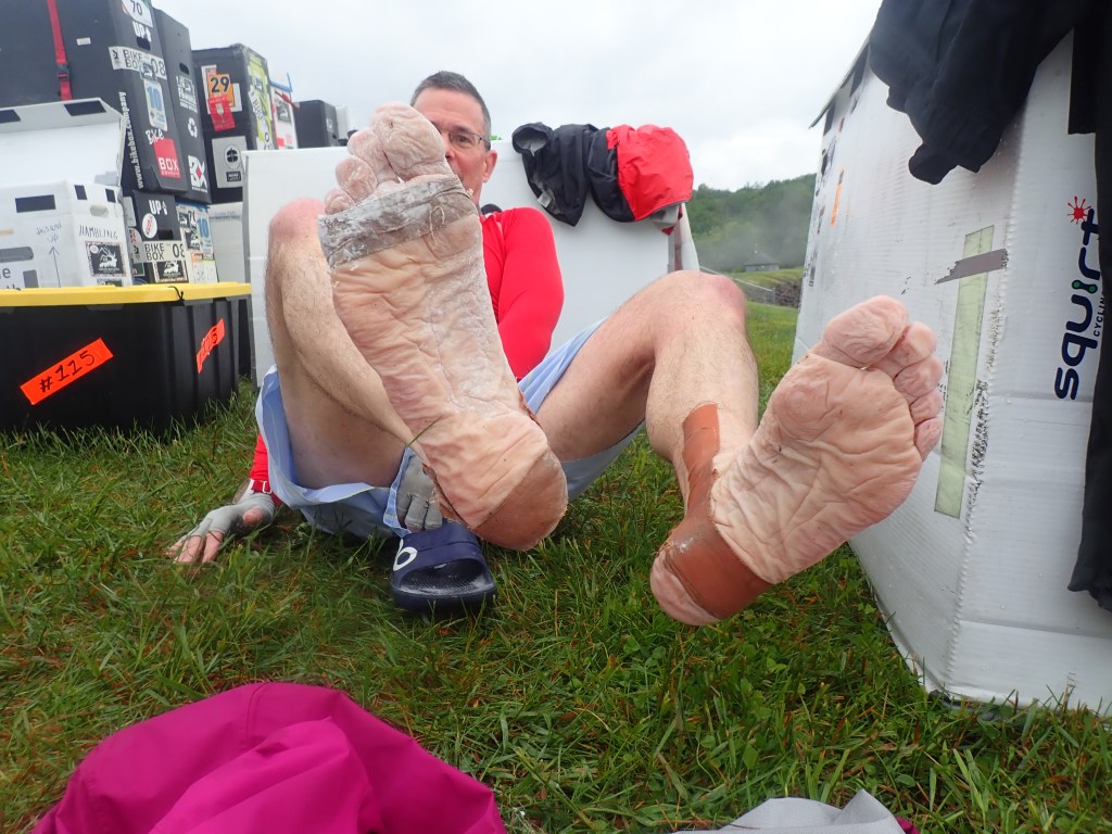
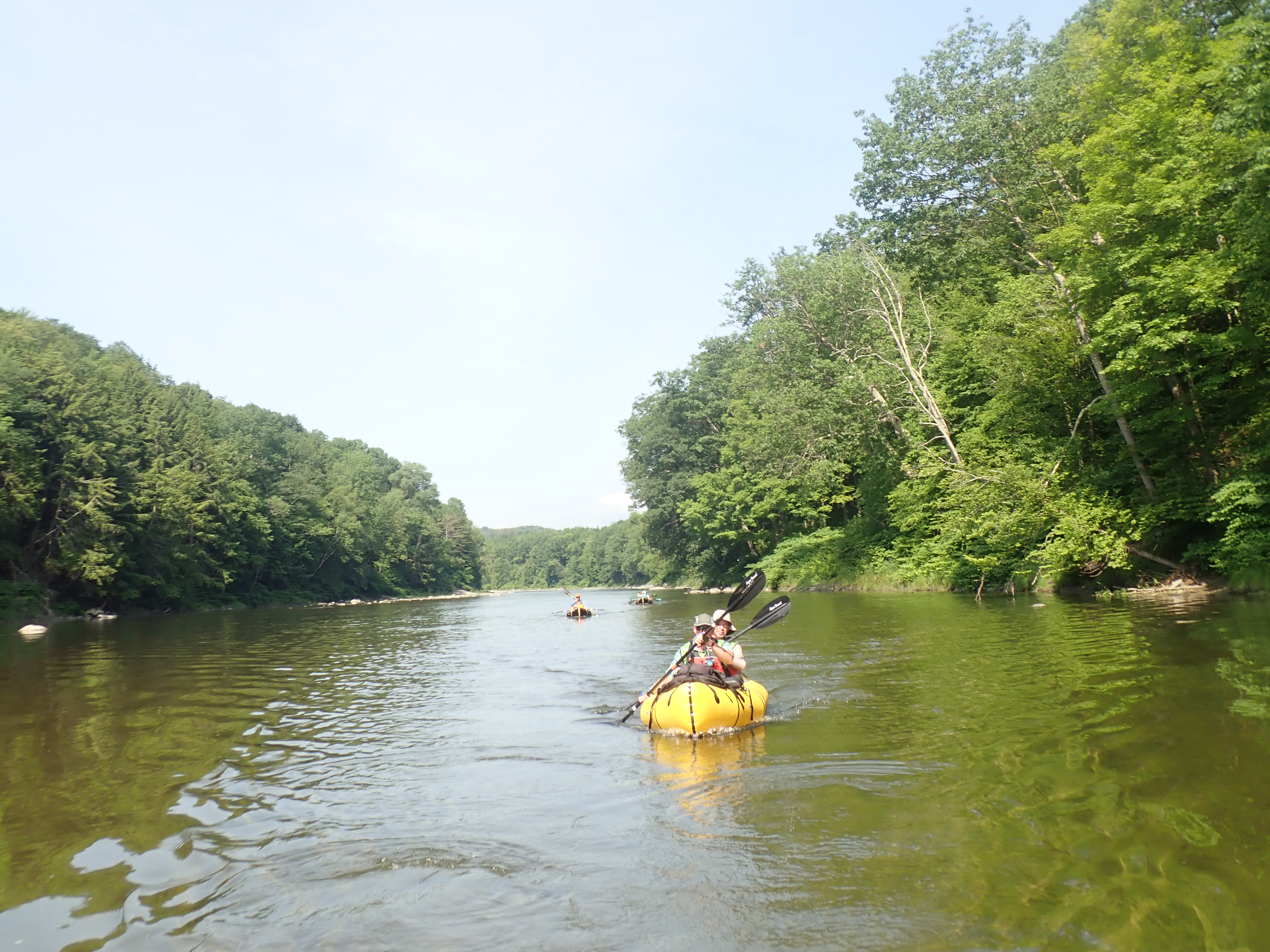
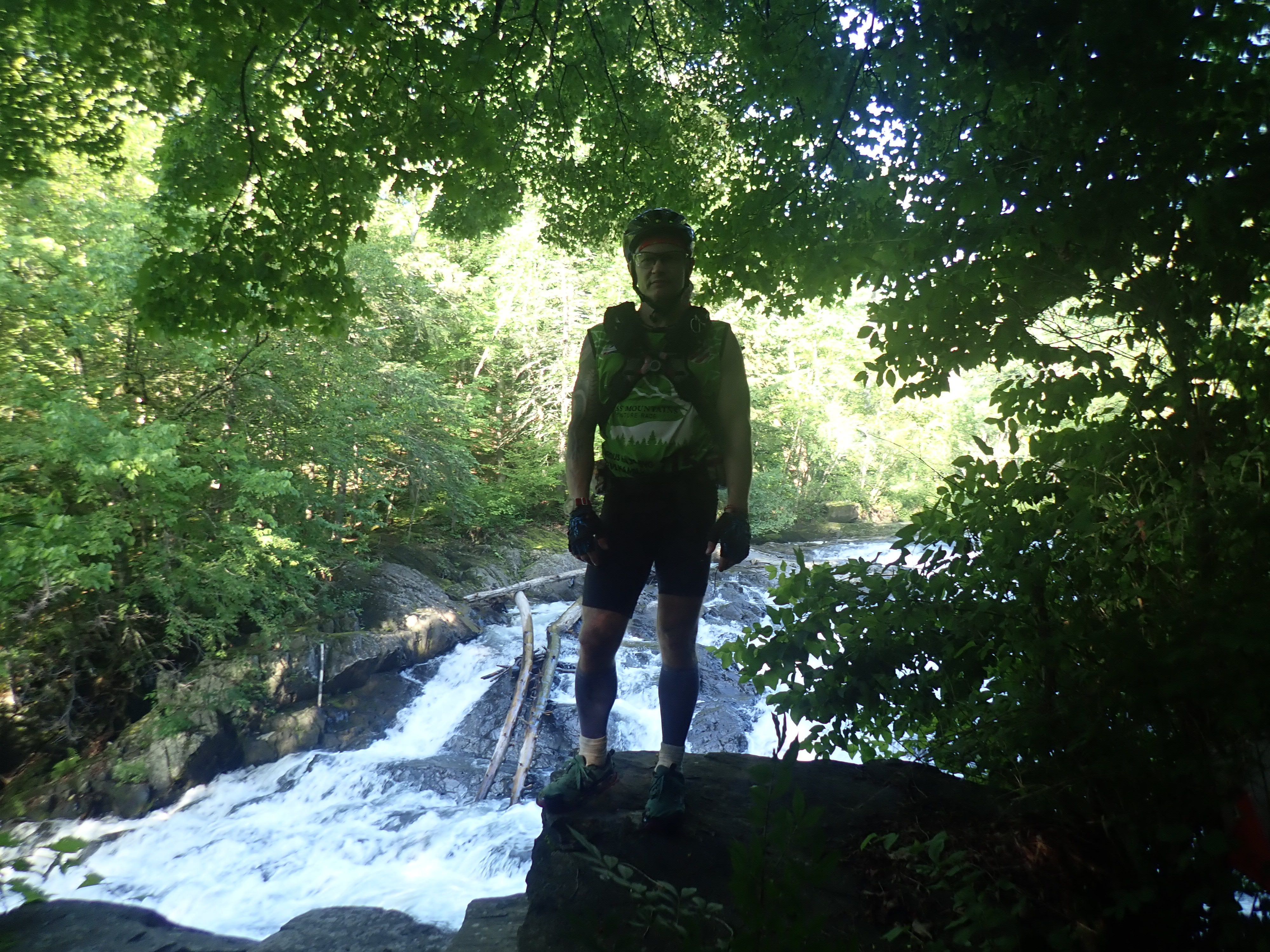
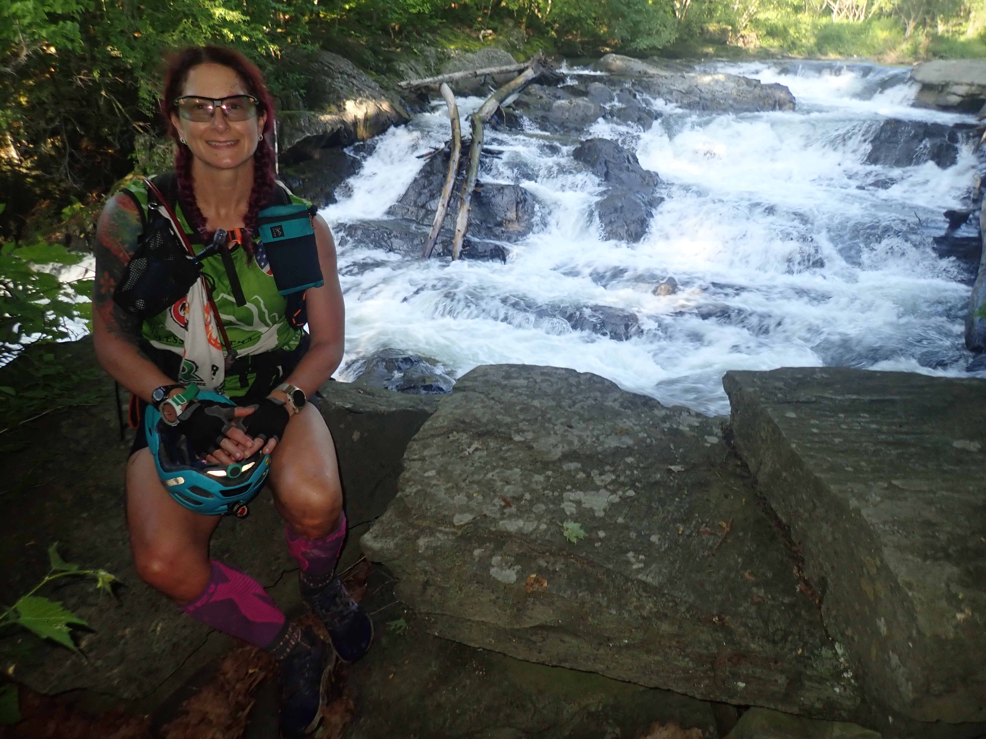
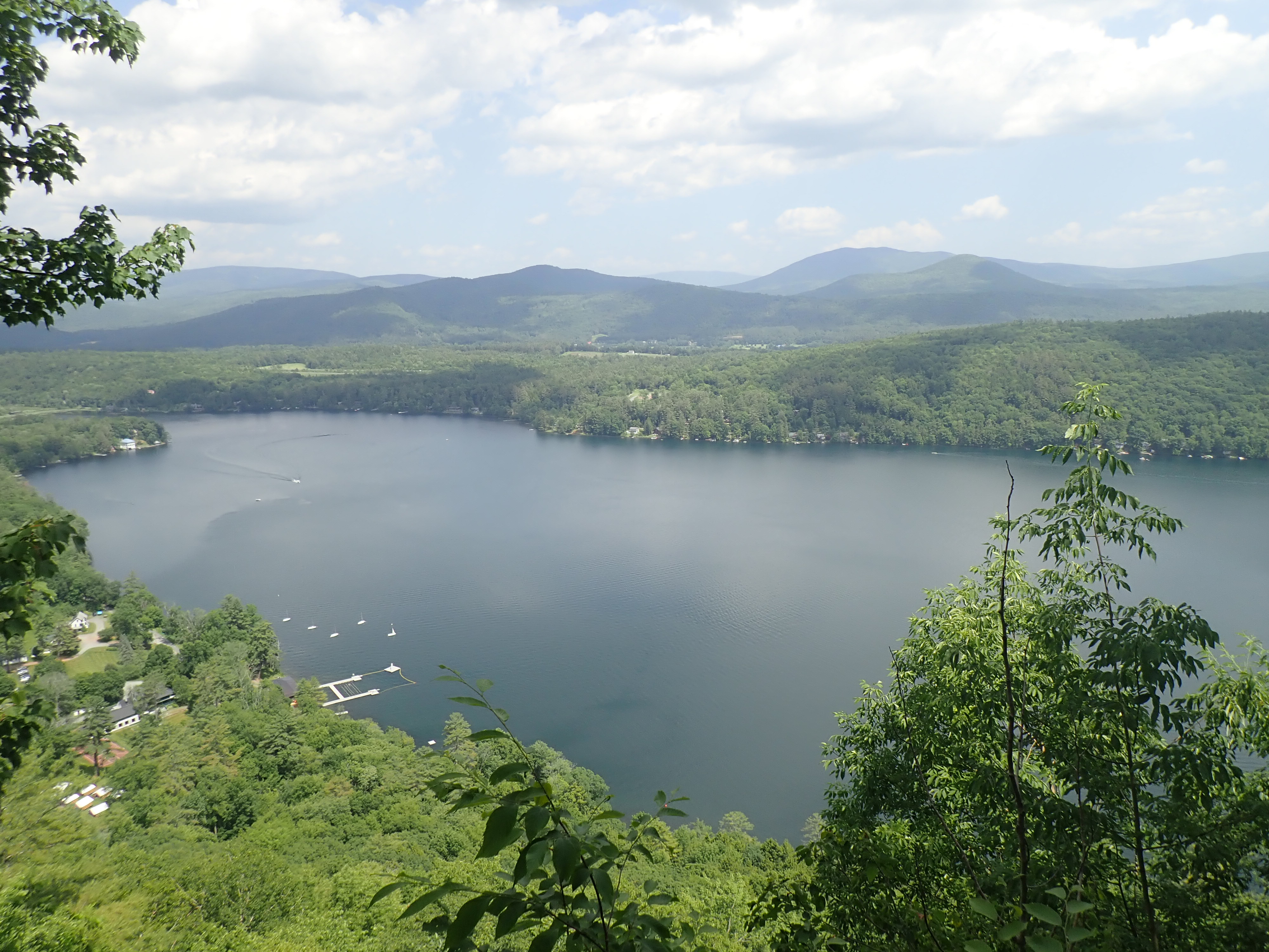
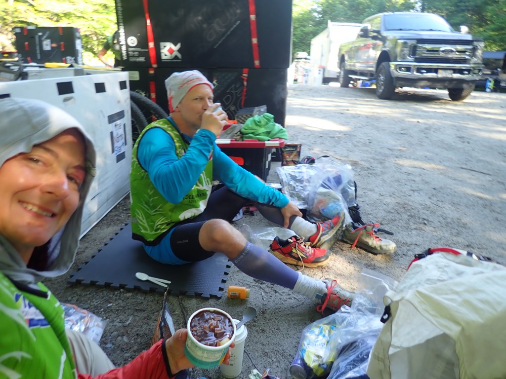
Continuing on, we trekked through the night on and off the Catamount XC ski trail. At some point it started raining but given how warm it was I don’t remember it being a huge issue (writing this over a week later). Once we made it to CP12, we had to grab our packrafts and continue on for another checkpoint as we made our way to the lake. I guess we all assumed that the packraft carry would be similar to other editions of Endless but this time it was a 3 mile carry! Most (maybe all??) teams elected to just grab the paddle bags and carry them between people, or huck them on the shoulders of a teammate. This made for a slow slog around the lake, blowing up the gripping muscles ahead of the paddle. Once we found the lake shore, we dropped the paddle gear and hiked out for another point then returned to lake. It was feeling breezy and chilly at this point but not so bad we wanted to deploy our new tyvek suits so we went with rain gear and under layers. Once on the water it was actually a lot warmer than I anticipated, so we had a pleasant paddle around the lake. CP A13 was a delightful donut stop thanks to the RD’s and volunteers! TA1 was at the top of the dam of the Chittenden Reservoir and by this time, we all need to get our feet dry! Many other racers had way worse feet issues than our team, our strategy of not going for all the optional points early on paid off in having healthier feet!


Stage B – Bike
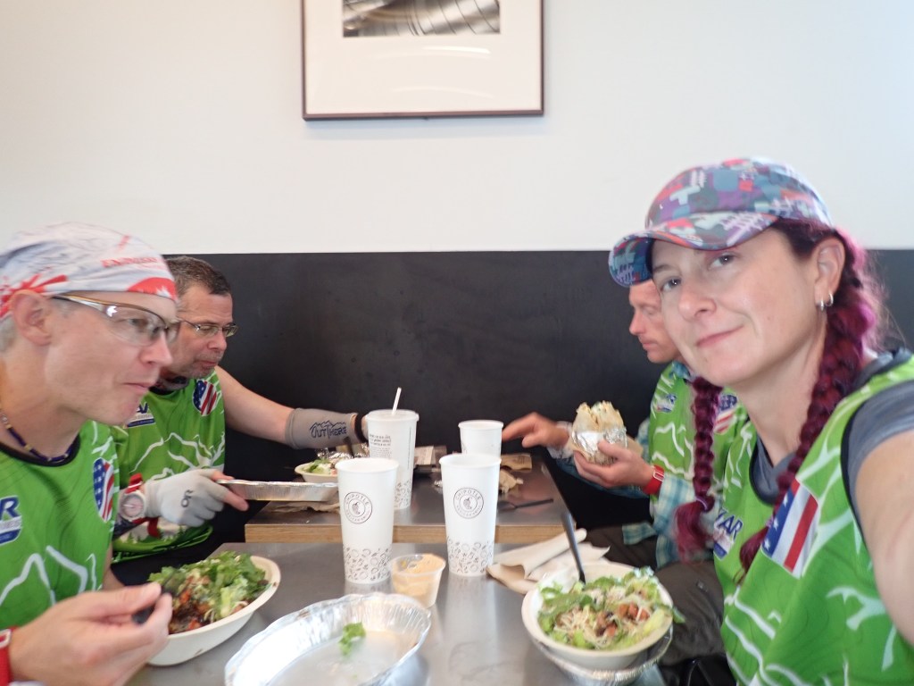
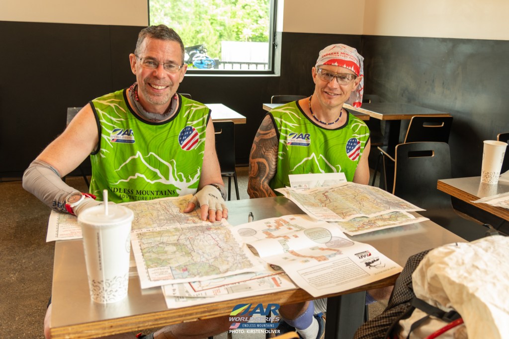
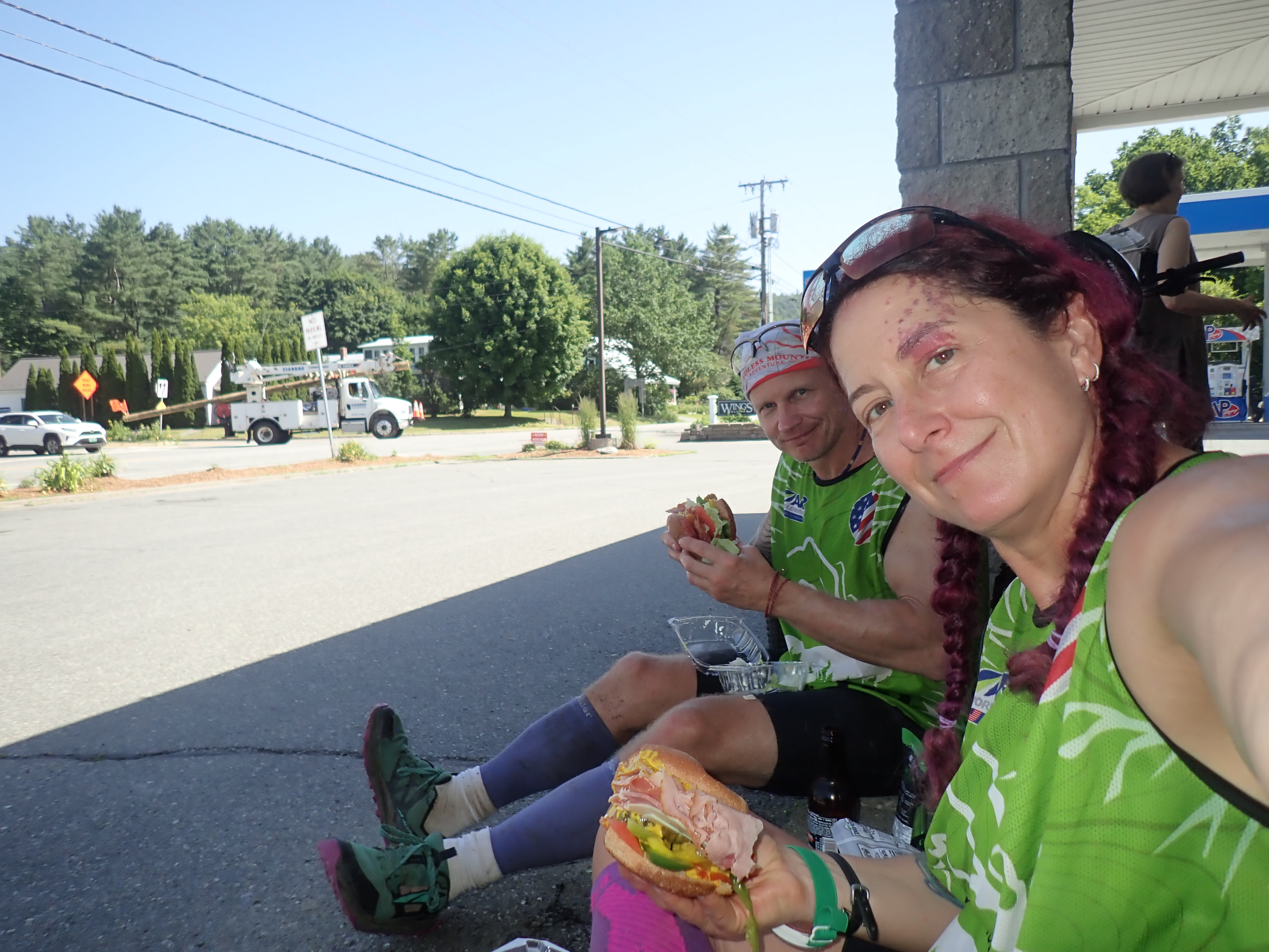
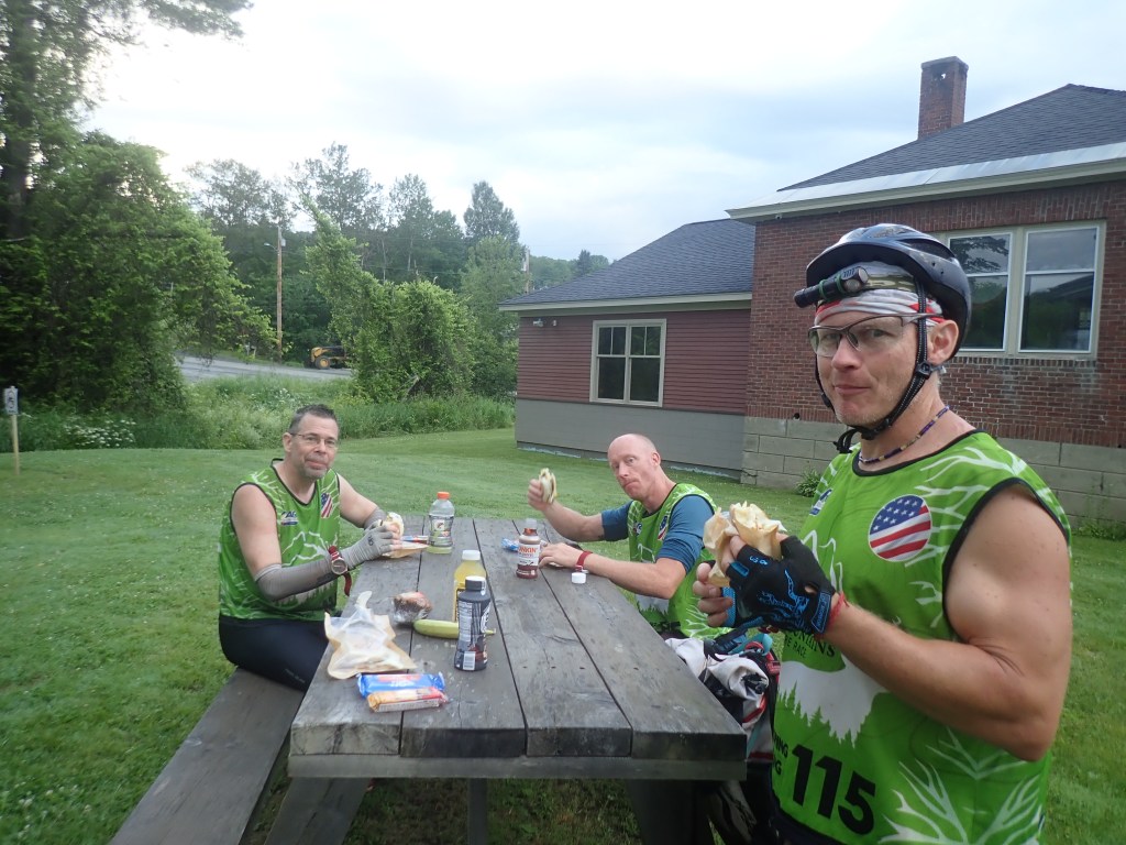
We left TA1 with just enough mapping to get us to the nearest town of Rutland. We figured a meal of Chipotle and some quiet mapping time would be better than battling for space on the narrow dam and risking some rain coming in. This turned out to be a good but costly (in time) decision. Comfort slows things down, like the golden rule of never go near the fire at a TA, once we were in Chipotle eating and drinking, we did not move very fast to leave. On the flip side though, this next stage had 10 maps to juggle, so having space to plan was super helpful.
https://rootstockracing.smugmug.com/Endless-Mountains-2025/Kirsten-Oliver
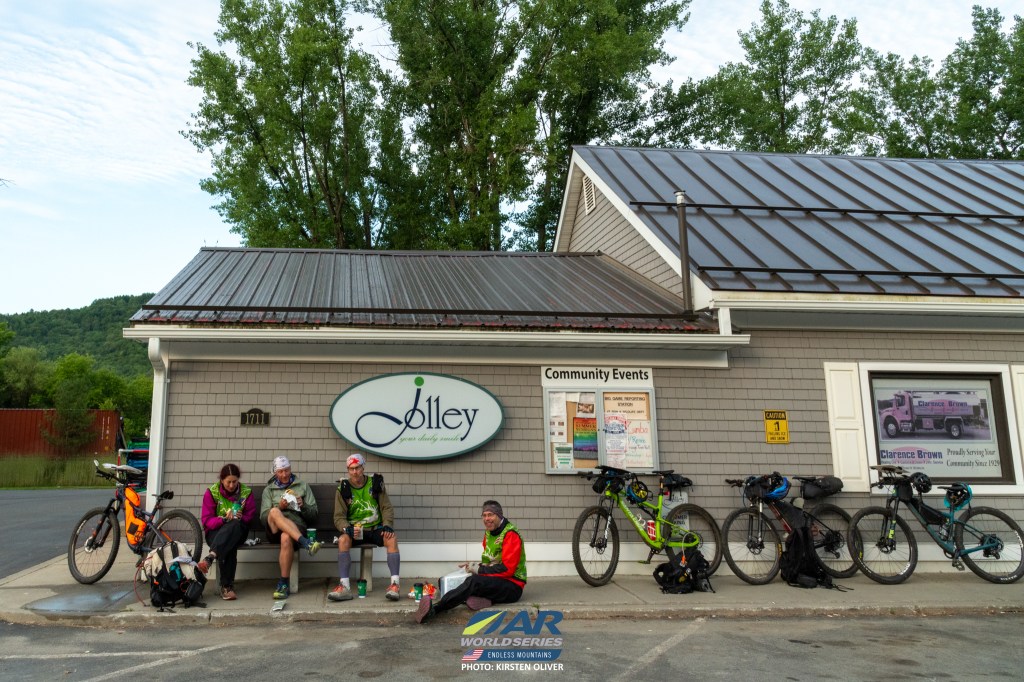
Fully fueled on burritos, we headed to the first of several MTB parks that broke up the road riding on this leg. Of course we blew past the first CP (Tinman) but not by much! Having the clues on the maps is nice but as a not-navigator but a first class reader of things, I’d love to have a master list of the clues. This would have helped several times when Steve was so buried in the map that he hadn’t shared the clue for the next CP. This bike park (Pine Hill) was a fun ride full of ups and downs and tons of mosquitoes! The temperature was creeping up to what felt like 90 degrees but looking at the weather history as I write this, it was only in the low 80s. Super muggy though! We picked up all the mando and optional points for this park then hit the CVS for a water fill before leaving town to short cut up to Killington. This was the stage Brent had highly suggested that teams not aiming to clear the whole course start cutting back on optional points. While I’m sure Shrewsbury peak had magnificent views, I’ll just have to go back and hike it some other time! We had an 11 mile road ride, gaining 1500’ in around 9 miles. We came to the next bike park (https://www.trailforks.com/region/sherburne-trails-19491/) in the early evening on Sunday. There were 4 optional points and no mandatory ones, but having skipped the Shrewsbury area, we felt we had time to pick up some quick points. We did get them but they were not quick! One small mechanical issue when Shawn’s chain broke, which he quickly fixed! I really need to take a bike repair course somewhere because while I carry the quick link and spare derailleur hanger, I have no idea what to do with them!
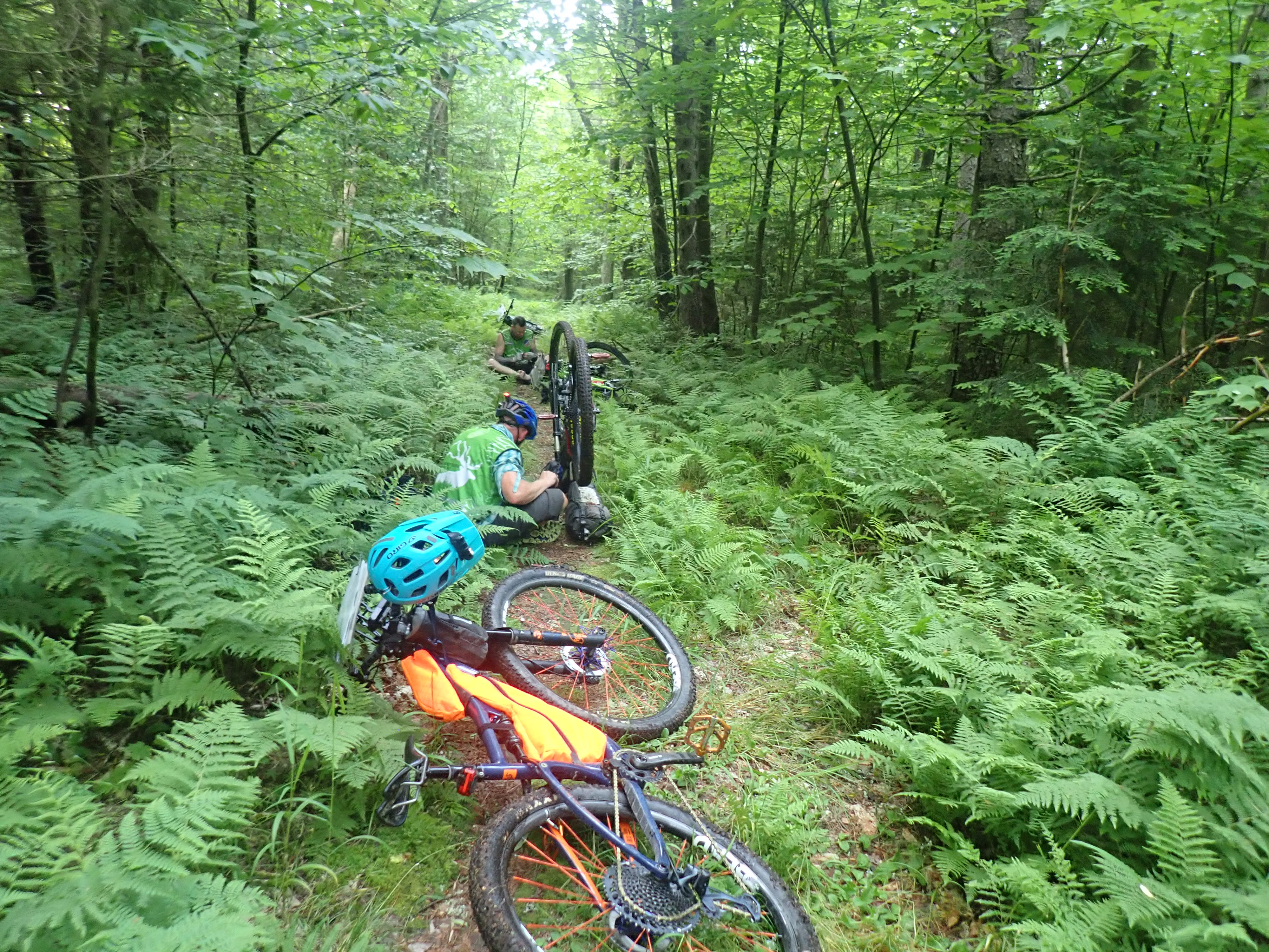

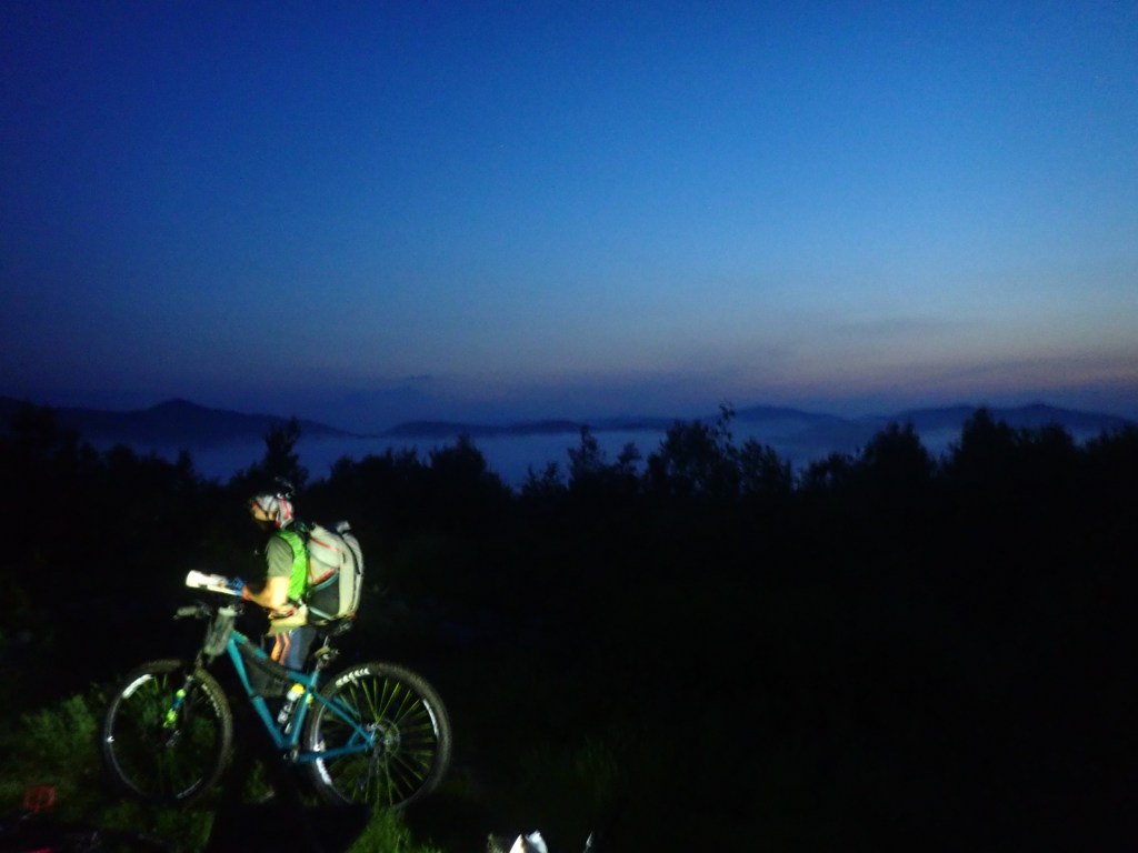
At some point in this park I overheated pretty bad, felt like a flash fever with floaty brain and not great reflexes, slowing me down to walking over some of the stuff I could have ridden. We did get some great practice on one trail since we rode/walked it four times to get the checkpoint! We left the park and had a short roadside break to stare at the stars before pushing on to the next park. We arrived at the Green Mtn Trails (https://www.trailforks.com/region/green-mountain-trails/) around 1 am and decided it was in our best interest to have our first sleep since more technical trails didn’t sound like a good idea while fighting sleep monsters. We saw a couple other teams doing the same thing at the trailhead, so we quietly bedded down for a lovely 2.5 hr nap! We woke up refreshed and ready to tackle the trails. I think this park would be a really fun one with a fresh brain and set of legs, lots of switchbacks and berms to practice my skills on, but not during a race! We made our way around, sometimes pushing the bikes, sometimes riding. We did ride right past on CP in our haste but after searching in the wrong spot, found it on our way out. After this park we had a lovely downhill cruise to TA2 in a shaded park.


Stage C – Packraft
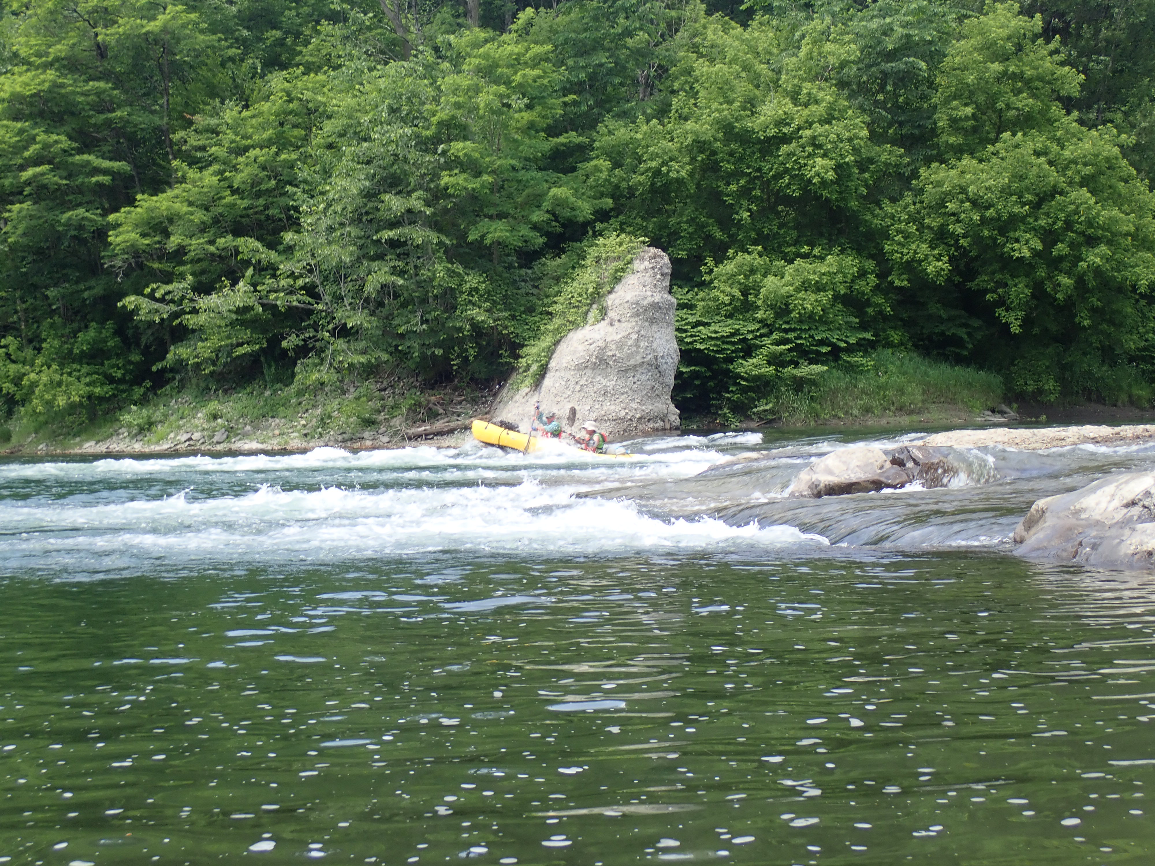
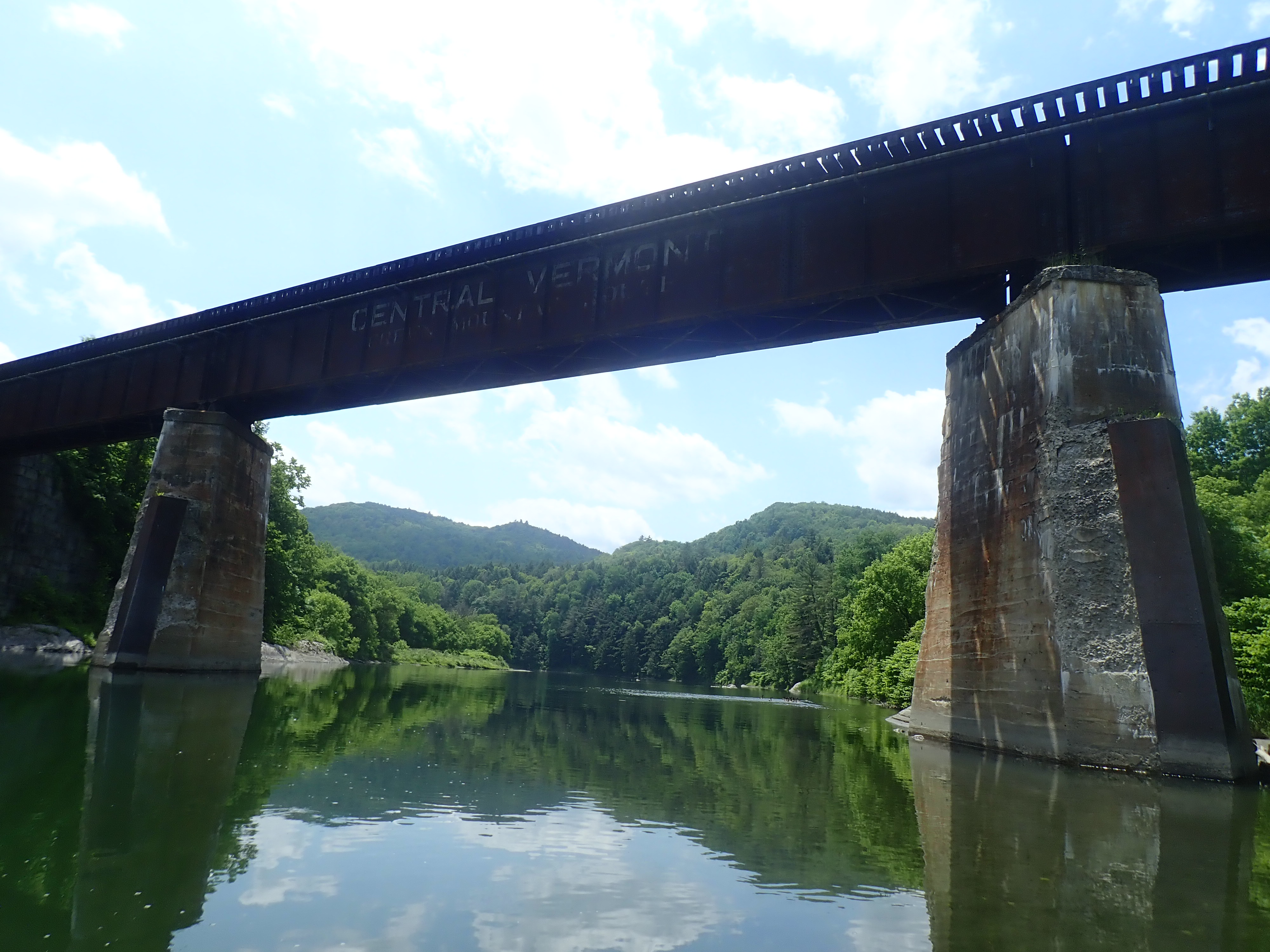
This was one of my highlights of the race! We hit the river around 9:30 am on Monday for a fun, splashy 26 mile ride down the White river. It was one of the hottest days of the race and I was glad to be on the water even though the sun was beating down. I did the river nav so Steve could have a brain break, with Paul on backup. No major issues on this stage other than keeping the brains engaged and the paddles moving! We landed at TA3 in the early afternoon and after a longish stop, were back on the bikes and moving out for Stage D.


Stage D – Bike with embedded FUN!
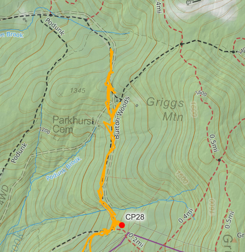
We left TA3 and headed directly into the setting sun, making sure our once river cooled skin was quickly hot again. Once off the main road Steve and Paul had a spaghetti bowl of trails and out of bounds areas to navigate as we made our way to CP28. This was our first major nav issue in the race. After finding CP28, we had to work our way northeast but there was a narrow margin of in bounds trails to use. We met team 207 Raving Mad on their way back from what we assumed was the out of bounds area, they warned us it was a logging area trail hellscape and that they’d wasted too much time out there. Of course we had to check it out ourselves! Looking back at our trace, at one point we were on the correct trail but gave up on it and went back and around to a known safe location.


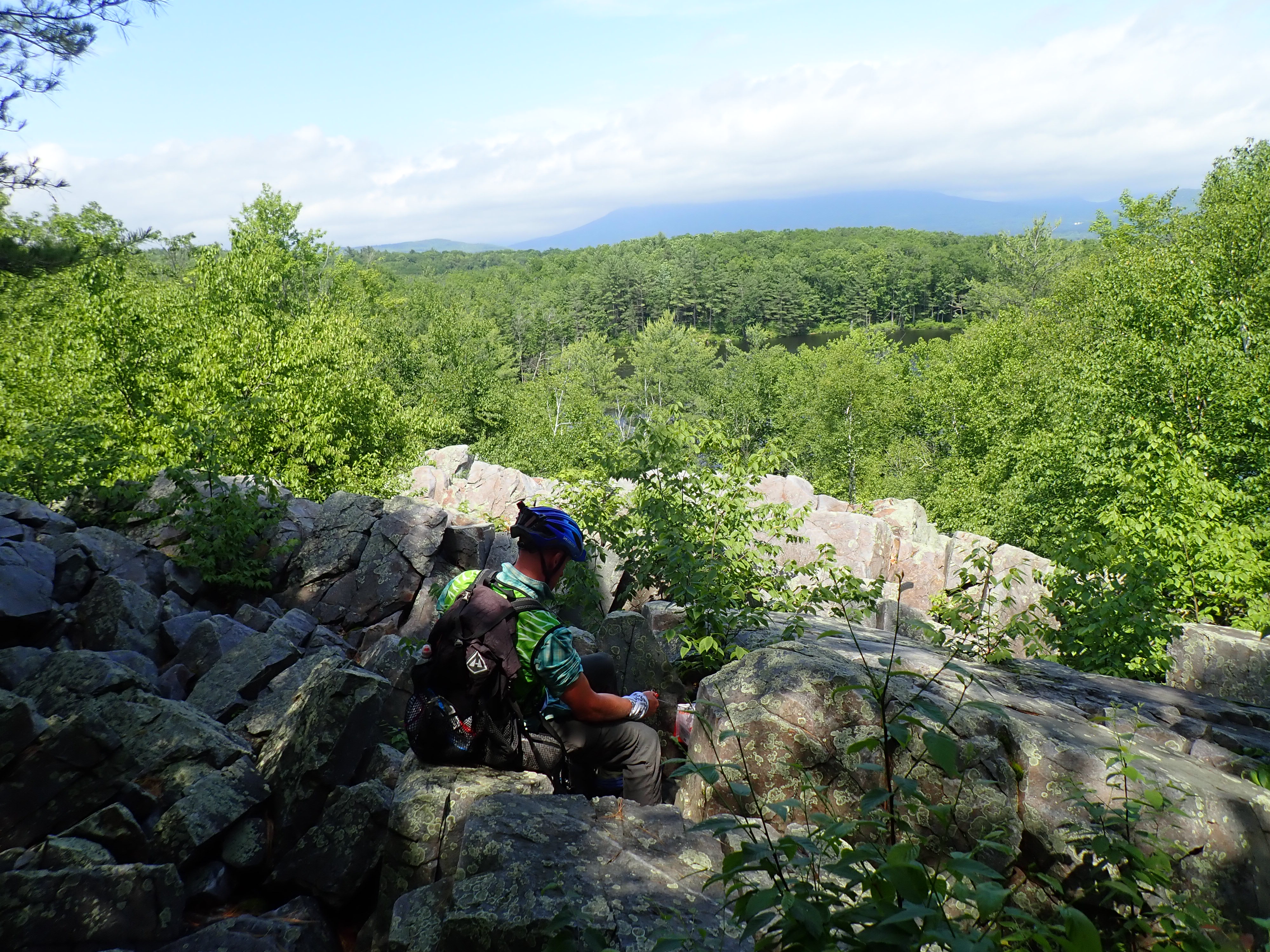
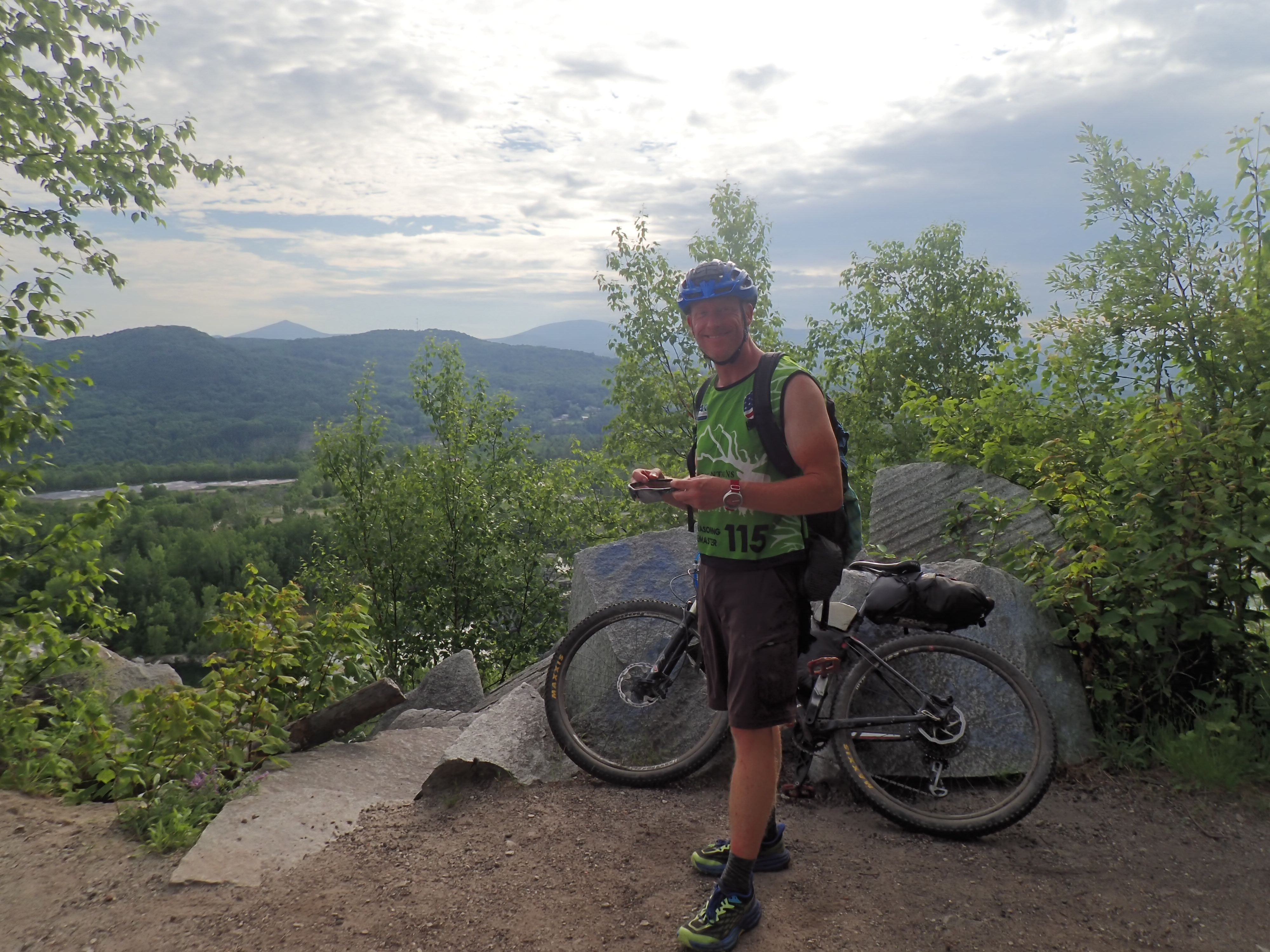
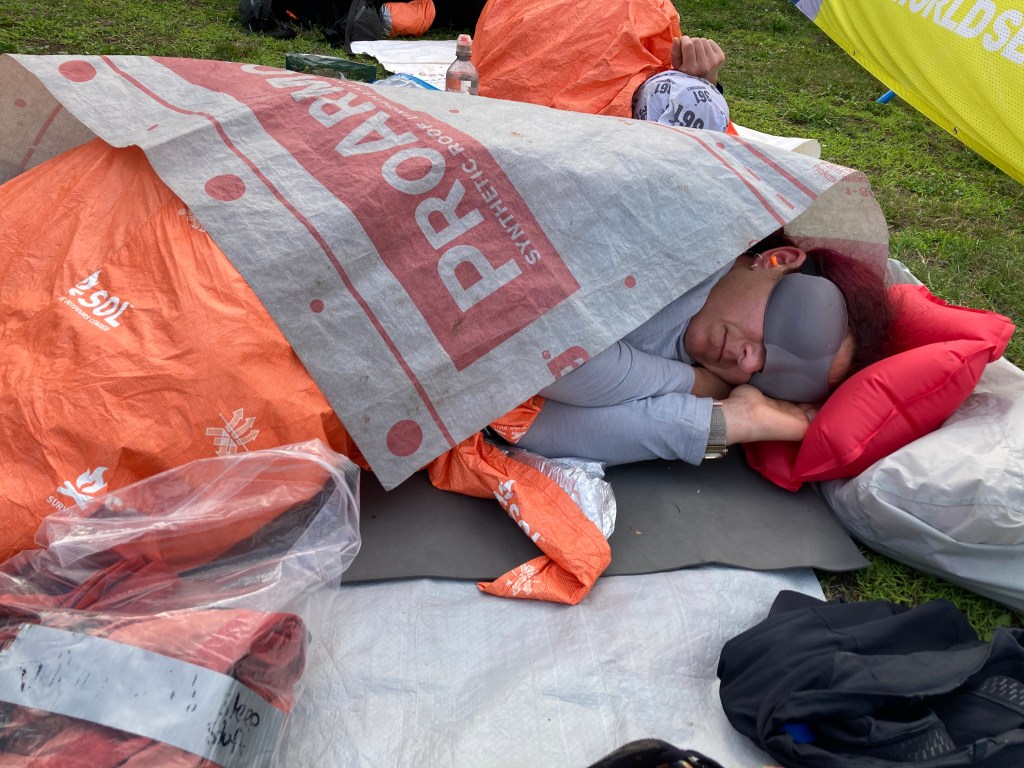
This cost us some time and we were due for another sleep stop. After bagging CP29, we found a spot that was, at best, flat. At worst, it was right next to a pond I assume based on the sound of the bullfrogs. The scheduled 3 hour sleep only netted me about 1.5 hours of fitful rest as I swatted mosquitoes continuously. New team rule, no sleeping where you can hear frogs! We hit the trails and fled the mozzies with the dawn, coming to the really cool old mining CP. We climbed up the ledges and enjoyed the view!


Halfway through this stage we had the embedded fun stuff, plus a fabulous refreshment tent staffed by GMARA volunteers! Smoothies and grilled PB&J sammies, with ice pops and lemonade, it was all amazing! Unfortunately on our way in, we hit a general store and had a big refuel, so we had to enjoy their offerings after the fun stuff (with the exception of the ice pop that I stuck in my sports bra…)

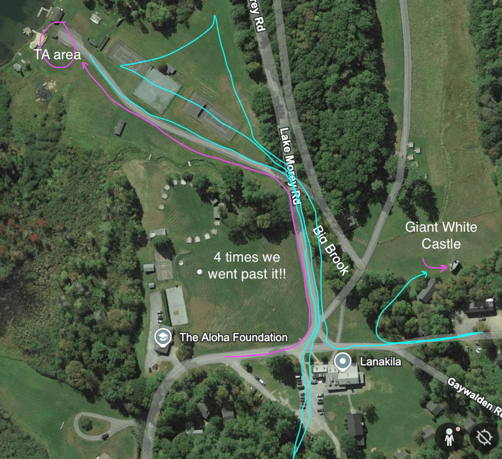
First up for fun was the short memory-O course. We left with the first CP stored in memory and had zero issues for the first three. The one that gave us the most trouble, the one that was the largest structure in the area, was the giant white play castle that we had biked past on the way in, hiked past on the way out, and then passed a 3rd time on the way back in!!
Once done with the memory-O and back on the main map, we hiked up to a couple of beautiful vistas and made our way down to the gorge for the fun canyoneering CP’s. This was another highlight for me! I love a good creek stomp and this one was so refreshing, just had to watch the super slippery rocks and slides. Steve somehow made it all the way down with dry feet, which is super human feat I feel!


Up next was the optional CP 40, the stand up paddle board across the lake. Since we had short coursed early one, we wanted to do the fun things and this was one of them. We hit the beach start with some clouds building on the horizon but quickly set off on the water. About 1/3 of the way across, we saw a huge a lightning strike and recently reminded of the dangers of this by Shawn, we paddled to shore as quickly as we could. As we neared the edge, a man came down from his cottage and waved us over to his dock. At this point the wind and waves were really picking up! He and his wife graciously offered us refuge on their screened in porch, with glasses ice water. Bill and Sue of The Ark on Lake Morey, if you ever read this, thank you so much for your hospitality to four of the smelliest guests I image you’ve ever had! Bill assured us that the storm would blow itself out in about 30 mins and he was exactly right! As we got back on the boards, the sky was clear and sunny and the lake glassy smooth again. We learned back at the TA that 3 other teams were all caught on the lake and found shelter but I think we were the only ones invited to come inside!
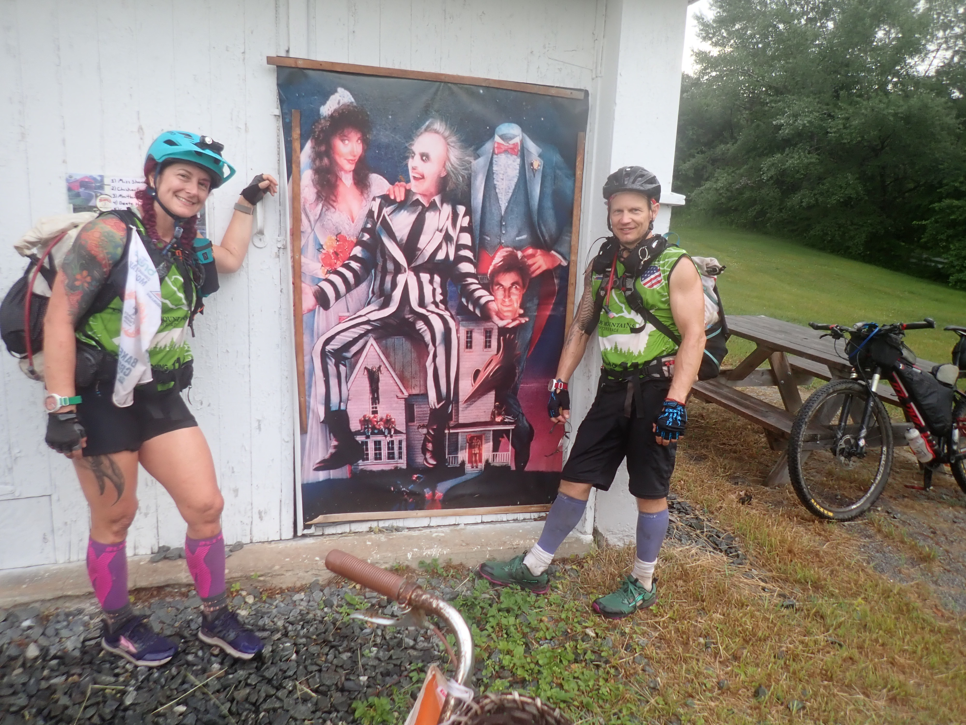
With all the fun behind us and fueled with TA snacks, we left on our bikes once again. CP40 was at the house used in Beetlejuice for Ms. Shannon’s School for Girls and provided a fun diversion as we attempted to recreate the movie poster.


The sun was setting as we left civilization and made our way out of the back roads. Given the cruddy sleep the previous night and the heat of the day, we bedded down earlier than we normally, closer to 10 pm than 3 am. The plan was to sleep 3 hours and then start moving again. I made the mistake of putting in ear plugs and Paul might have skipped a step in setting his alarm, but we ended up oversleeping a lot! In the end this stop was 6 hrs instead of three but it was the best sleep of the entire week for me. I didn’t know that the Garmin watch sleep time would eventually stop without a button being pushed so that was a good lesson to learn. I also will no longer use earplugs if I’m in charge of the alarm. Well rested, we hit the bikes and cruised our way mostly in the correct direction, finding a gem of a store just was the owner was grilling up fresh breakfast biscuit sandwiches! These hot food stops certainly made the race much more dietary enjoyable!

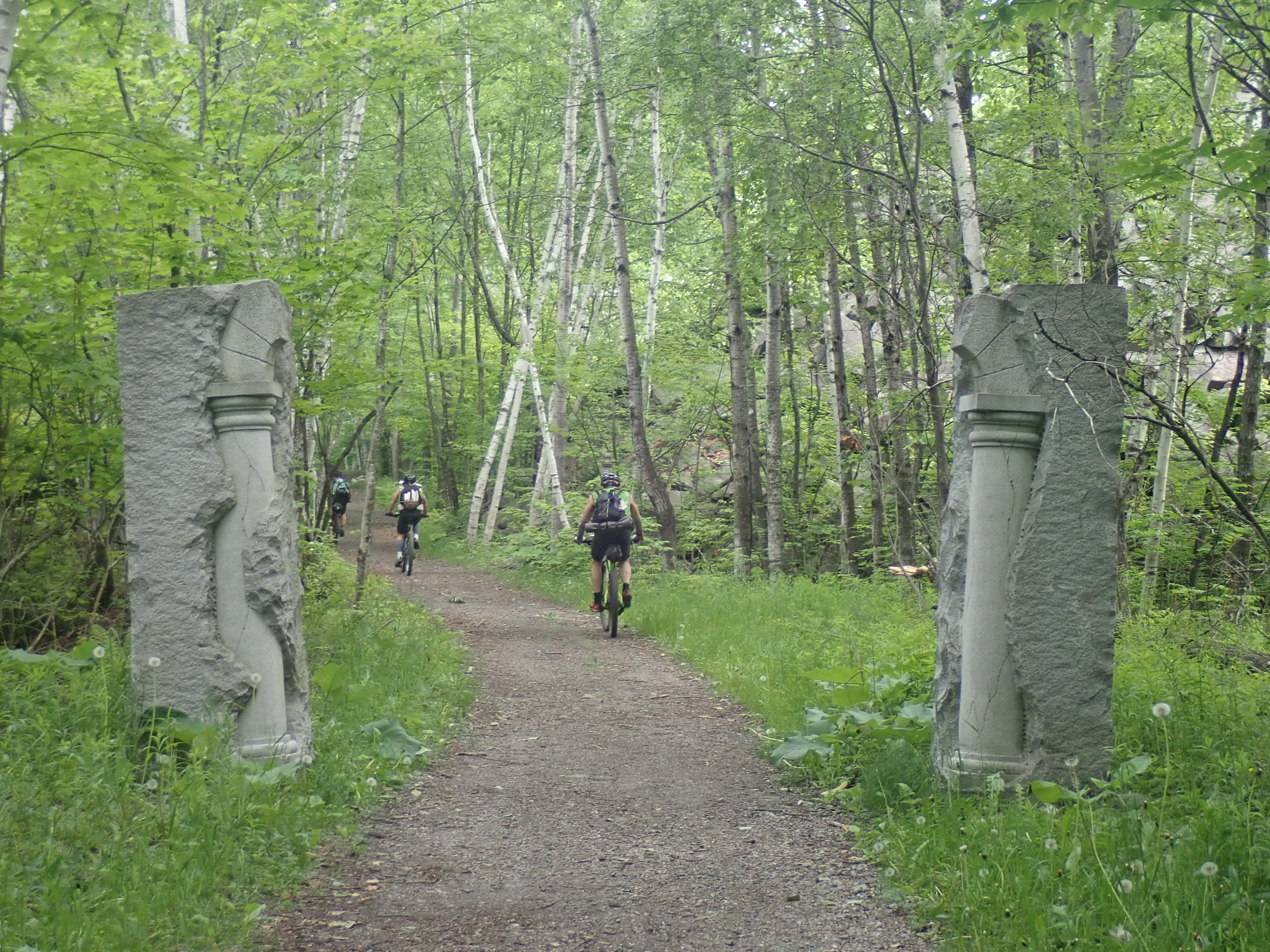
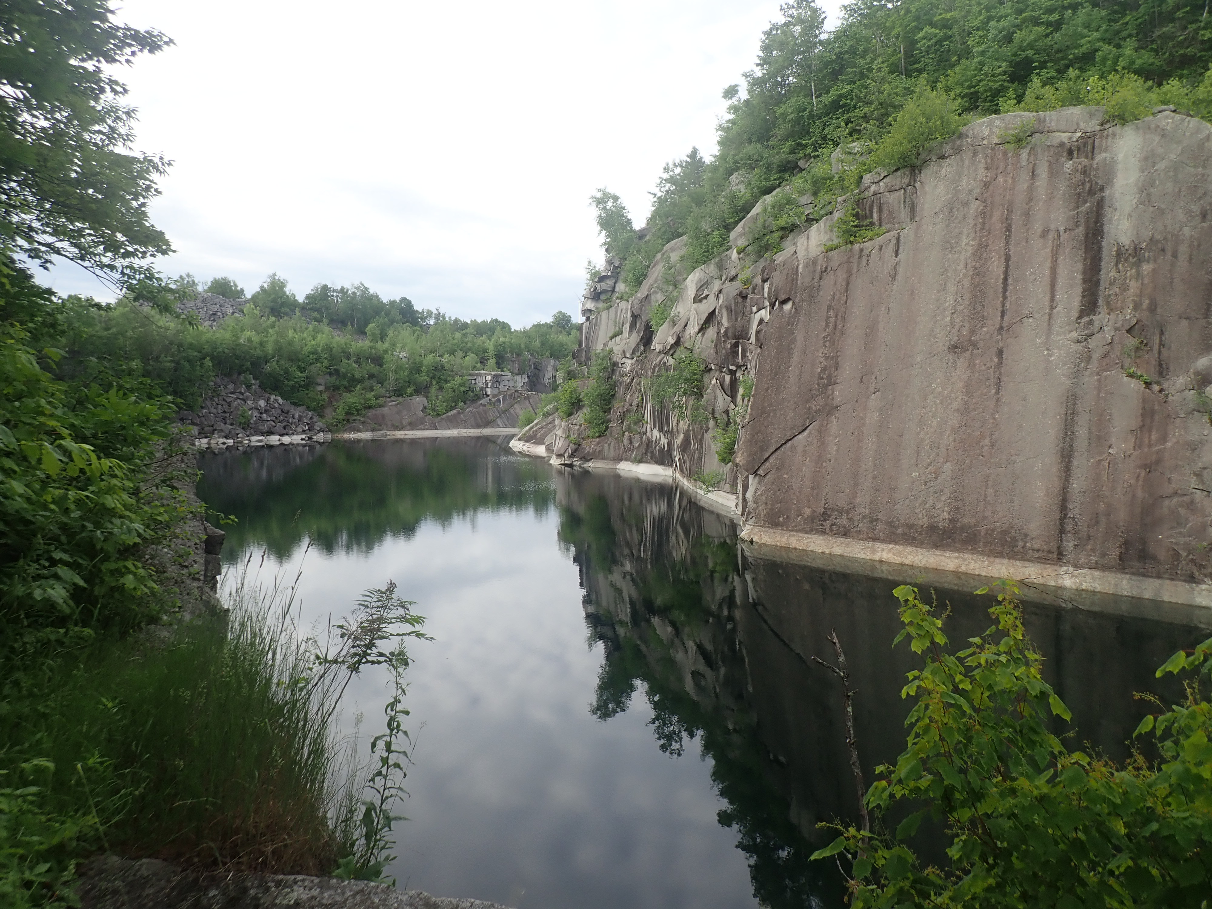
Near the end of this stage we came to another MTB park that was super cool! The Millstone trail system in an old marble quarry had a lot to offer. (https://www.trailforks.com/region/barre/?activitytype=1&z=13.1&lat=44.15171&lon=-72.47362&content=trails,labels,region,poi,directory,polygon,waypoint,nst,routes_featured)

We rolled into TA4 at 10:40 am on Wednesday, four full days into our seven day race!
Stage E – Trek
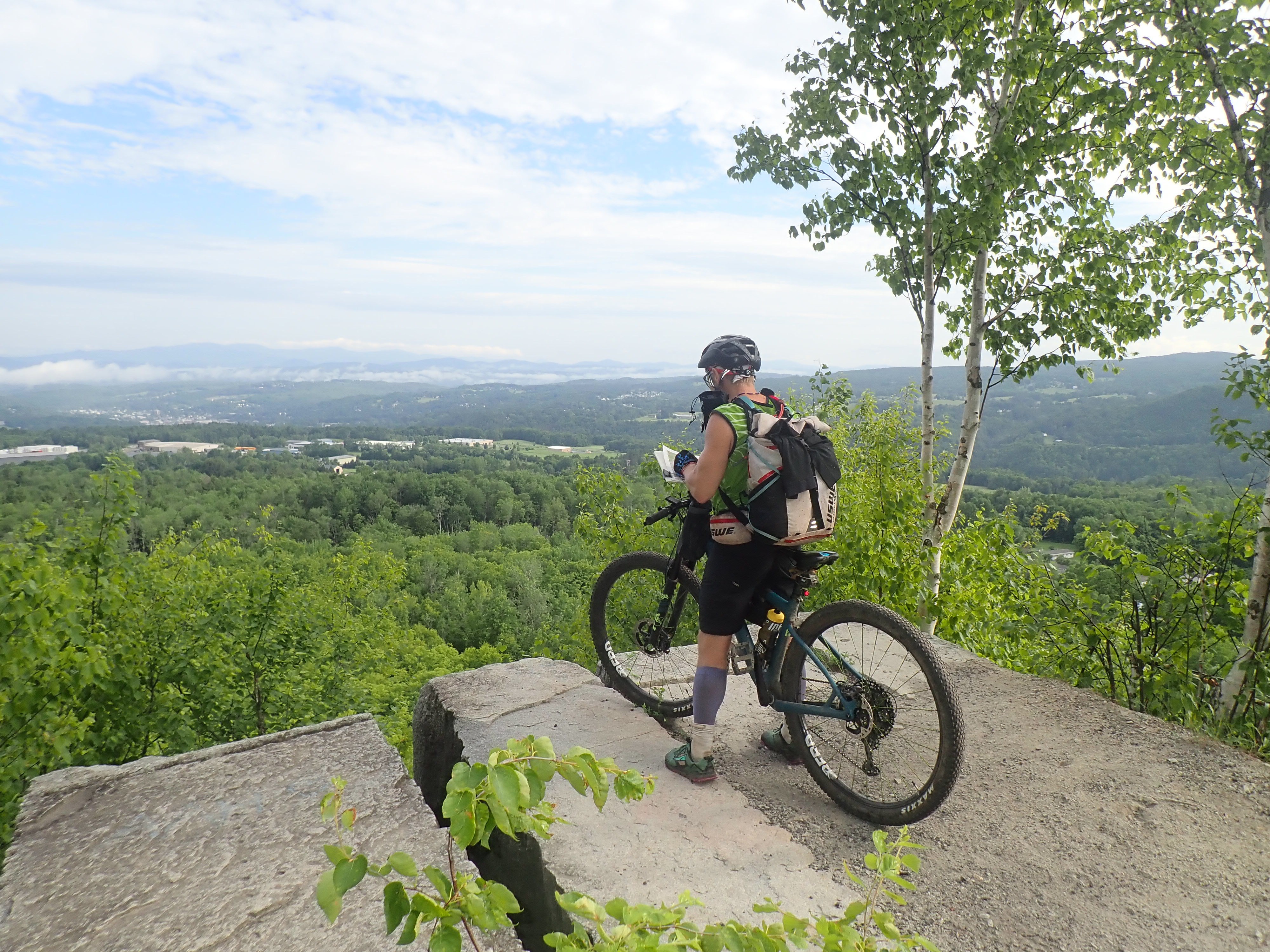
This trek was much shorter than the epic first stage trek, and yet my Garmin logged more miles than the required even though we did the shorter section. This area was through the Groton State Forest and proved to be a beautiful area! We were warned that teams were taking much longer to get through it than expected so we set our sights on the mandatory only points for this stage. First up was the climb to the fire tower which offered great views of the terrain we were going navigate. While the initial plan was to bushwhack, that was quickly overturned once we saw the depth of the shiggy involved! There was no way that a straight line through that was going to be faster than backtracking to a trail! Even with the trails we still somehow managed to fudge around on CP49 for more time than ideal. All told, looks like we spent about 2.5 hrs looking for the point, and our tracker doesn’t even show us getting it! This is why the paper passport is so important, the back areas don’t always allow for a good signal. Once we punched that point, it was back to the trail and settling in for a long night of hiking. I have some bleary memories of really cobbly trails, some missing bridge sections, ascending to Silver ledges, to taking a 30 min ditch nap almost to the TA but with one final CP to get. After our nap, we hiked up Owl’s Head Mtn and proceeded to spend a bit looking for the CP. Back down, we cruised into the TA and scooted off for a 3 hr nap before getting back on the bikes. Oh, and thanks Bones (?? I think) for the ice cream for breakfast!


Stages F, G, and H(A)
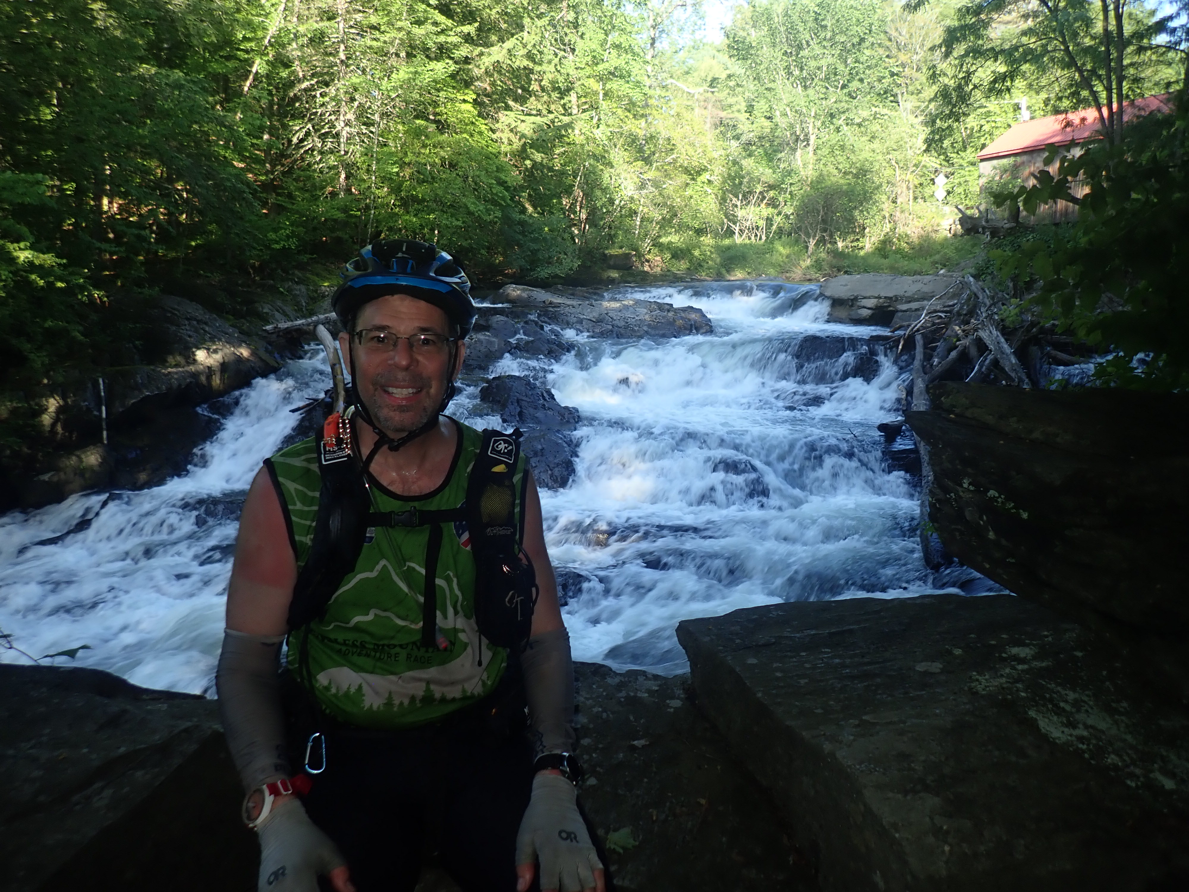
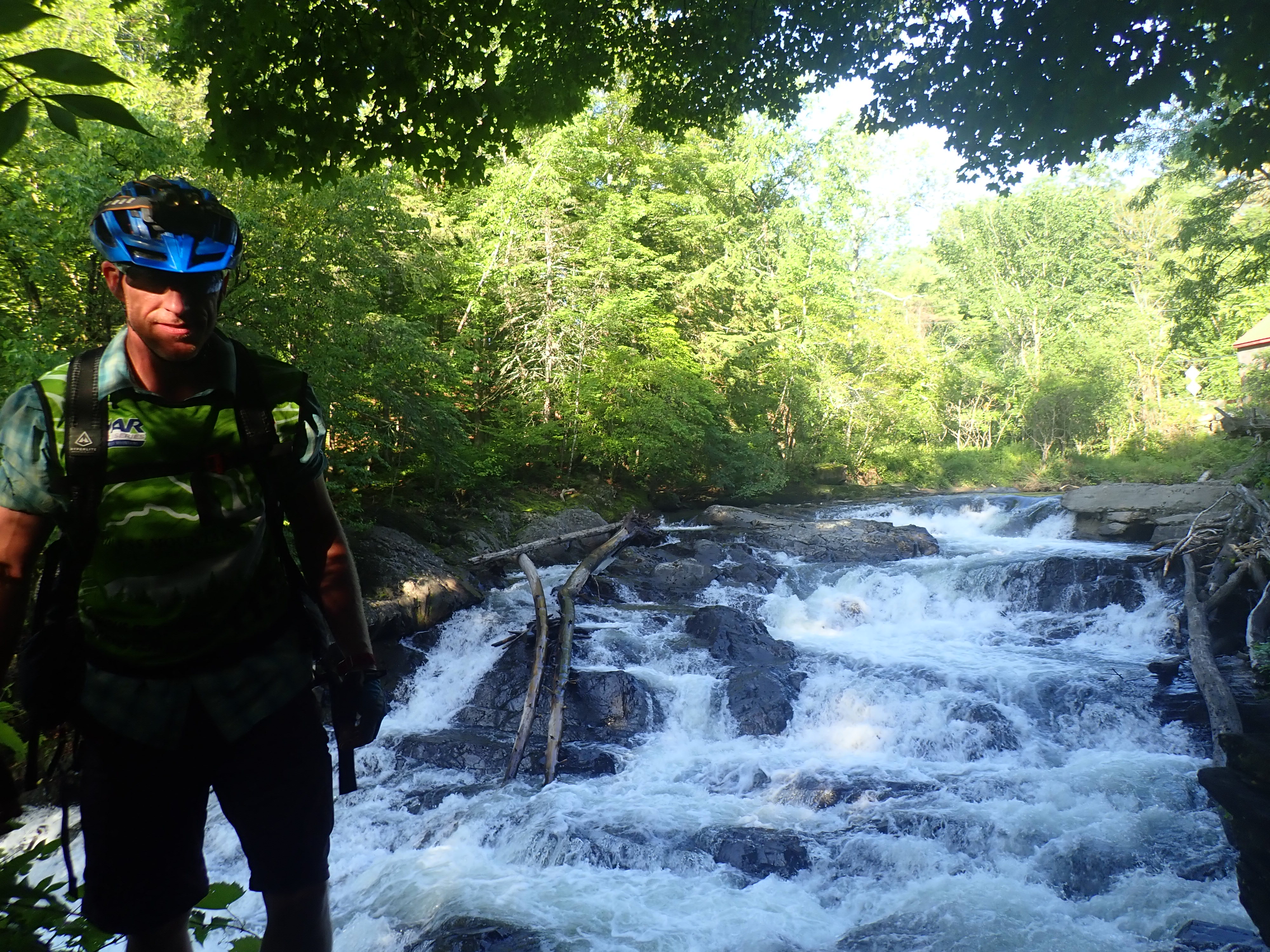
Hang on friends, here is were everything gets a bit messy. Stage F was supposed to be a long bike broken up with the team O-relay first and then a later trek stage before ending at TA6 to start the epic paddle stage. I can’t recall when we first learned that the Jay’s Peak trek was now completely optional (before there was one mando point) and that the packraft part of Stage G was completely cancelled so we needed to ride to a new TA6 while passing thru old TA6 for a checkpoint. What resulted was me riding my first 100+ mile bike ride. Not sure it counts as a Century ride since we stopped during the leg for 6 hrs to do the team O-relay but it still adds up to some mega miles! On our way to the O-relay we found a nice waterfall and the training camp for the Circus Smirkus! https://www.smirkus.org/ If we end up back in VT, I totally want to go to the circus.


Once at the relay grounds, we learned we had to either clear all the courses or stay there for 6 hrs, which ever came first. Originally it was worth 4 mandatory points, one for each relay leg cleared, but whichever courses were not cleared by the 6 hr mark became optional. Not sure how that changes the scoring as there is now a floating number of mandatory points but in the end it won’t change the podium! We thought we had a good strategy, sending Steve out first on the long bike since that map would show most of the course and he could offer advice to the rest of us. That leg took him a lot longer that expected. While Steve was out biking, the rest of us hunkered down for naps. I was supposed to to go out next but with the sun setting and me being the least navvy of us, Shawn opted to let me sleep and he went out on the short trek. Once Shawn came back we only had like 45 mins left on the clock so we got ready to go, leaving 2 courses out there but most of us being well rested. In hindsight, we should have just sent Steve on the short bike then he could have rested as well.

As we made our way down the mountain we felt cold for the first time in the race! Cold, like shivering cold, like put on all your layers cold. This coupled with the lack of sleep for Steve, who also had a stomach thing going on, slowed our pace when viewed from the outside. Inside, we still felt like we were moving along well. Shawn, being more aware and awake, took note of the fact that Steve was traveling more zig zag than straight down the road and mumbling about how much he loved trail side?? Paul and I weren’t biking that much better. Shawn called it and in his words “put his drunk cousins to bed”. Once snuggled in and covered with a space blanket and tyvek, those 30 mins felt magical! Back on the bikes we were treated with a beautiful sunrise and most wonderful of all, another hot breakfast sandwich!!


We rolled into the new TA6 around 9:45 am and were met with, for me at the moment, the low point of the race. We learned there was now a 10 am cutoff to transition to the canoes for the boat section of stage G. This was put in place do to the incoming wind and weather expected later in the day. Knowing we could in no way make the cutoff (had to break down bikes and box them, plus grab fuel for boating), we dejectedly sat around the tarp and mapped the never ending bike that would eventually see us close the finish. This also gave us a new finish time, we had to be back at the finish line by 2am, so we only had 14 hours of racing left. What is really kinda funny is that when we were leaving TA5, Shawn and I had one last look over the addendums and asked Brent if he thought we were ok or if we should be worried. There was one more bike park with all optional points and Brent rattled off times and things so fast, basically saying we should try for all the points there and we only had one TA left anyway. Somehow he saw the future because in truth, at that point, we had two TA’s left! In reality though, with the boat cutoff, we did only have one TA left in the race.
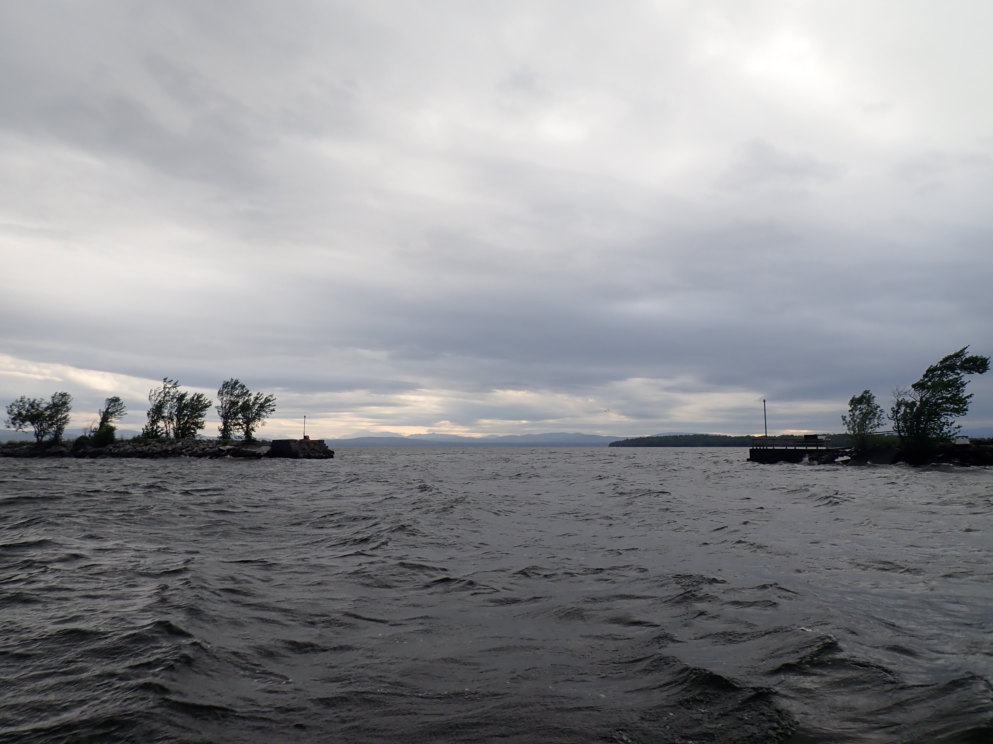
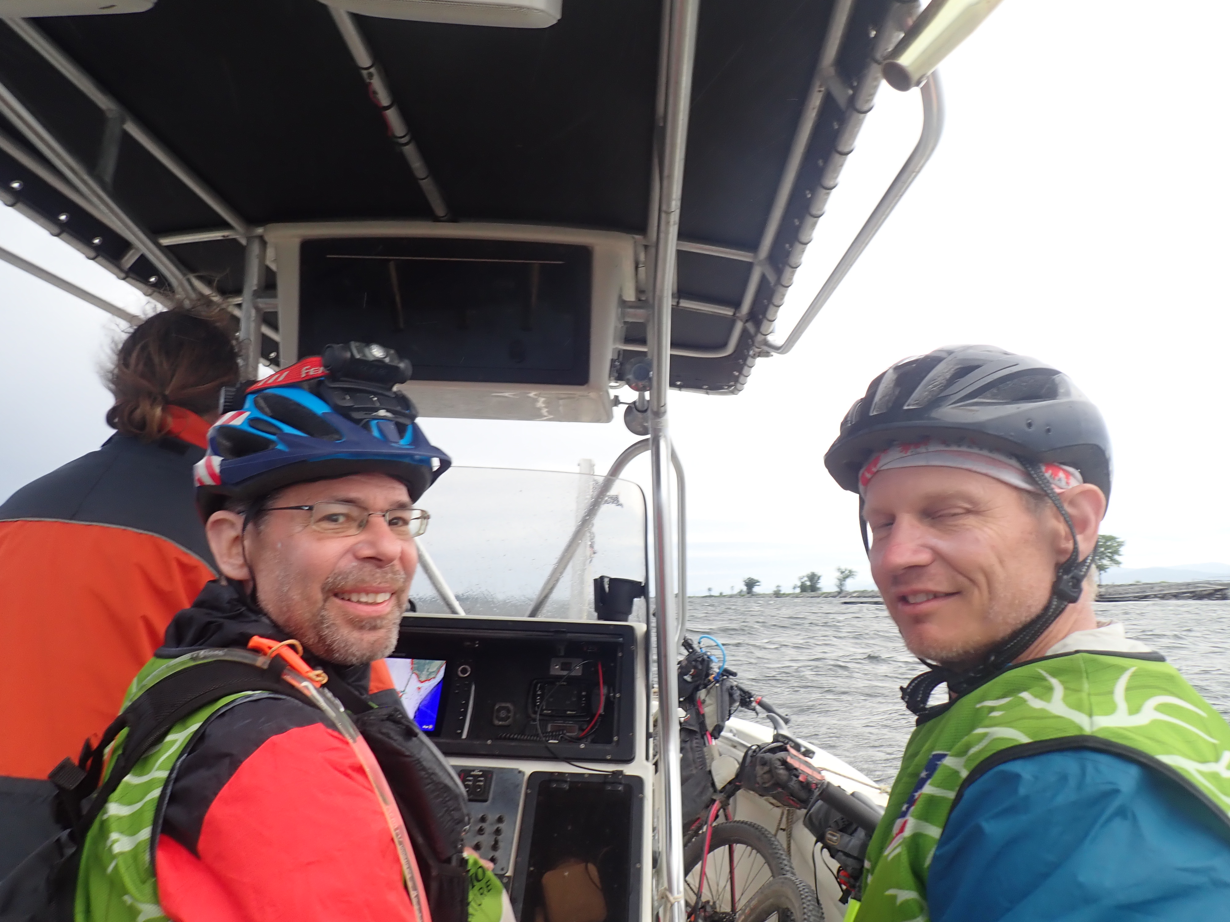
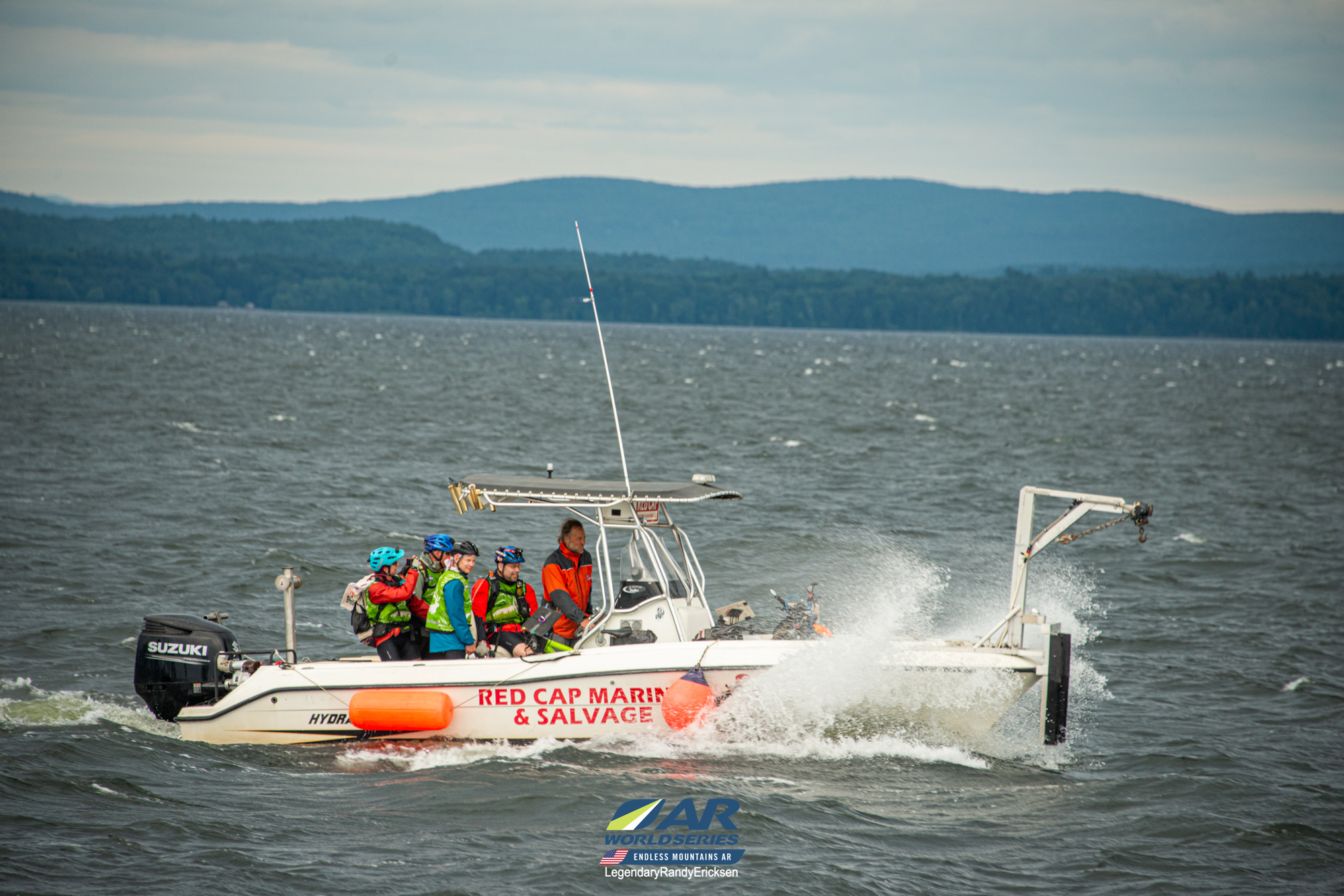
We left TA6 and started the bike through the Hero islands. I’ll admit that this part of the race was my least favorite. It was on fast, heavy traffic roads, and on bikes. I’m am grateful that Vermont drivers for the most part are very careful when passing bikers! I would never in a million years ride a road like this in Indiana. We embraced the suck and made it to the more sheltered from cars part of the islands. As we biked around we saw that the weather was really picking up and the waves were increasing. As we came to the end of South Hero and CP67, we were treated to a load of wind and kite surfers playing in the waves and I was super grateful to NOT be in a boat at this point. My gratitude continually rose as the weather deteriorated and I finally made peace with my bike seat. The high point of this stage was the bike ferry. I was afraid to hope because the way the day was going I feared we get there and it would be canceled due to weather and we’d add more bike miles. Luckily, Captain Wick was there and willing to make the short voyage across the Cut. We had been calling him Kevin for so long during the race (not sure where that came from) that remembering to call him Wick took some effort. Super chill guy who got us across the causeway cut quick and easy! After that is was super windy ride to the bike drop. Shawn got all the resistance training as he was the lead bike, breaking trail for the rest of us! We rolled into the bike drop at 8:40 pm on Friday evening, more that ready to leave our bikes behind!


Brent had warned everyone that the final trek was not just a simple stroll through town to get to the finish line (is it really ever that simple though??), the first Endless had many teams scrambling for that last mandatory CP just before the finish cut off! We set off from the bike drop and cruised around, picking up the first six points in a mostly wooded/park area. We had one main map that was a re-print of the original ones with the correct clues on it. Paul and I had the old version to help support the nav, and potentially this was an issue. After crossing the river, we instructed on the map to use the stairs on the west side of bridge to descend and access H7. The old map clue for this was graffiti, the new map clue was river walk bench/railing. Steve lost his mind starting here and the rest of us were not much help… His brain jumped from the big map to the inset but did it too soon and we completely walked right by H7 since we never heard the clue! At one point, Steve who is so calm and unflappable, threw the map down and yelled “I need help! I don’t know where I am”! When Paul tried to explain, Steve was like I don’t care, just take me to the next CP. It was a whole thing!
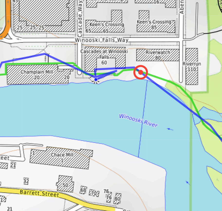
Once we were back on the trail and in the woods, Steve’s brain came back online (poor dude hates city nav with a fiery passion)! This was when we encountered Kevin! Since our boat captain was not named Kevin, someone had to be Kevin for this race. As we were hiking in, some super bright lights were coming out our way and it turned out to be two officers with a guy between them. As we passed, the guy was like “there you are, I’ve been looking everywhere”. We missed our opportunity to respond with “Kevin, where the hell have you been?? And how did you lose your race bib?” I don’t think there are rules that you can’t finish a race with an extra teammate?! Anyway, I hope Kevin didn’t have too bad a night, he seemed mostly harmless. Back on track we had missed H7, H8, and because we had no idea what Coasteer meant, H9 as well. Steve was looking for like a coaster ride thingy since the clues said start of Coasteer and end of coasteer. About halfway between H9 and H10, I realized oooohhh, coasteer, like orienteer, like canyoneer… we are looking for points along the coast! Too late to go back for H9, but we did get H10 on the way out. Paul’s feet were really starting to cause issues after the side hilling over the large rip rap rocks of the coast. Our track shows us picking up all the points because we literally walked past them but in reality we did not get them. Our final one was as we climbed out of the ravine and made our way back to campus. We walked the last few blocks to the finish line and came in around 1am on Saturday. I have no idea where we finished in the pack but for us, that was never the point! When Shawn agreed to join, he said the goal was to walk away happy with smiles on our faces, and we did that in spades! Hey Shawn, one more time, thanks for saying yes!


Link to the wonderful galleries that the race photographers created throughout the race! Thank you Kirsten, Nic, Randy, and the fabulous volunteers for snapping pics to help tell our stories! Biggest shout out and hugs to Abby and Brent for once again putting together a race that provided the balance of challenge and success that keeps me coming back to the sport!
Endless Mountains 2025 Race Stats
Prologue & Stage A Trek and Packraft – 85.96 km, 53.41 mi in 25 hrs
Stage B Bike – 116.7 km, 72.51 mi in 20 hrs 15 mins (2.5 hrs sleep in this)
Stage C Packraft – 42.04 km, 26.12 mi – 6.5 hrs
Stage D Bike – 91.69 km, 56.97 mi – 39 hrs 10 mins (8 hrs stopped for two sleeps) Time includes Memory O, Trek Stage D(A) Memory O and Trek 13.88 km, 8.63 mi and SUP 4.05 km, 2.52 mi
Stage E Trek – 56.21 km, 34.93 mi – 16 hrs 40 mins (30 min ditch nap)
Stage F Bike – 163.42 km, 101.55 mi – 23 hrs 30 mins (O relay 6 hr stop + 30 min ditch nap)
Stage G and H(A) Bike 94.91 km, 58.97 mi – 9.5 hrs
Stage G(B) Trek to Finish – 17.71 km, 11.01 mi – 4 hrs 15 mins
Trek Totals: 53.41 + 8.63 + 34.93 + 11.01 = 107.98 miles
Bike Totals: 72.51 + 56.97 +101.55 + 58.97 = 290 miles
Paddle & SUP: 26.12 + 2.52 = 28.64 miles
Total Mileage: 107.98 + 290 + 28.64 = 426.62 miles
Sleep Stops: (17.5 hrs over 161 hrs of racing)
#1 – 2.5 hrs Trailhead to MTB park
#2 – Trailside past CP 29 – 3 hrs on clock but only slept 1.5 due to bad mosquitos.
#3 – Trailside near end of Stage D, lovely hill, Overslept the 3 hr alarm, got about 5 1/2 hrs sleep
#4 – 30 min ditch nap before going up Owlshead Mtn
#5 – O-relay. Paul and I slept while Steve and Shawn did 2 relay courses. They got maybe 2 hrs each, Paul and I got closer to 4 in segments.
#6 – TA5 slept 3 hrs
#7 – 30 min ditch nap when Shawn put his drunk cousins to bed because we were riding off the road in different directions!
