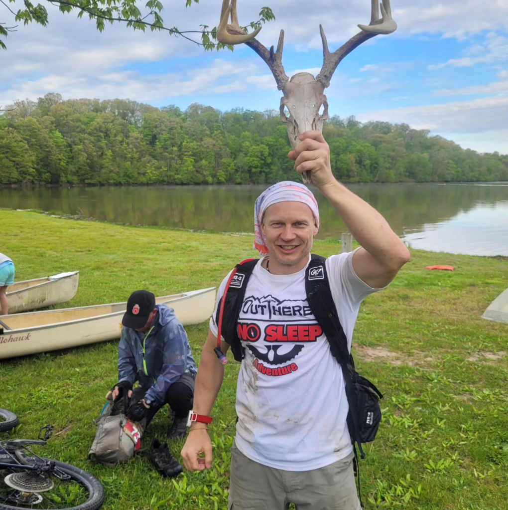
May 6th 2023
We snagged 20 CP’s 17 hr 30 mins
Leg 1 – Bike – 22 km/13.69 mi in 3 hr 8 mins CP’s 1, 2, 3, 4, 5 – all
Leg 2 – Paddle – 6.21 km/3.86 mi in 1 hr 22 mins CP’s 6-9 – all
Leg 3 – Bike – 17.68 km/10.98 mi in 2 hr 30 mins CP’s 10-14 – all
Leg 4 – Trek – 10.99 km/6.83 mi in 2 hr 17 mins
Leg 5 – short hike back to start 1.69 km/1.05 mi 20 mins PLUS 43 mins in TA, then
Trek – 23.94 km/14.87 mi in 6 hr 45 mins CP’s 31-37 we got 32, 33, 34, and 36
I’m always happy when the Chickpoint ladies agree to do a DINO race with me! I love Brian’s race style but that’s because his races are where I cut my teeth. Most other racers seem to like having the entire race info at the start. For those unfamiliar, in a DINO race, you are given the entire map but only the instructions and CP’s for the current segment. You have to complete each segment before moving on or incur a penalty of each missed CP plus one more! At a certain point in the race you are allowed to move on without an additional penalty. While it seems complicated, what I like is it forces teams to experience the full course as much as they can, instead of picking their strengths out and riding them to victory. Anyway, enough on this, let’s talk Mission 2023!
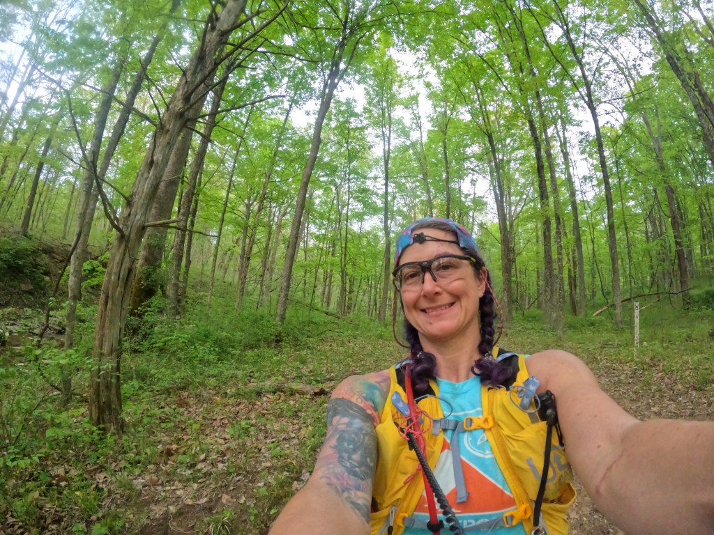
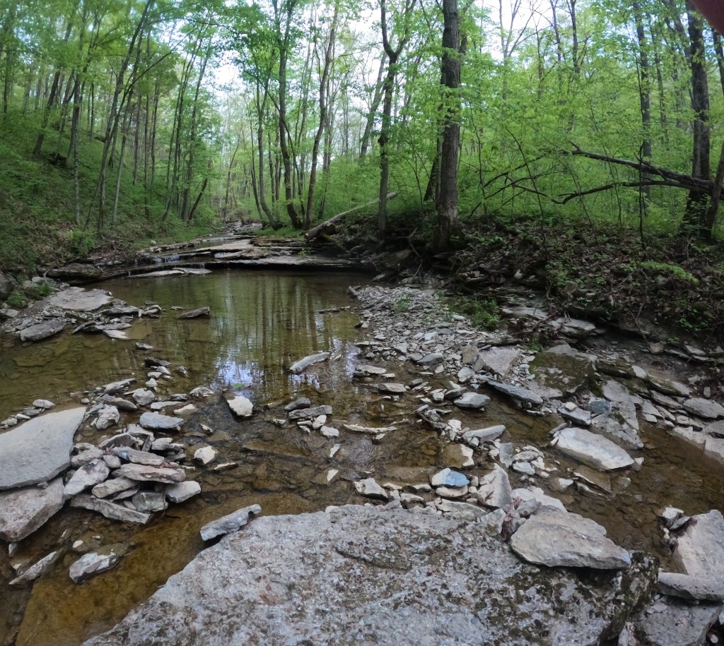
The location was Versailles State Park in southern Indiana, staging out of the group camp area by the dam. We all arrived Friday night since lodging was provide in the cabins and I never want to wake up any earlier than I have to! While unpacking and setting up packs and bikes, I freaked out that I left all of my lights at home. Que a few frantic minutes of me running around, dumping all of my bags until I found a very nicely packed small tote of all of my lights. Sometimes (most times) I’m my own worst enemy! I simply must learn to pack all required stuff in my pack and stop relying on my bin! Gear staged, dinner consumed, we were instructed to use the park map and whatever tech we wanted to sketch in the actual lake and river boundaries. Over the years, the river and lake have filled in a lot and islands exist that are not shown on the map.
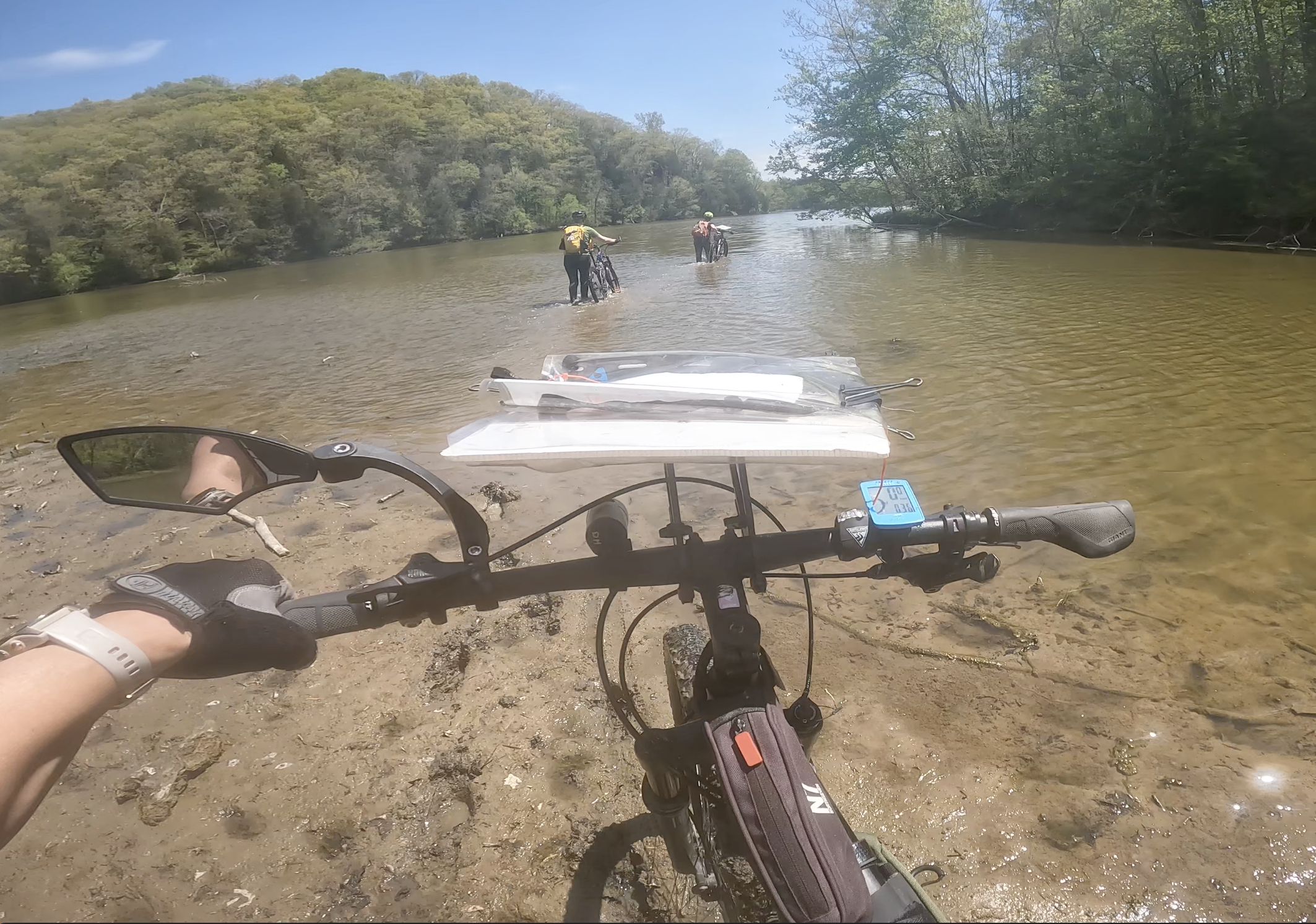
Legs 1 & 2: We gathered at 6 am, me frantic as always. Note to self – plan more than 45 mins if you want to have food and coffee! The start split us up immediately, one person running down to the dam to get the map, the other two biking to beach to get instructions. That was it, that was all we were told. Once I came back from the dam, I wasn’t sure if Karen and Kristy were going to bike back or if I should bike to them. I decided to bike down and look for them. Turns out most teams decided to bike back up and I found Kristy before I made it down the hill. Back at the table, we quickly plotted the first segment of 4 CP’s, which could be collected in any order and by any means. We opted to go via bike for the first since there were 3 by bike, then canoe to the last one after. Off to the bike trails we went, cruising along! We hit CP 3 with no issue as an out and back, then took a different trail out to CP 1. From there the plan was to back track to CP 2. This was were the great 17 vs 70 debacle befell us! When we were plotting the points earlier, Kristy said 17 but Karen heard 70 and I didn’t double check anything! This led us to wandering around in the area we had marked for about 30 mins until strangely enough another team showed up. They asked which CP we were looking for and when we answer 1, they were very confused, having visited it on the other side of the lake! We did a quick re-plot, understood the issue, then headed out to the boat launch. A little frazzled from wasting time we hit the canoe TA and got moving as quick as we could. Unfortunately, the AR gods were not smiling on us, as a quick weight shift, a slick middle seat, and a left hand paddle stroke all happened at the same time, resulting in us capsizing for the first time ever in a race as a team! Of course we were within sight of the launch so I’m sure the shore crew had a nice laugh! We were just deep enough that we had to swim the boat to shore, empty it and our packs, then do a reload and set sail once again. The paddle after our swim was fine, no major issues thankfully!
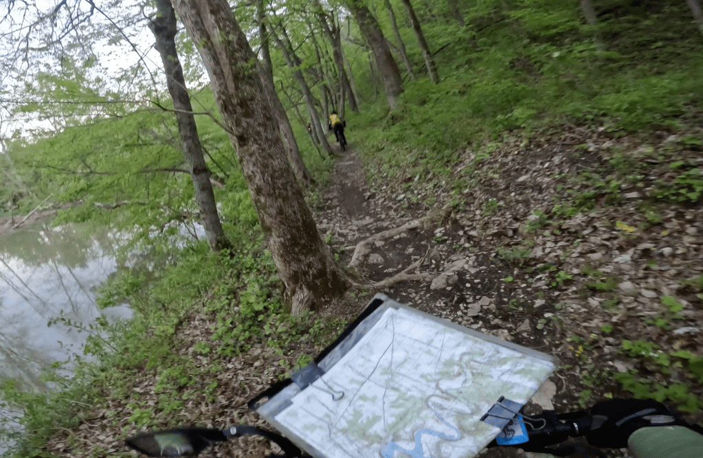

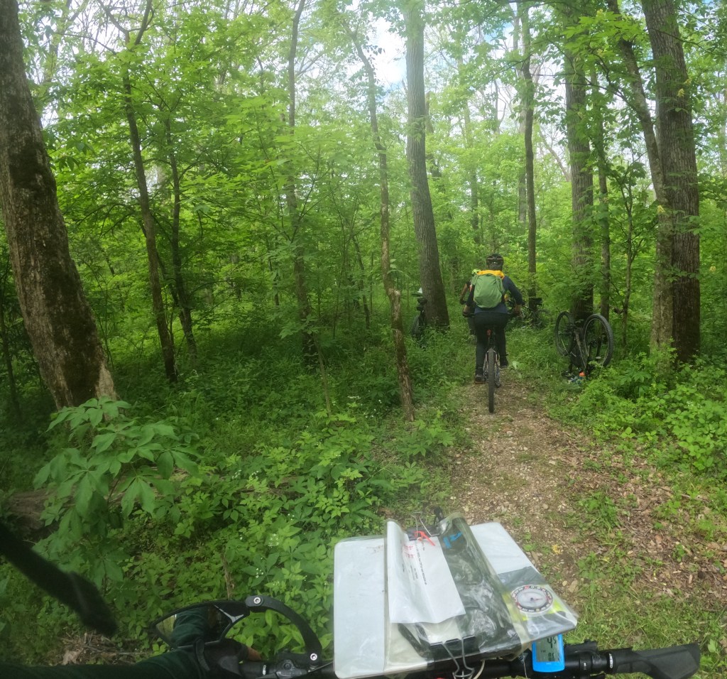
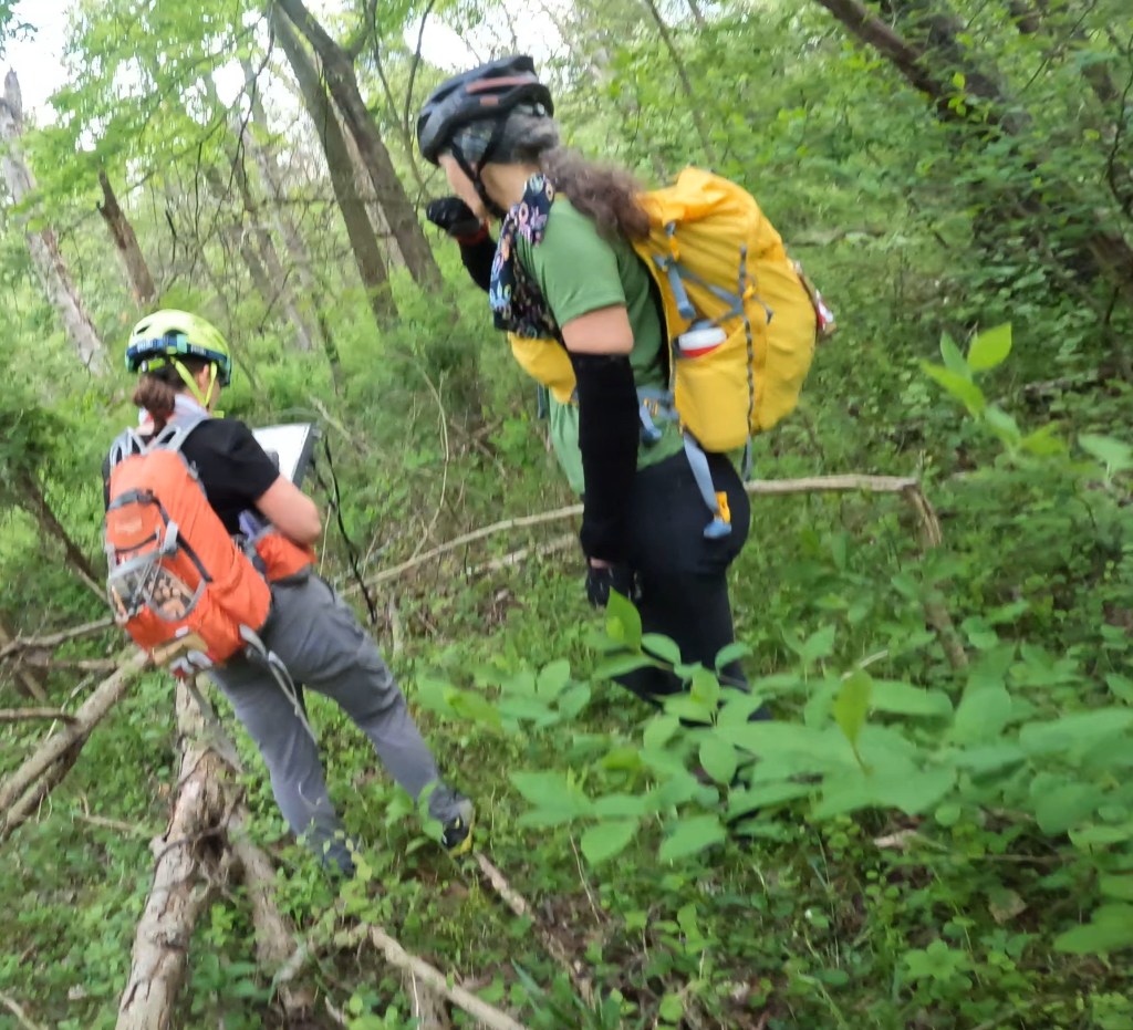

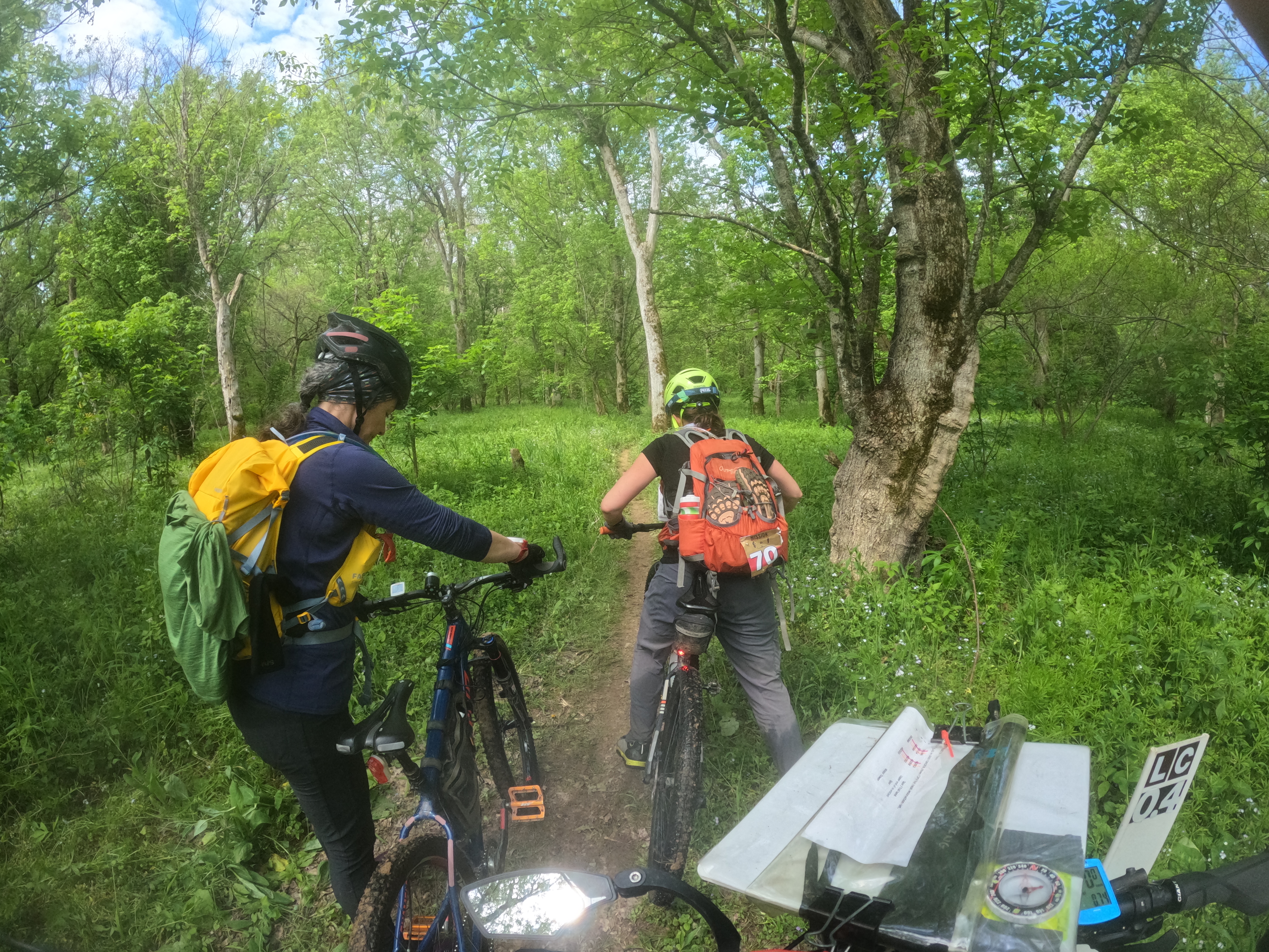
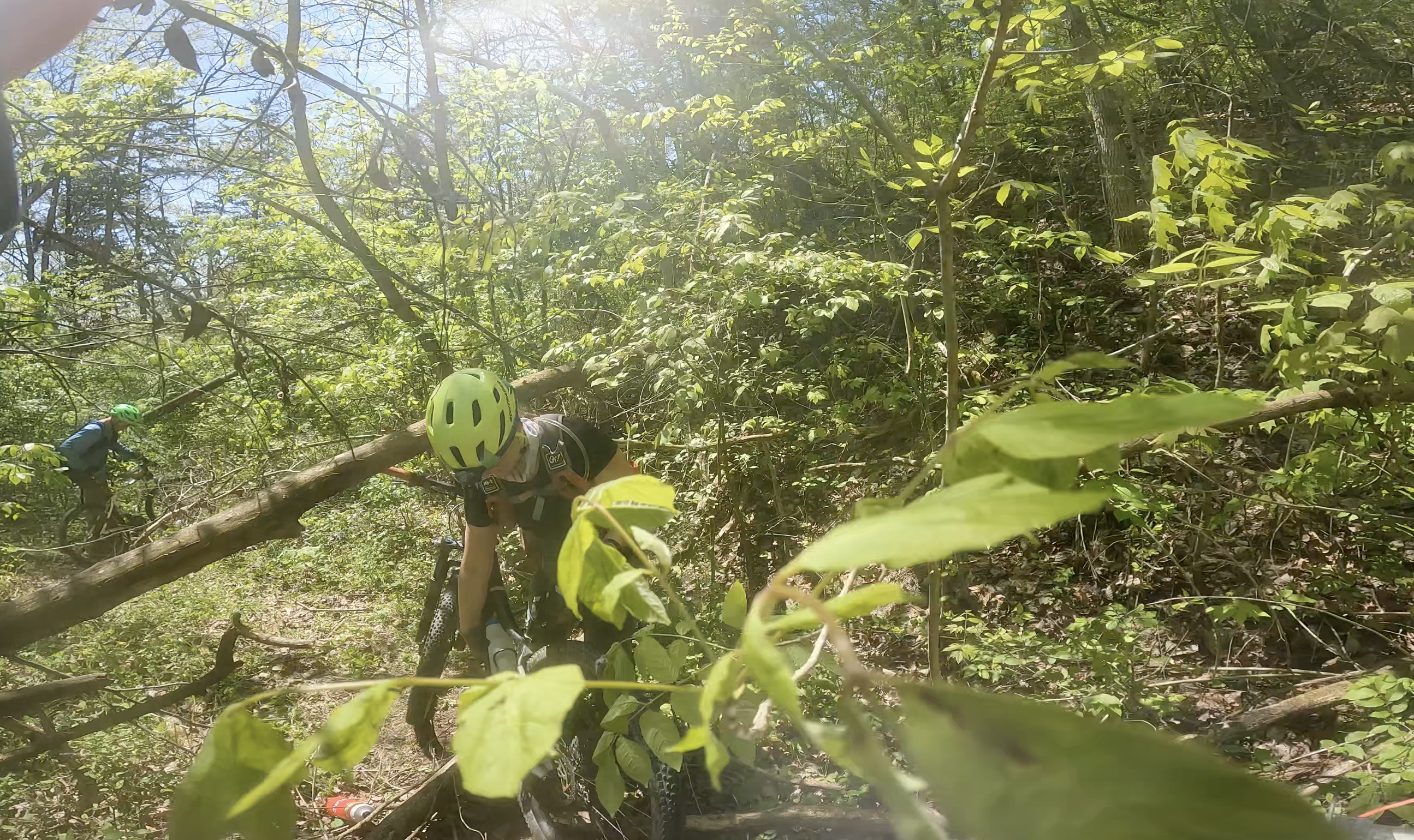
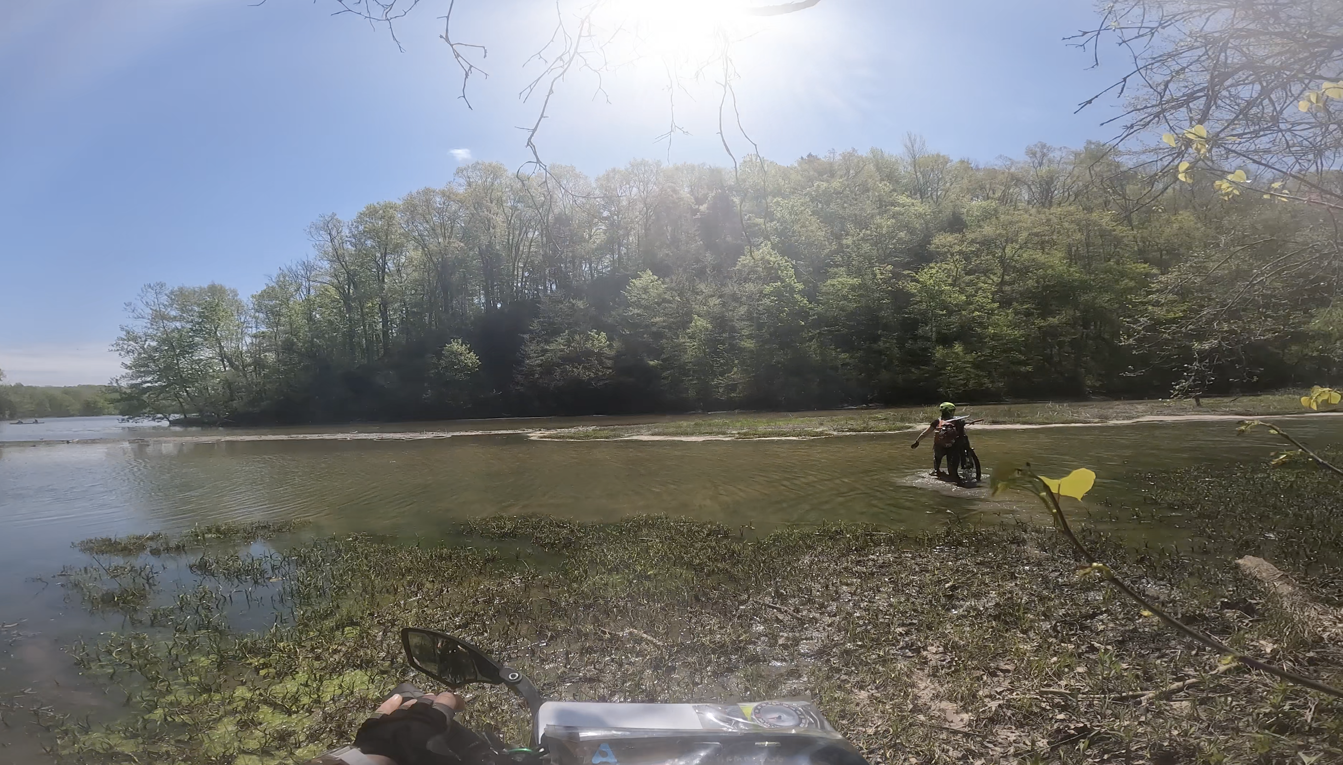
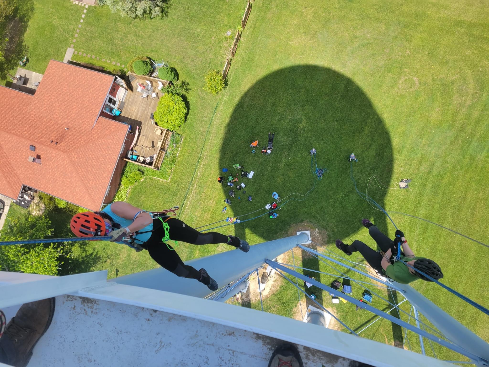
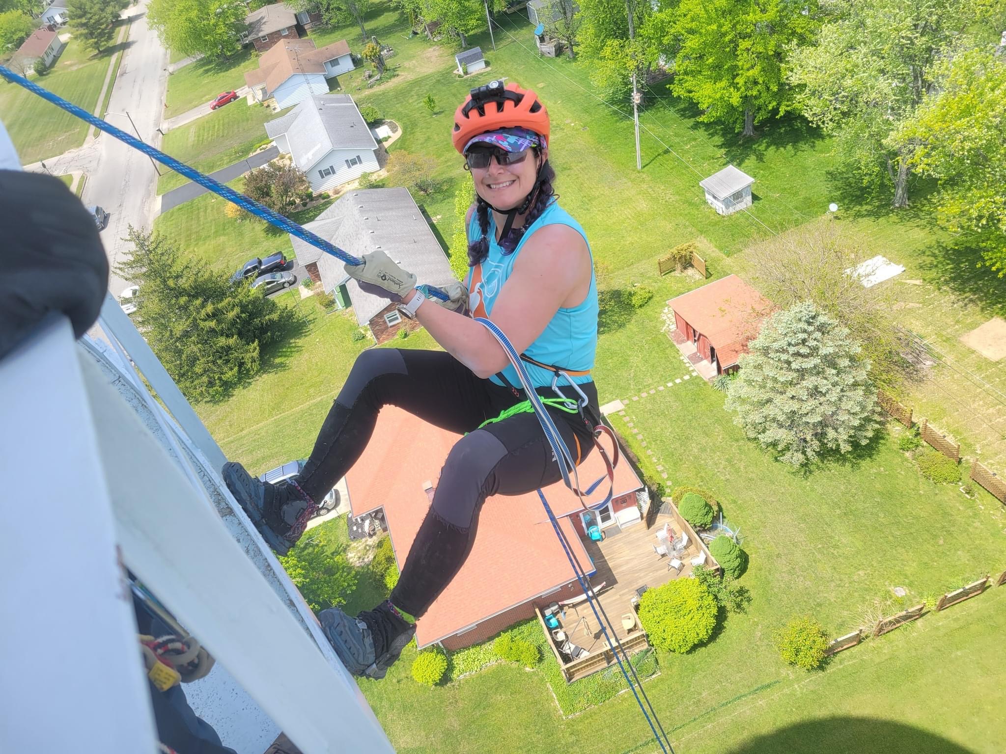
Leg 3: Back at the TA we had more points to plot and we made sure to triple check all the numbers! This was a nice bike section to CP 6 and 7. We had a slight bobble in trail choice on our way to 7 if the digital map is to be believed, looks like we could have had a straighter trail. From 7 to 8 was a nice road cruise until we began the downhill bike-whack. This began as a forest road, then degraded into a trail, which became a deer path maybe and continued down to the lake with many up and over deadfalls! At the lakes edge we could see the CP but it was on the other side of the cove. Given the topography on the other side, it made more sense to just carry our bikes through swampy mud and water to cross over. Of course, we had all mostly dried from our earlier dunking at this point! A steep ascent out of the lake and then we were biking into town to rappel off the water tower. We did a tour of water towers just because and arrived at the rappel around 1 pm. All told, the gearing up, the climb, and then the rappel down took us about an hour. We left our bikes there to be transported and hopefully seen later in the race and started hiking back to the main TA. Since we were hiking right through town, we did a quick detour into the Taco Bell for lunch! That burrito supreme was super tasty, especially since my breadsticks had to be thrown away after their dunking in the lake! Note to self – having a dry bag for your backpack only works if you do the whole process and roll it down and snap it!


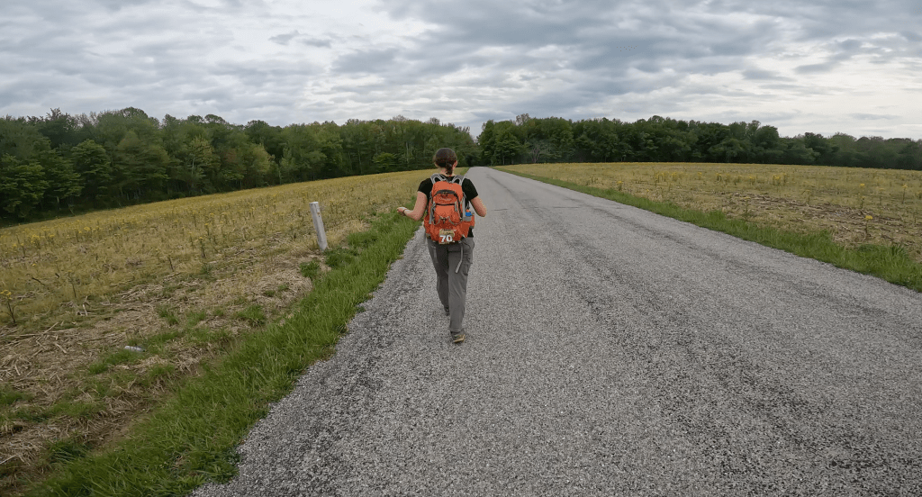
Leg 4: The trek back to the start had us picking up 4 CP’s along the way. The first one was tucked down in a small city park that had we been earlier to arrive we could have used the road in the recycling center to access. Since they closed at noon and the gate was shut and marked no trespassing, we bushwhacked some more to get to the checkpoint. From there it was a nice road walk to the park and through the covered bridge near the entrance. Then straight up hill to the remains of an old lookout tower and CP 11. From there we got a bit excited and headed towards CP 13 instead of CP 12. Luckily we remembered before it was too late and in the end it only added 0.6 of a mile to our trek. We ended the trek back at the boat launch expecting to head out on another paddle. Instead we were told that we were now short coursed due to the second paddle taking way longer than anticipated, even for the lead teams! I checked Steve’s team, who are strong paddlers, and it took them FIVE HOURS to travel 16.75 miles! We instead walked back to the start and received our short course instructions. Essentially we were to head out on the final trek (ugh) that the lead teams would do once they returned from the paddle/trek/bike segments.
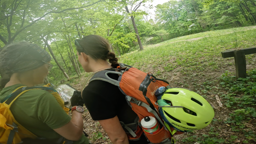
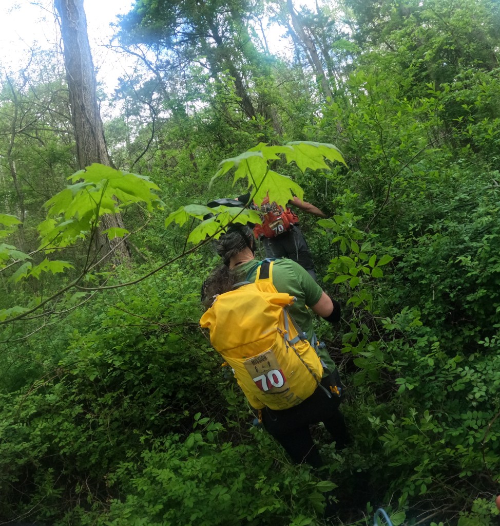
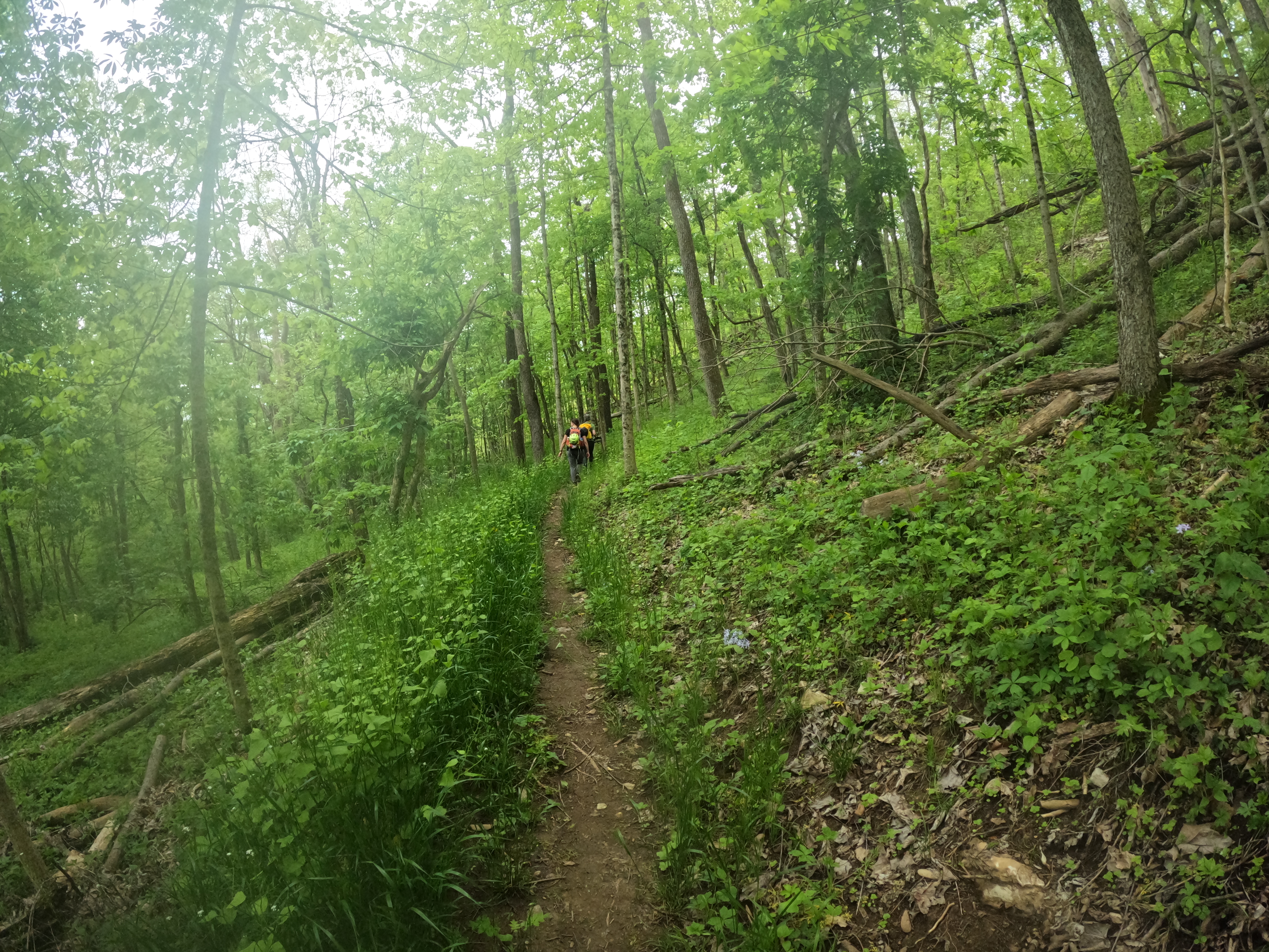
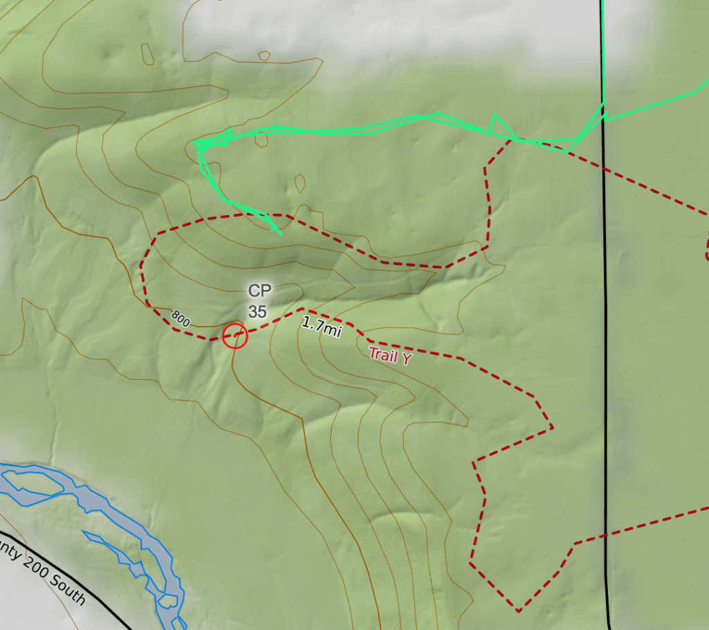
Leg 5: We spent a leisurely 45 mins in TA plotting points and fueling up for the last push. Sure we could have moved faster but I think we were all a little trek weary and the thought of heading out again to trek wasn’t very exciting. The last trek was primarily on the horse trails of the park so we had a supplemental trail map to go with our topo map. This dual map idea seems like it would be helpful but we had trouble resolving the two maps into one and at one point didn’t know which on to trust. CP 33 was close to the start and easy to find, then the plan to CP 35 was straight forward and everything seemed to line up until we got off the road and onto the trail. CP 35 was a re-entrant trail junction, which should have been an easy find. We exited the road to the trail and then started following topography and trail turns. After a decent amount of time, we and the other teams with us, all concurred we’d overshot it somehow. The trail turns and the topography didn’t line up and we didn’t know which map to trust! In the end, we backtracked to search a biggish reentrant and the other teams continued down the trail. My gut was to keep on the trail since it made a loop and I hate backtracking but I also hadn’t been looking at the maps so I didn’t voice my thoughts too loudly. Turns out upon looking at our trace and the maps, the trail has changed compared to what is on the map and makes an almost perfect parallel error situation! The teams that continued on the loop found the CP easily and we missed it by just a bit! Oh well, all part of the adventure!
We went back to the road and made a good attack plan to hit CP 36 as an out and back. This involved a bit of a bushwhack from one trail to another but we really could’t mess it up, and thankfully we didn’t! After 36, we needed to head North and cross highway 50 to look for CP 34, a small waterfall. We made that in good time and then started our climb out of the valley and back to the ridges. The spaghetti bowl of trails was a challenge for sure! We ended up on a giant switch back that wasn’t on the trail map but essentially put us right above the waterfall we had just visited. From there we hiked 1 1/2 hrs to hike the 2.8 miles up to CP 32. I don’t know if it was just the fatigue from essentially all day of hiking or if the scale was off but man, it sure felt like more than that mileage! We hit CP 32 around 10 pm and with only 2 hrs to get back and not really sure of the trails, we made the decision to not try for another CP on the way home. This was the smart decision given our trail weariness. After looking at the tracks, it would only have been 5 miles instead of 4.21 miles to go out and grab one more CP. Of course, this assumes perfect navigation and maintaining the same speed. We made it back with 30 minutes to spare so I still think it was a smart decision!


All told, it wasn’t necessarily our best showing at a race, a number of simple mistakes added up to more time lose than ideal. Fitness wise, I think I was closer to keeping up on the hike this time, so the inclined treadmill walking will continue! Food and drink seemed to be fine, especially with the added Taco Bell burrito! I know there are things I’ve forgotten since I’m writing this three weeks later but it’s the best I can do!