
Oct 8 2022 12 HR Solo
First in division (5 total soloist, one other female)
14 out of 28 teams
17 out of 27 CP’s collected
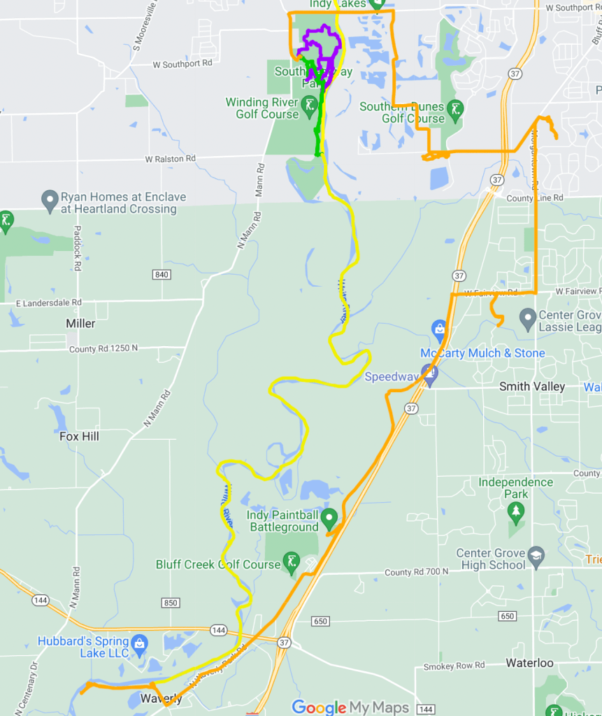
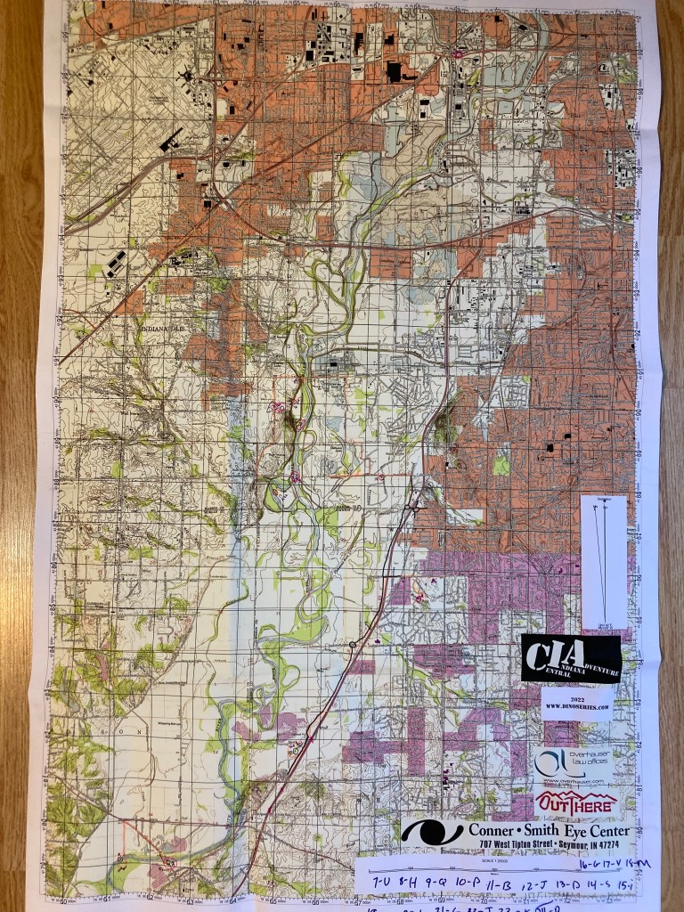
The DINO CIA race took place just south of Indy this year, out of Southwest Way Park. I knew I was in for a heck of paddle when we were told to drop our bikes off along the White River in Martinsville. What I didn’t anticipate was getting bussed even further north to start the race!
Leg 1 – Trek 3.51 miles 1 hr 13 mins
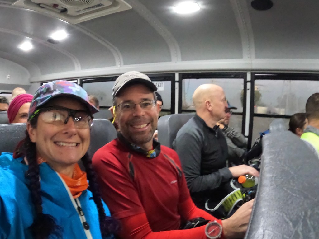
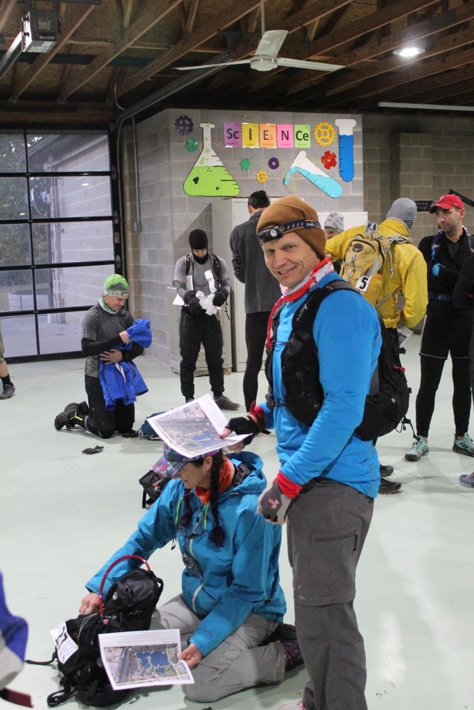
We boarded busses at 7:40 sharp and headed to the Lily Recreation Park. On the bus we were handed a plastic grocery bag and told to have them ready for the start of the race. As we exited the bus Brian handed us our first map. It was a simple map of the park with two CP’s marked.
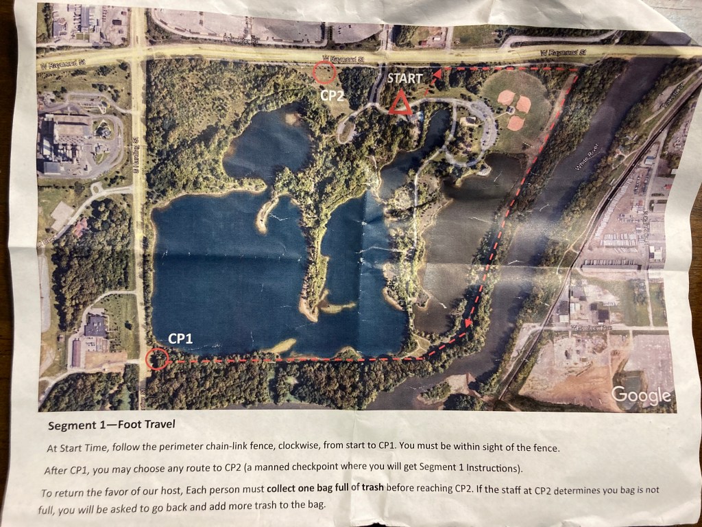

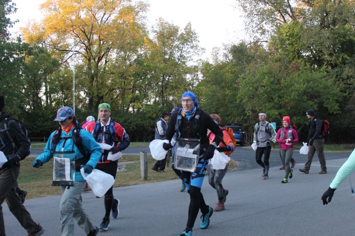
Our instructions were to gather a full bag of trash as we made our way to CP 1 along the fence and then to CP 2 however we wanted to go. If the bag wasn’t deemed full, racers would be sent back out to gather more trash. 3, 2, 1 GO and the race for garbage began! The front runners took off and I jogged along mid pack.
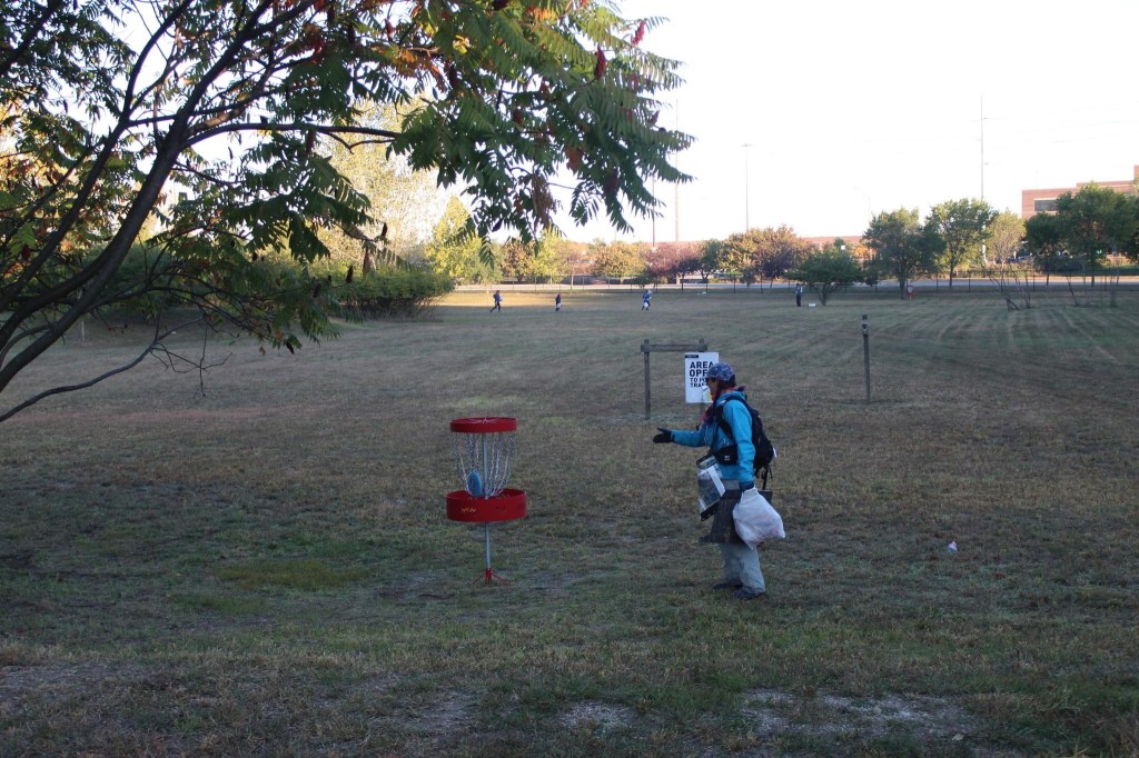
I didn’t anticipate getting trash to be an issue but surprisingly the inside of the fence was pretty clean. I had to dive into the woods and pick up what bits I could find. Teams ahead of me had bulging bags, I think the concern for fullness was an issue. I luckily scored some old styrofoam that had nice bulk but low weight! CP 1 was on the corner and after punching it, I decided to continue around the perimeter instead of back tracking. I branched off from the group in front of me and hugged the lake shore a bit more until I found a clear trail. From there it was an easy jog to the next challenge. We had to do one hole of disc golf. Only rule was could’t move while holding the disc but could take as many shots as necessary to get it in the basket. After this we punched CP 2 and received our big map and points to plot.
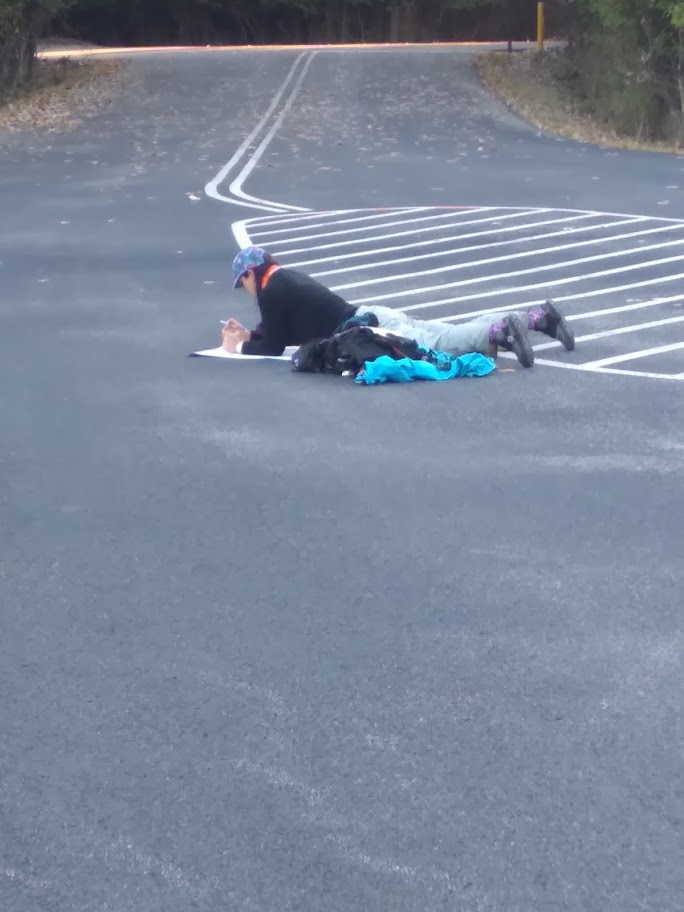
Plotting went well but I had zero idea where I was on the map since we didn’t know the coordinates of the park. City navigation is something I loathe! I did eventually find a road that was on the small map and then located the park. Upon leaving the park I had to take a minute to double check I was heading the right way. My brain was screaming to turn right but the map (and other racers) all pointed left. The next stop was CP 3 and a transition to paddle.
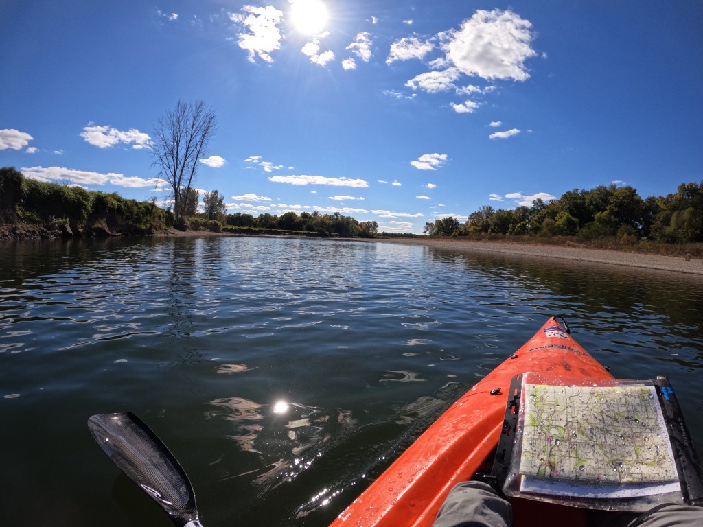
Leg 2 – Paddle 8 miles 2 hr 24 mins
The paddle started in a ditch of sorts, maybe Eagle Creek? The water level was low and I soon saw many canoes being drug along while the races walked in water from mid shin to knee deep. Being in a kayak, I was able to push through the low areas. I was sooooo close to having dry feet right up until the ditch joined the White River. There was just no way I could push through the sandbars to open water. This section took about 30 mins and then it was smoother sailing on the main river. We did have to portage a rock dam just 1 km down from the entry. It was a pretty steep descent over large rocks. I just got out of the way of my kayak and let gravity help out! The next 2 hrs are a blur. It was paddling with more paddling, topped with more paddling. I was bored! There wasn’t much nav to pay attention to since I just had to look for the roads we passed under. My shoulder started aching (MRI today to confirm but I suspect rotator cuff tears) and I was ready to be done! I, not surprisingly, was passed by several canoes but managed to keep another kayak and a canoe with 2 people using canoe paddles, in my sights. I’ve noticed if I don’t “chase” someone on the paddle I slack off on my pace a bit much, especially when fatigued. If you are reading this and race with a team and do not yet have kayak paddles, stop and go buy some right now! I promise, it is a game changer when you are in the canoe together! As this leg was ending, the 4 hr teams were paddling upriver to collect a CP via boat that the 12 hr racers had to get on foot. There was some confusion and I thought some 12 hr racers were stopping to punch it but hopefully they were all 4 hr teams. If you are cheating at adventure racing, you should probably evaluate your life choices!

As I neared the take out I saw a 4 hr team dump their canoe, which apparently was happening a lot! I’m super grateful that Steve introduced me to canoeing and even though I dumped us on our first canoe date, has continued to help me develop my skills!
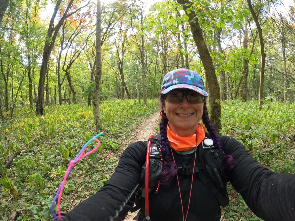
Leg 3 – Trek 1.9 miles 40 mins
After gladly saying goodbye to my kayak, I headed north along the river to punch CP 5. This was pretty straightforward since the river was the backstop. From there I had to head to the TA and it was a spaghetti bowl of trails! I head cross country and made my way uphill. I didn’t remember having a map of the mtn bike trails until I found myself on the hill top. Once I looked, I saw the orange trail headed down towards were I wanted to go. Looking at it now, I should have either used the blue trail or just headed downhill on a general bearing. This would have saved me about half a mile of travel. CP 6 was the TA and then we were give our next instructions.
Leg 4 – O Course 4.7 miles 1 hr 52 mins
The next leg was a fun Orienteering course set on the trails around the TA. We were given an O map of the course and the 12 points were grouped in 3’s. To score one actual CP point, we had to collect a set of 3 O points that were grouped without collecting another number in the middle. I set out to get the 40’s first since there was a close one to start with. I’ve not done much orienteering and always struggle with the map scale to start. I found the first one pretty easy and then decided to short cut over to the next one in the series. Here is where mistakes were made. I ended up going about a mile out of the way only to circle back and be 200 feet from where I started. Looking at my trace, I did exactly what I meant to do, was at the exact location I thought I was but then just went entirely the wrong direction!
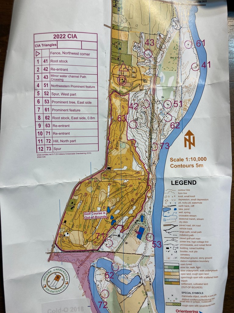
Once I looped back and found 41, I knew I could trust the trails to be accurate and then it was just a race against the clock. Trusting the trails on a regular AR map is usually a really bad plan, I’ve gotten myself lost a lot doing that, so trusting the O map was a stretch! I ended up getting 6 O points to earn 2 CP’s on my passport. Back at the TA we were given the next instructions, which basically said get back to the boats and then paddle to the bikes.
Leg 5 – Trek to boats 1.4 miles 29 mins
Back at the TA we were given the next instructions, which basically said get back to the boats and then paddle to the bikes. This time I paid more attention to the trails and was able to get back to the boat faster and saved a half mile of travel. Arriving at the boats I saw there were 2 kayaks left and the other soloist was just getting ready to head out. The boat I had was not the same as the one I left, the foot stops were way too far away and it was full of water. Small things but I was so not wanting to paddle more that it was irritating to deal with! Normally I love a good paddle but my stupid shoulder was already aching and sore and I knew just how far we had to go.
Leg 6 – Paddle 9.6 miles 2 hrs 32 mins
Done complaining, I climbed into my kayak and a group of 4 boats basically set out together. The other soloist and a coed 2 person team were ahead and then a team of 3 guys were near me. We chatted a bit, which helped the time pass. I was able to choose good routes around strainers and not get stuck on sand bars so I eventually passed a couple of boats (while also getting passed by other boats). Getting close to the take out, I had to stop for the call of nature and everyone I’d passed went by me again. By the time the paddle was over, it was getting cooler out and I was very excited to be DONE with the boats!
Leg 7 – Bike 18.8 miles 2 hrs
Arriving at the bike drop we were given a lot of CP’s to plot. Basically we could collect them in any order and make our way back to the TA/Finish. I took about 39 mins to plot the points, route plan, and eat some pizza, then it was time to bike. The first one was just south of the landing on a sand bar. I went a bit too far south but corrected myself in a decent time. From there it was north along the new road that ran alongside old 37/new 69. I was a bit concerned heading out since the road was really busy but traffic thinned out fast. We had a CP at Indy Paintball were we had to make 2 shots before moving on. I haven’t played paintball in years! The next one was a streetlight in an addition that was fast, then it was off to a park with 2 CP’s. Approaching the area I was sure it if was a park or what but then I saw the sign and it all made sense! Again, I overshot the hilltop CP but quickly corrected myself when I started heading downhill. These are small things but in prior races I would have just kept going, so at least I’m improving at details! At the next park CP, the other soloist was there and we road out together. It was getting darkish and the roads were pretty busy. We hit the old golf course CP and found it was a puzzle that had to be solved. Each number corresponded to a letter. Spread around the old course were 4 placards with clues on how to solve the puzzle. That coupled with the volunteer saying all you have to do is ask, led us to figure it out. “Sign my passport” and then we were free. Leaving the golf course, it was about 7:25 pm and getting back to the finish was going to require going north to a road that crossed the river. I did look and see that Wicker dead ended at the river and it was possible to wade across. I decided to take the longer way around and stay dry, plus the roads were flat and easy to find. I came in with about 18 mins to spare. It might have been enough time to go for one more bike point but the penalty for being late is so severe that I didn’t want to risk it!

Wrap Up
All told, this was probably my best solo race even though it was not my favorite race. There wasn’t much hard core nav, other than the O course, which I wish I had more time for. The scenery was meh, but being from central Indiana, I knew that going in! I did appreciate the trails around the park, and my legs felt great on the biking. I think my Assault Bike Desk training is working, or at least not hurting! The little challenges that Brian throws into the mix is always fun, as long as the bike board doesn’t make an appearance!!
