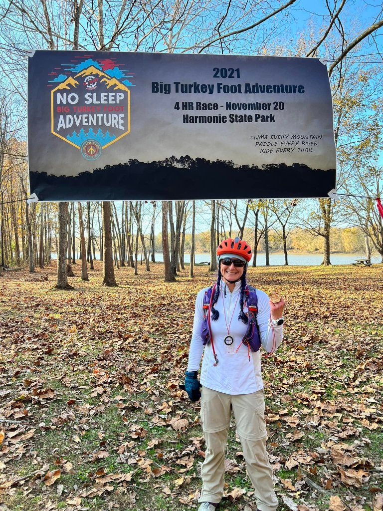
Solo – 1st (and only) in division, 28/28 CP’s, 13/36 overall
This race was a perfect beginners race but I couldn’t convince any new racers to join me, so solo it was! I actually really enjoy racing solo since I can go at my own pace and follow the map/topography with no pressure!
We drove down on Friday after school and stayed at the New Harmony Inn, a cute complex of buildings that include the Red Geranium restaurant. Being only a four hour race, I didn’t have to pack much and given my pack options are limited at the moment, I went with my Ultraspire running vest/pack. One of my goals for racing in the next season is to learn to carry less crap with me. After the Fig just a few weeks ago, I realized I finished the race with over a liter of water left in my bladder pack, plus a bunch of food I never ate. All of this adds up to extra weight, that over time in a longer race, wears me down. So, future self, if you are reading this, STOP PACKING SO FREAKING MUCH!!
Race day:
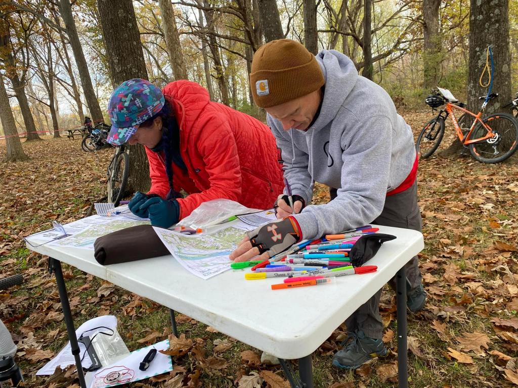
Check in was 8 am and we received our maps at that time. They were pre-plotted so it was just leg order and route choice to work out. We could choose to do the legs in any order, with only the bike points having to be done in order. No mandatory CP’s, just check into and out of each TA for each leg.
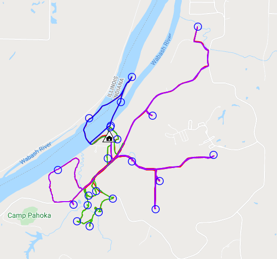
Leg 1: Canoe 1.8 miles, ~45 mins – I decided to do the canoe first with the thought that the wind could pick up more in the afternoon. The Wabash river was flowing pretty swift but the kayak I had did a decent job of staying on course. I went in a rough clockwise direction, grabbing the four points in the loop, only one of them requiring me to exit the kayak to punch.
Leg 2: Trek 3.66 miles ~ 1hr 40 mins – The trek section was primarily on and around the mountain bike trails. The trails were very leaf covered and didn’t look like they had been ridden much. My goal for this leg was to try and ignore the trails and just use the topography to navigate to the CP’s. I usually get way to confused and lost when I rely on the trails. Overall, I’d rate my nav on this section an 8/10. I found all of the points but I did overshoot and wander a bit too far on 3 of them. Luckily I was paying attention to the topography and was able to correct my mistakes without too many miles logged! Looking at my trace, it appears to have taken me about 30 mins to go from CP16 to 15, and then onto 14. CP15 and 14 were the two that gave me the most trouble for sure! I did a lot more overland hiking instead of trail following in order to practice. I wouldn’t say I was following a bearing so much as I was following the topography, which is a useful skill!
Leg 3: Bike 9.44 miles ~1 hr – I headed out around 12:30 pm for the bike leg, figuring I had time to clear the points on this section since it wasn’t on technical trails. These points had to be done in order so it was follow the leader in some sections. The first 4 points were down an old road that threw me for a loop because it said foot traffic only. It was obvious from the map that we had to take this road but as soon as I turned on it, I saw two hikers. I paused, rechecked the map and then just apologized as I passed them. They caught back up to me at the first CP and I explained that a race was in progress and that there were several bikers on the trail. From there, it was out and back to CP 2, and then 3 to 4. At CP4, I saw the next climb was pretty steep, so I opted to backtrack and take the road over to the trail that lead to CP5. The difference was only about 1/10 of a mile when I went and looked at the maps later, but the climb was much easier on the road! On the loop to CP 5, I rode behind a couple of family teams to the checkpoint. It was great seeing so many kids out there doing the race. I’m not ashamed to say I got beat by more than one family team! The last three checkpoints in this section were all straight forward and then it was back to the finish.