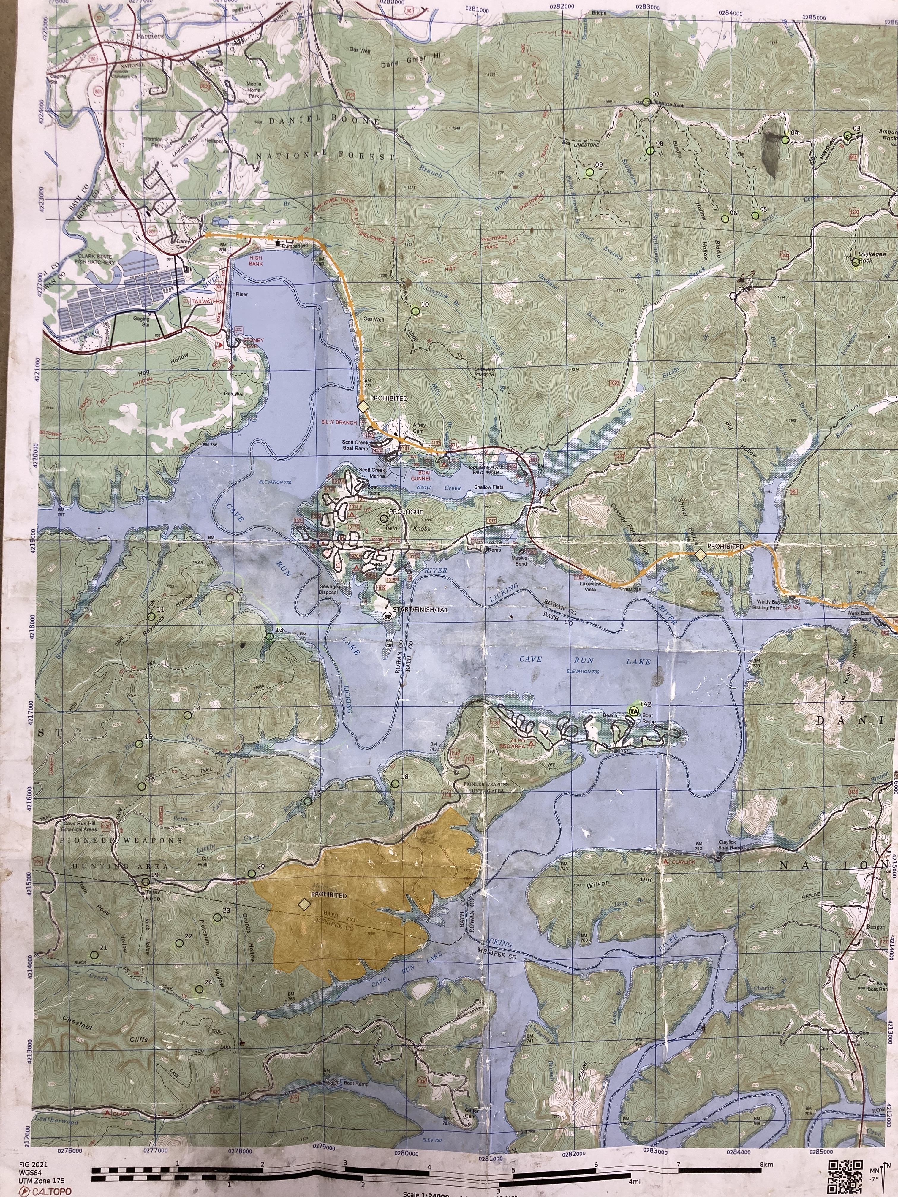
Cave Run Lake, KY
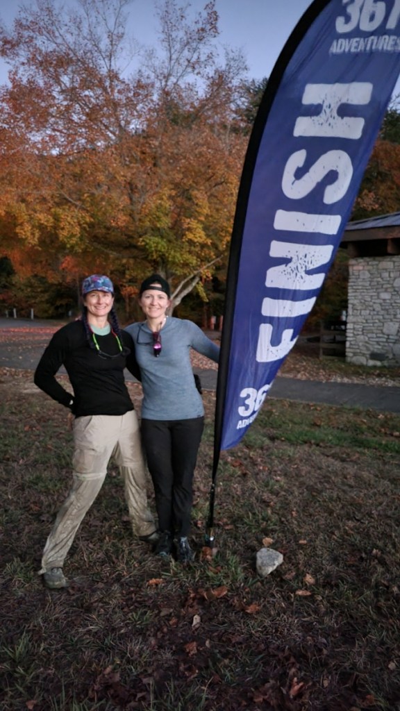
Chickpoints 2F with Kristy 2nd out of 8 in division, 19/62 overall. 21/25 CP’s.
This was my third FIG race, first time with a team. Typically held in the Red River Gorge area, this time it was out of Cave Run Lake, ensuring that the water would be deep enough to paddle! The two other times I’ve done the FIG, there was no paddle element but I’d heard from past racers that the water level in the gorge typically resulted in a boat drag versus a paddle!
This year there was no early check in, no staying up all night to agonize over the maps. It was show up, grab your packet, and ….. wait. Well crud! We’d hoped that getting there by 5:30 am we’d have the course maps to work with for the next hour or so. Nope, all we had was a small prologue map, passport, and the clue sheet! We staged the boats, got the bikes ready to roll and then hopped around to stay warm.
Prologue (2.11 miles)
The prologue was a run/hike to the top of one of knobs to get our main course map. Kristy and I didn’t follow the herd, instead going out on the road and taking a less steep way to the top. We grabbed the map and then did the quickest way down, dodging trees and racers as we went. Safe to say that no one was cold after this! The sun was just beginning to show was we came back to the TA. The course had two distinct sections, one was a big bike loop, the other was a series of paddle points and hiking points that you had to paddle to a trailhead to access.
Kristy and I decided to bike first since that loop had 10 points and there was no good way to exit if time became an issue. After the Hogback race this year, that is something I’ve learned to look for. The canoe section could be shorted just about anywhere if needed.
Biking (25 miles)
We saddled up and hit the road, no idea where we stood in the pack. The bike began with a big climb (750’ up to 1200’) on an old forest road. The grade was steep but ridable, especially with fresh legs. Parts of the road had slumped over the last couple of years, which I heard made for a bad crash for a racer who was coming downhill. The first two CP’s were a breeze, just a quick detour off the road. Kristy agreed to let me navigate so I could practice and I was feeling pretty confident (this would change quickly…) After CP 2, we knew that our path would take a big left turn. Kristy had ridden this area during the summer so she felt confident. I had the map so I should have seen it. In the end, neither of us saw it and we ended up on a paved road for a total of a 2.5 mile whoops. A quick reset and we were soon back on the correct road. We did lose ground to teams we had passed on the way up but oh well! CP 3 was on top of a rock formation and we attacked it from the wrong side, the cliff side! We saw teams scrambling down and worked our way up. There was a tiny crevasse the passed into the center of the rocks. Kristy went in and after ditching her pack to me, made it with no issues. I, on the other hand, did not make it. Thank you to the kind racer who grabbed my pack and map and I frantically tried to fight my way out of the grip of the rock. I apologize for the language I used! After this one, the next couple were easy, just bike out the fingers and pick up the points. I did take us on a scenic route once as I became accustomed to the scale of the map. The single track wasn’t awful, pretty rocky but nothing as bad as Nationals and that damn Danky Dank trail! CP 8 I overshot a bit but considering the location, we could have attacked it from just about any side. After CP 9, it was a long ride, mostly down, to CP 10. This was when I started to fall apart. I had eaten breakfast but we were moving at a pace that was easily 2x as fast as I would have gone alone and I was sitting in a calorie deficit. Trying to bike, read the map, and eat is something I’m not great at, especially on trails! By the time we hit CP 10, I was actually hyperventilating, something I’ve not done since high school track! We took a moment to allow me to capture my breathing and to have a snack. I knew we only had a few miles to go until we hit the TA and I could have a bigger food item. Takeaway from this is that I need to set up easier to consume food for the biking section, especially if it is more trail than road. Maybe try out some of the calorie dense liquids. Rolling into the TA at noon, we had a longer break so I could eat my chicken nuggets and hydrate. I’m guessing we left about 15 mins later or so. I wish I had a better way to mark time segments!
Paddle 1 (5.8 miles)
This was my first time using the Epic carbon paddle and man, that thing is light! It felt a little twisty in my grip but overall, would recommend! We decided to hit TA2 right off the bat since it was a required point. From there, we would work our way around the lake clockwise and get the points on shore. I again had some difficulty putting the scale of the map over the actual topography I was seeing, wanting each little inlet to be something on the map. As we made our way from TA2 to CP18, we saw boats just pulled up everywhere on the shoreline! I guess several teams thought it would be faster to hit the road or try and walk the shoreline to get to the TA2. We were making pretty good time on the paddle and my legs enjoyed the break for sure.
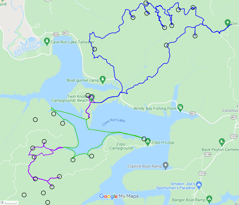
Trek (7.7 miles)
From CP 17 we headed one cove to the north and decided to leave our boat there and hit the trails. We started with CP 16, then up to Tater Knob Firetower for CP19, out to 23, then 20 on the road. We backtracked from there back to 16, figuring we didn’t really have time to head off for CP’s 21, 22, & 24. At CP 16, we dropped down off the ridge into a reentrant, following it down to CP 15. I’m not sure I would have tried this if I were solo but it worked! We did end up a bit too far to the west but Kristy is pretty magical when I hand her the map saying “uh… I’m not sure were we are”. From 15, it was a trail down to 14, then back to boat.
Paddle 2 (3.5 miles)
Back in the boats, I think we had about 1.5 hrs to go until cut off, maybe less. We had 2 points we were sure of getting and then had to decide to try for CP11 or not. CP 13 was pretty easy, just a bit of mud scramble to get back to the creek. From there, CP 12 was just past the next cove. I felt pretty sure I had the correct area but another boat of more experienced racers, passed the spot I thought it was and went one more over. I should have trusted my nav on this one since I was correct! We wasted about 15 mins looking in the wrong location and that made the decision for us on whether or not we could have tried for 11. We hauled butt over to CP 12 and then it was a mad shoulder burning dash to get back to the finish in time! I love a good paddle but man, that was cutting it way too close. I think we came in with 3 mins to spare!
Wrap Up
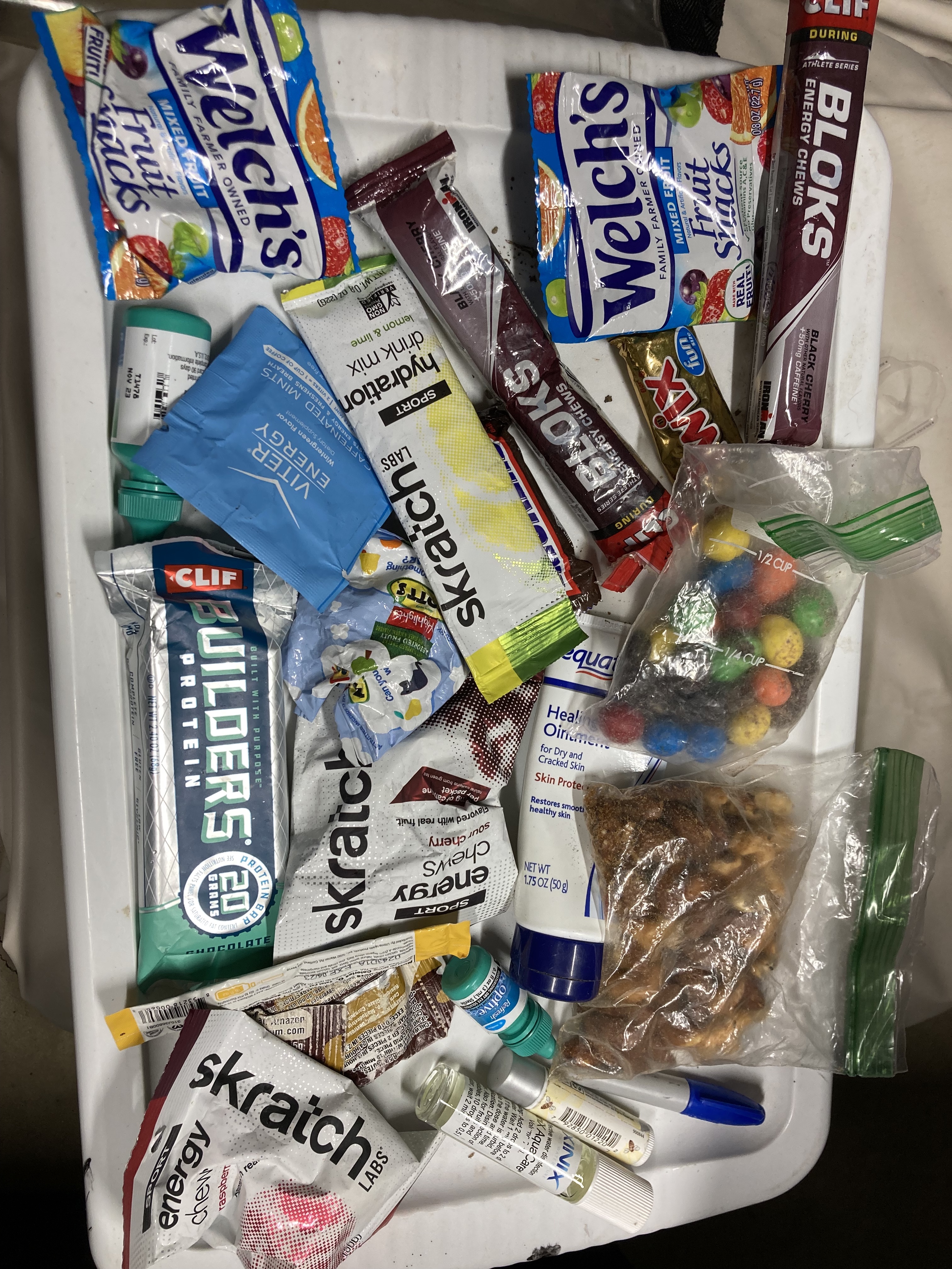
Overall, it was a really clean race for us! That one major bike goof cost us some time but I don’t know if it would have been enough to go for another point or not. Looking back over the map, one thing we had considered doing was parking the boat at CP17 and then making a big trek loop. I mapped that out afterwards and the loop would have been about 9 miles, versus the 8 miles we did. In order to race faster, I have got to learn to race lighter. My pack was easily 10 lbs I’m guessing, since 3L of water is 6.6 lbs on it’s own! YIKES! I ended the race with 44 oz of water left in my bladder, which is almost 3 lbs of extra weight I carried for no reason. There have been other races though, were I drank all 3 L and had to fill more. My fear of running out of water is substantial! I think for my winter training I’ll break out the weight vest and do lots of up hill climbs. Pictured below is all of the junk I pulled out of my pack after the race was over…