Wednesday July 14 – Kaldbakur hike
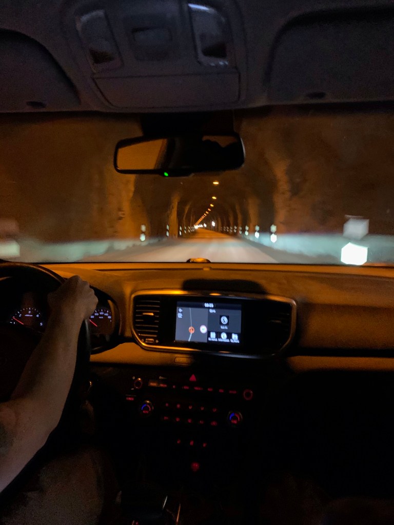
The Mánagisting Guesthouse in Ísafdjödur is a great place to base your local hikes out of! We had one room with 3 single beds, and while it was tight, we were only in the room for sleeping. They have a nice kitchen and lounge area, and laundry on site. We wanted a non-camping option for a couple of nights before we set out on the Horn expedition, so we splurged for two nights here! We woke up a bit earlier than our norm and got rolling since the weather wasn’t currently raining and we had a 10-12 mile hike ahead of us, half of it up the highest peak in the Westfjords! This was hike that Steve and I did the last trip and one of the few things we would be repeating this trip. It was a short 45 min drive under the mountain to Þingeyri, using some of the one lane tunnels of Iceland! Nothing like playing chicken with the oncoming cars! Actually, it is quite simple and everyone does the right thing. I can’t image the carnage if we tried this in the states…
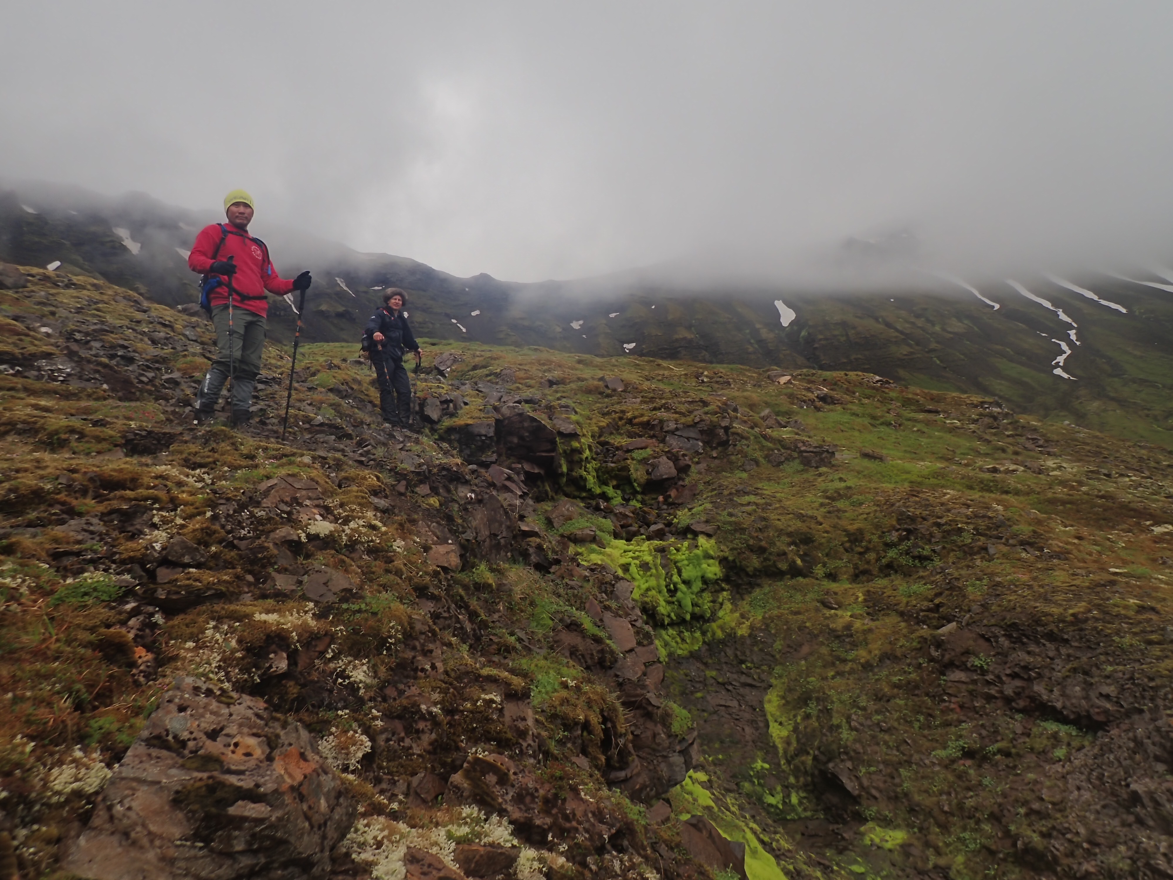
Out of Þingeyri on a gravel road, we found an ancient road bed that led into the valley we wanted. The last time we had parked at the home of a local farmer but decided to try a different approach this time. We saw a golf course were the farm was and figured they had sold it, so our plan was solid. We donned the rain gear and packs and headed up the valley. This was a pretty gentle 3.5 mile gradual uphill climb.
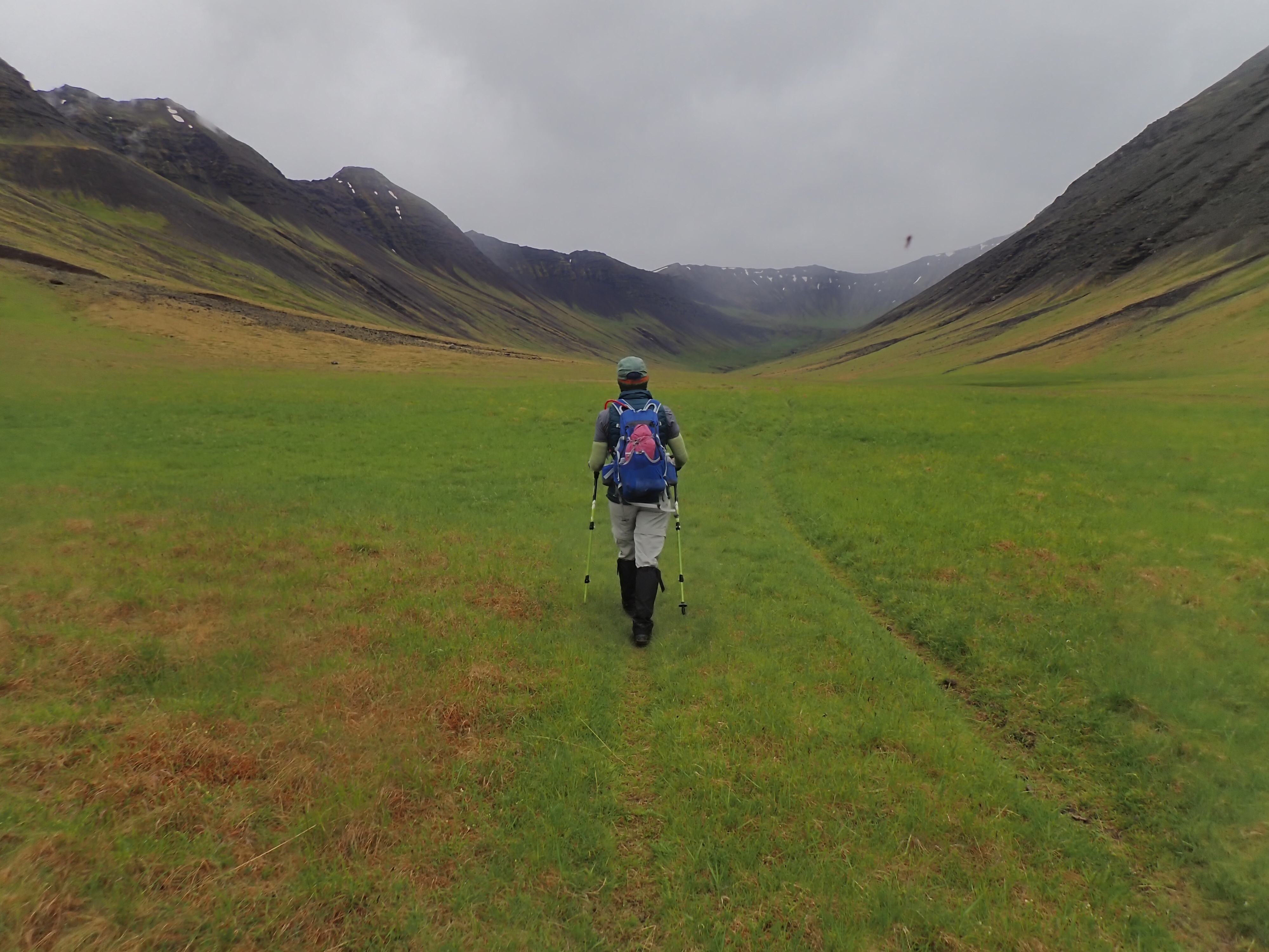
Heading up the misty valley.
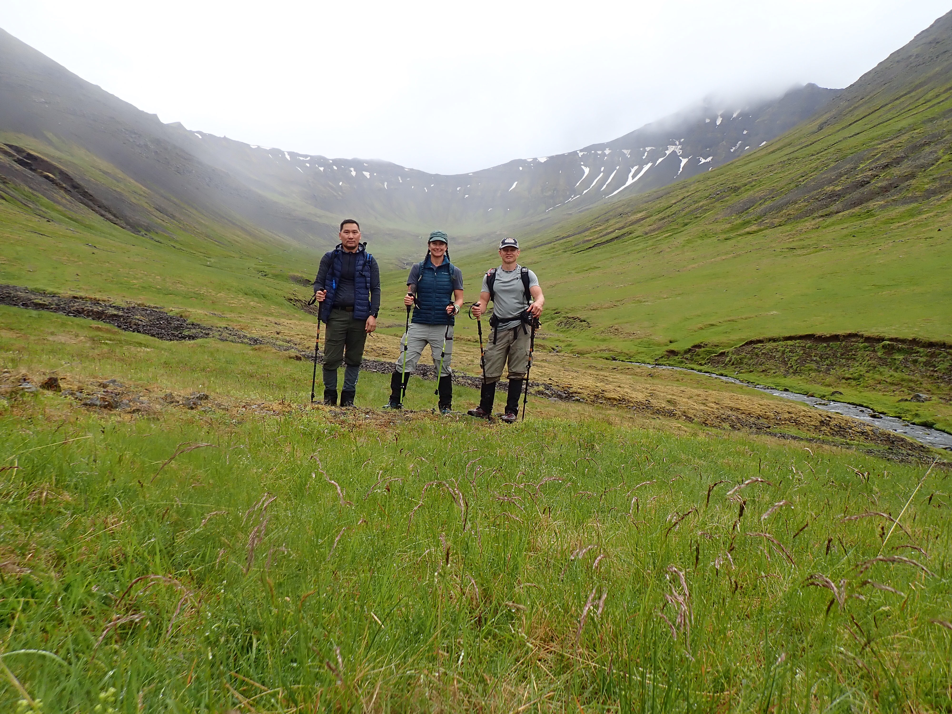
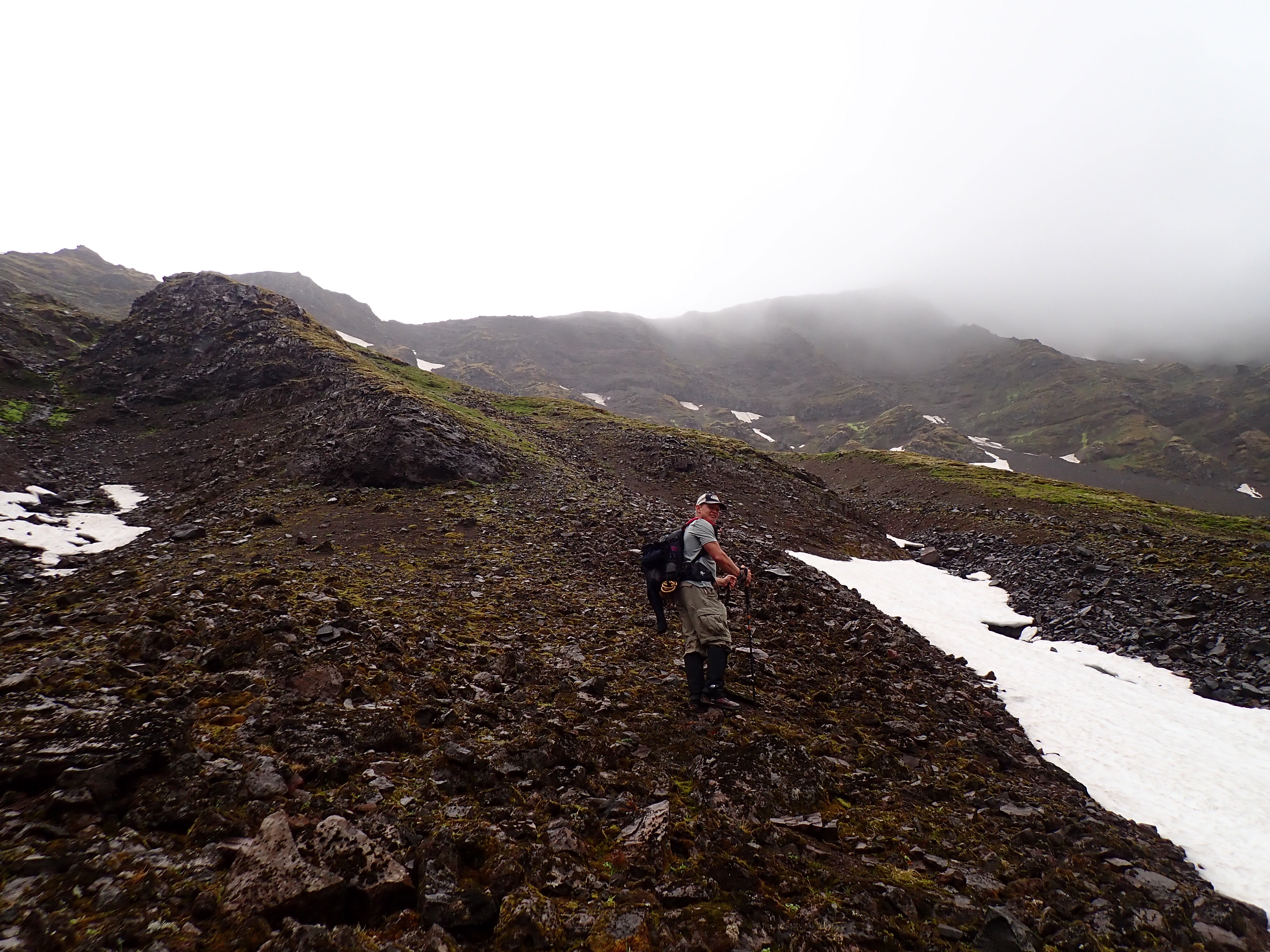
Steve had read about an old (ancient?) Icelandic spar mine in the valley and had a pin marked to try and find it. Icelandic spar is really pure calcite mineral with the cool property of having double refraction! « Centuries old Viking legends attribute their navigational success to the use of mysterious, glowing “sunstones” to find the position of the sun and set the ship’s course even on cloudy days. Although still controversial, many researchers now believe that these “magical sunstones” were in fact Iceland spar. » – Click for source and more info We didn’t end up finding any sign of the mine, nor any spar crystals sadly. We we did find was as steep freaking slope we had to get up! Both Steve and I remembered going up something steepish last time that brought us to a fairly knife edged ridge that we followed up to the peak. We were pretty sure we saw it across the valley but decided on a closer ascent choice. It was not awful… it was scary. The footing was at least not super slick like the other hike. The misty rain had made for a stickier surface, but the rocks were just as crumbly. No ropes were needed but some 4×4 moves were required.

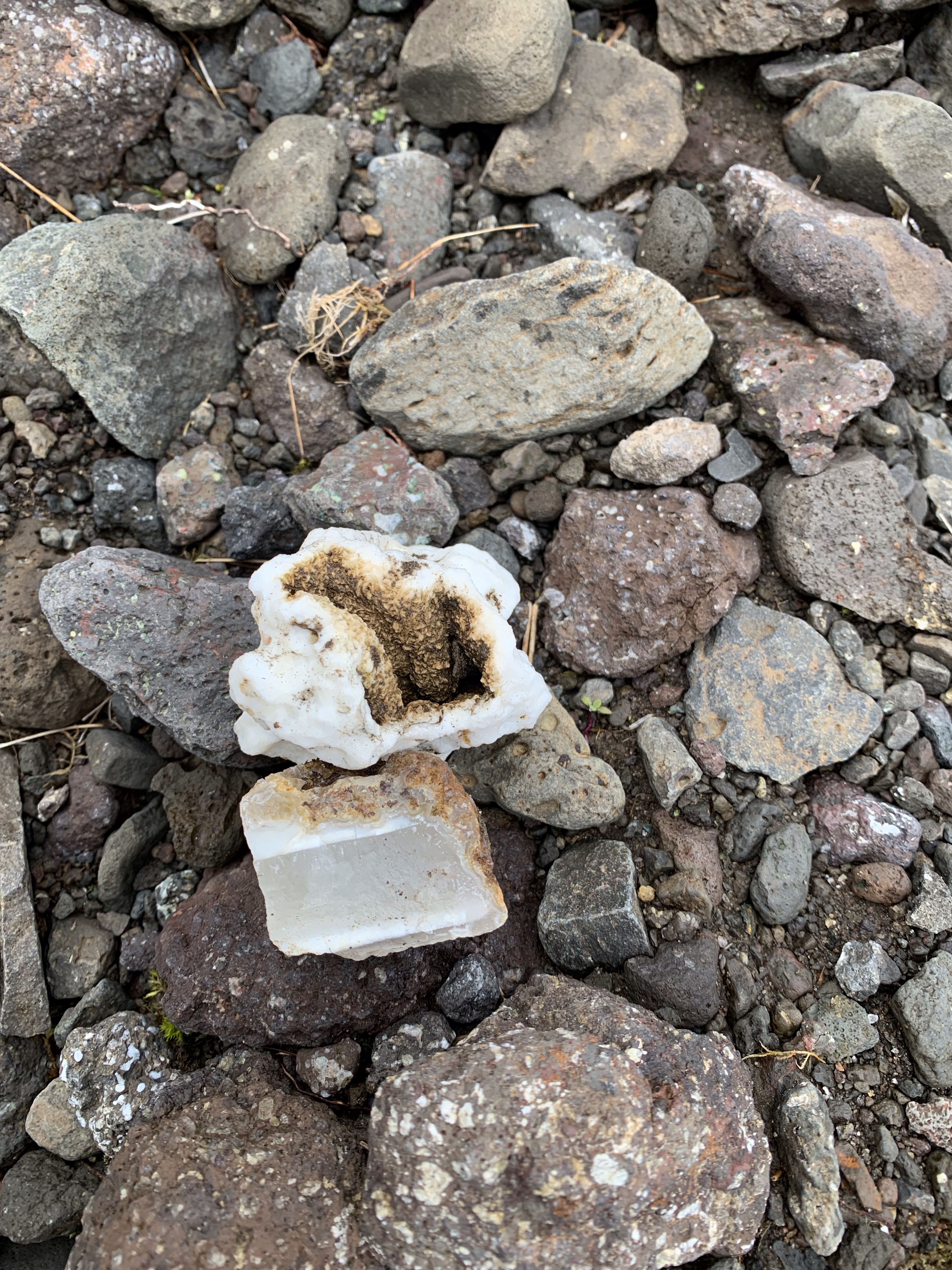
Not Iceland spar
We made the ridge line and then headed up the only option to the peak. This was a fairly straight forward climb to the top. I remembered it from the last time as being a lot longer. The weather was pretty cold and misty but luckily the wind died down once we cleared the top. Unfortunately, the cloud cover was so thick you couldn’t see anything, even worse than last time! We found the cairn marking the top but someone in the last 7 years had removed the plaque and the journal. We walked around a bit looking for another cairn but we had really found the top, there was no place left to go!
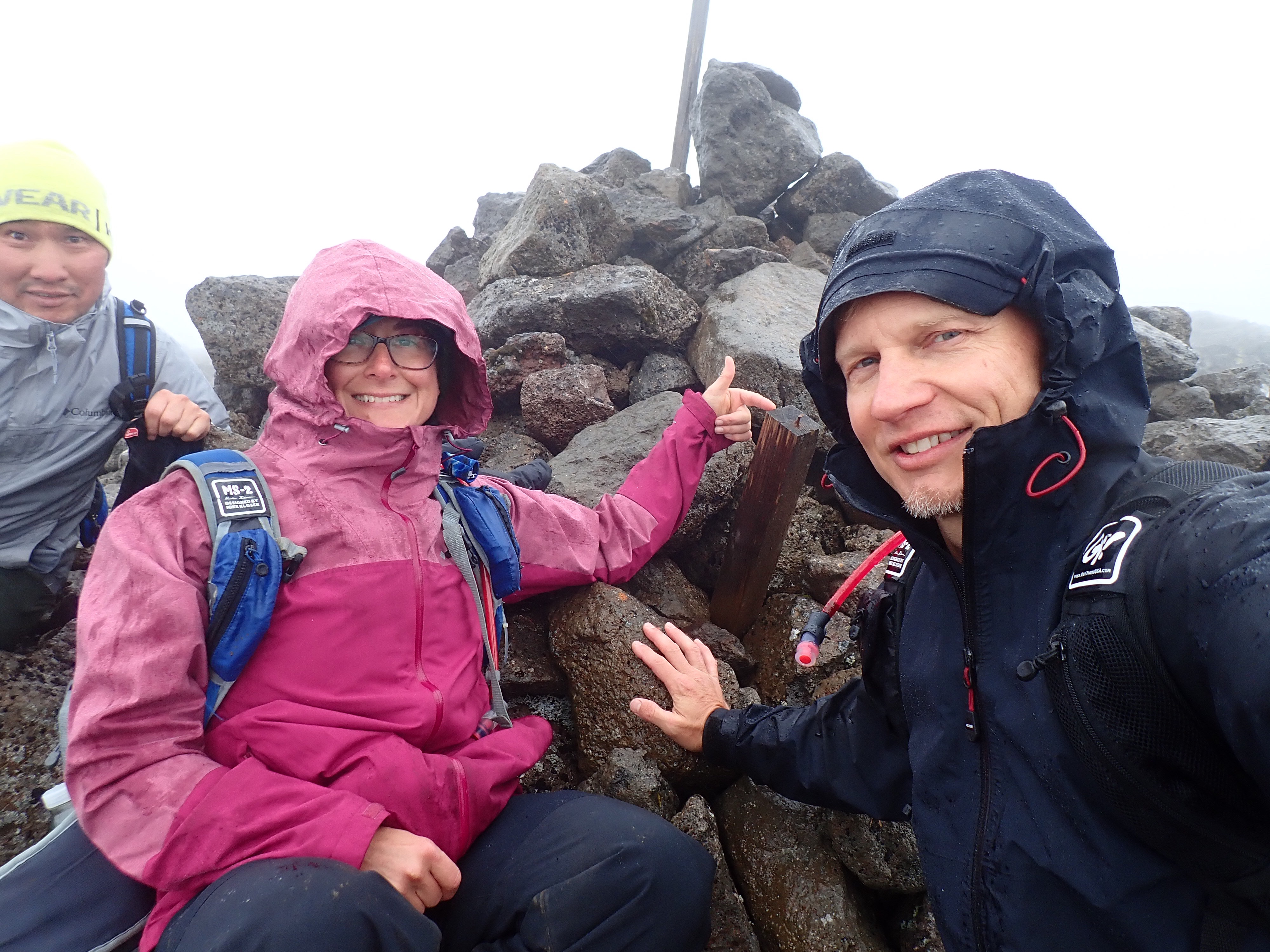
The top 2021 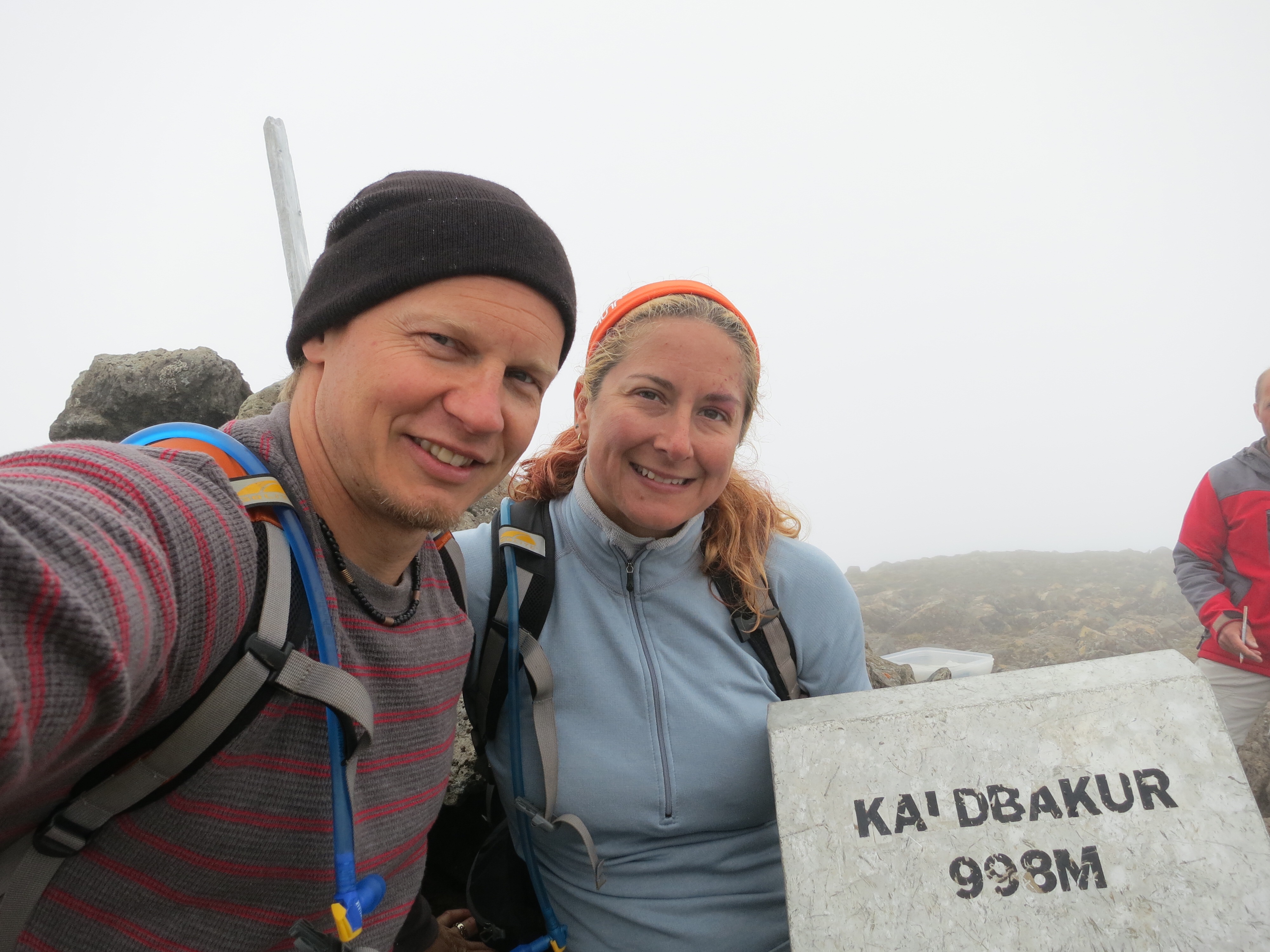
The top 2014 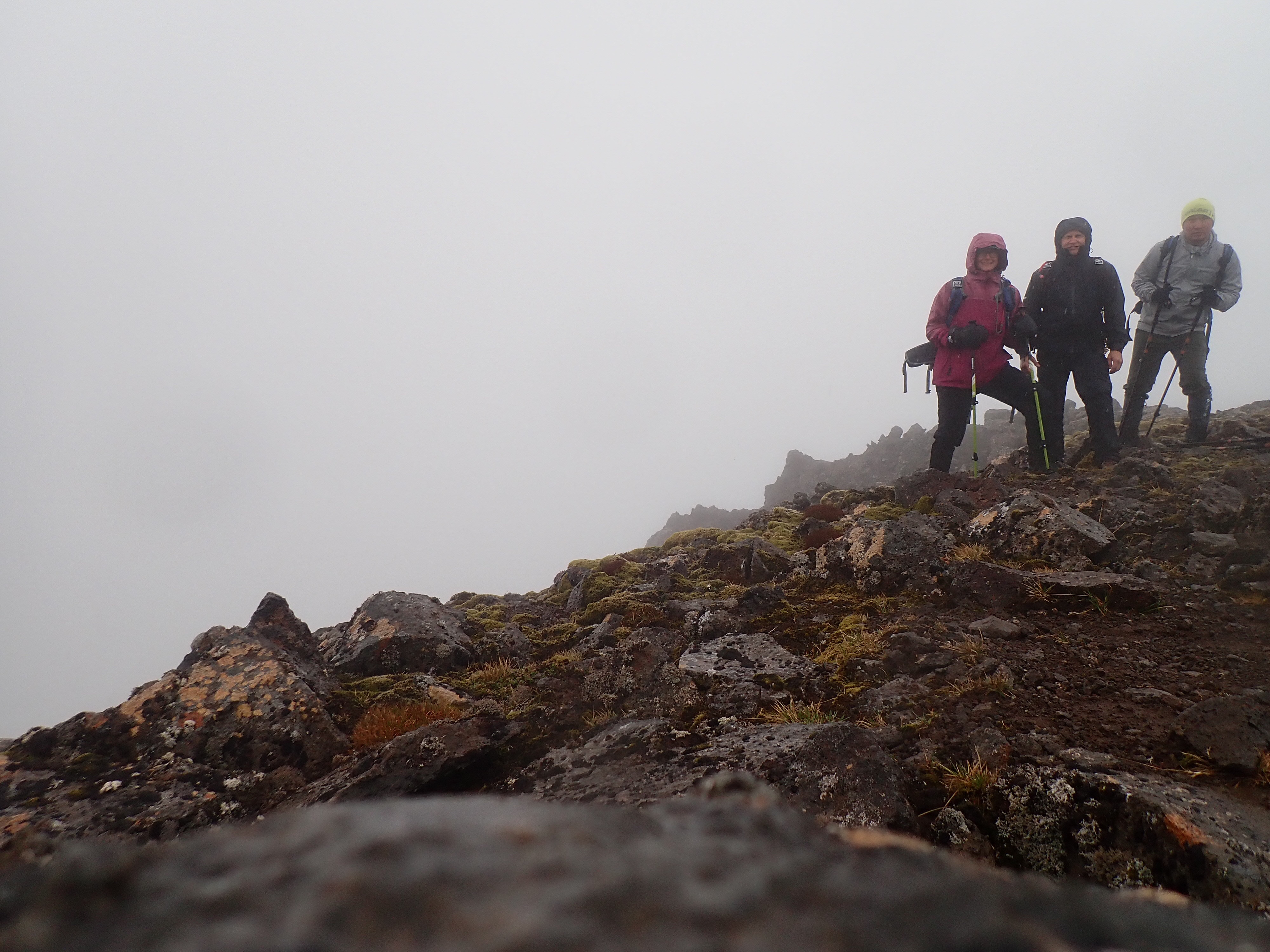
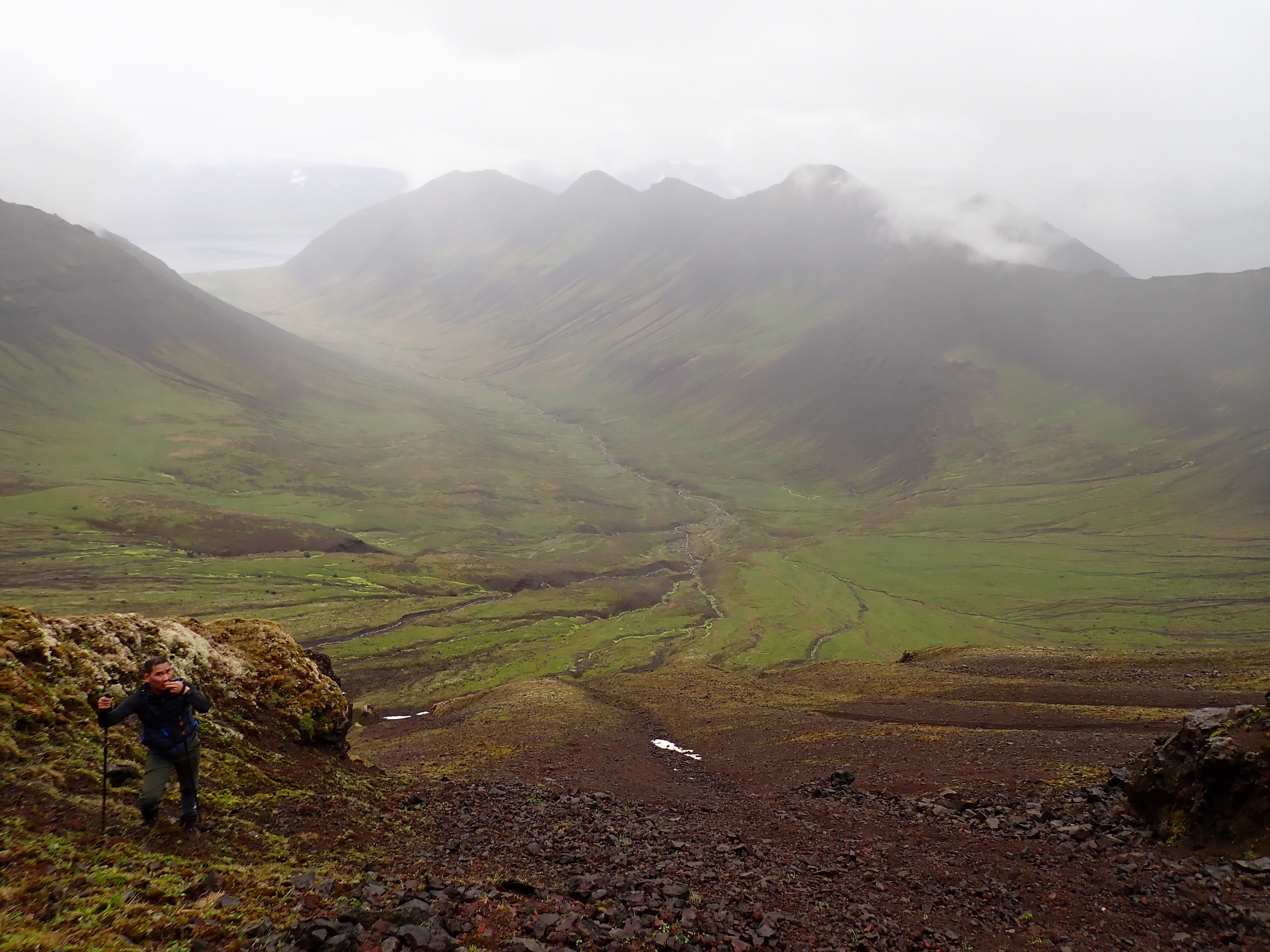
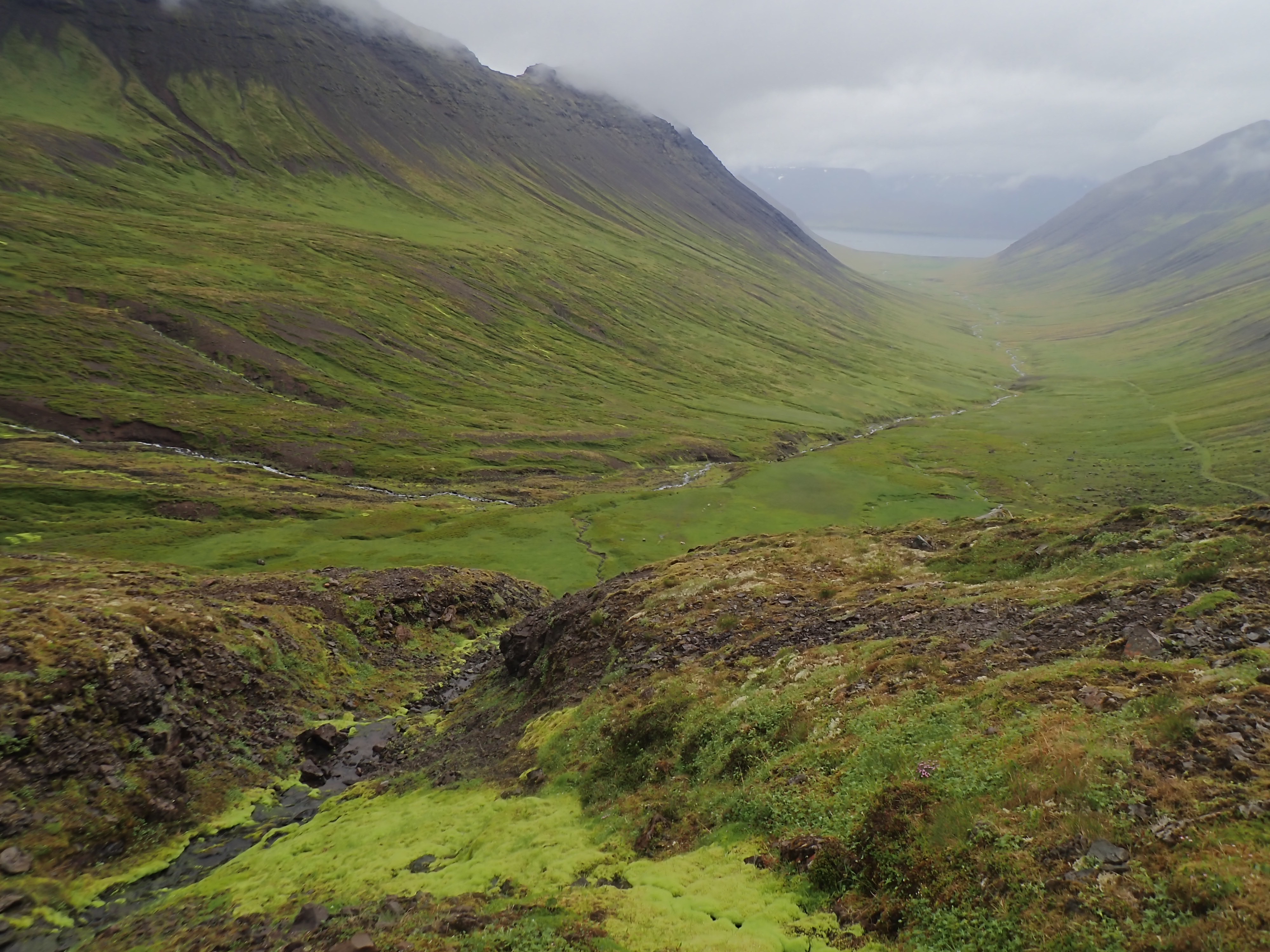
At the edge
From the top we had planned to go back down the route we took in 2014. After some wandering around different ridges and not seeing what we remembered, we pulled up Gaia gps app and took a digital look around since the cloud cover was so thick. Remember earlier when I said the farmer must have sold the farm for a golf course? Yeah, not so much… We had somehow hiked up the wrong dang valley! 😂 On Gaia we could clearly see the farm in the next valley over, which explained why I thought this route was so much more challenging this time. I‘m in better physical condition now than in 2014 and I didn‘t think I‘d gotten less brave, so when I was have a small freak out during the climb today I was like what the hell, I did this before! Nope, I had not done this before and it was way more challenging! I felt so much better knowing this! Now we just had to find a way down, preferably into our valley we had parked the car, and not the farmers valley. We walked Steve‘s favorite way, right along the ridge. Watch the video and see for yourself! You might hear me mutter „please don‘t die“ as he passes me…
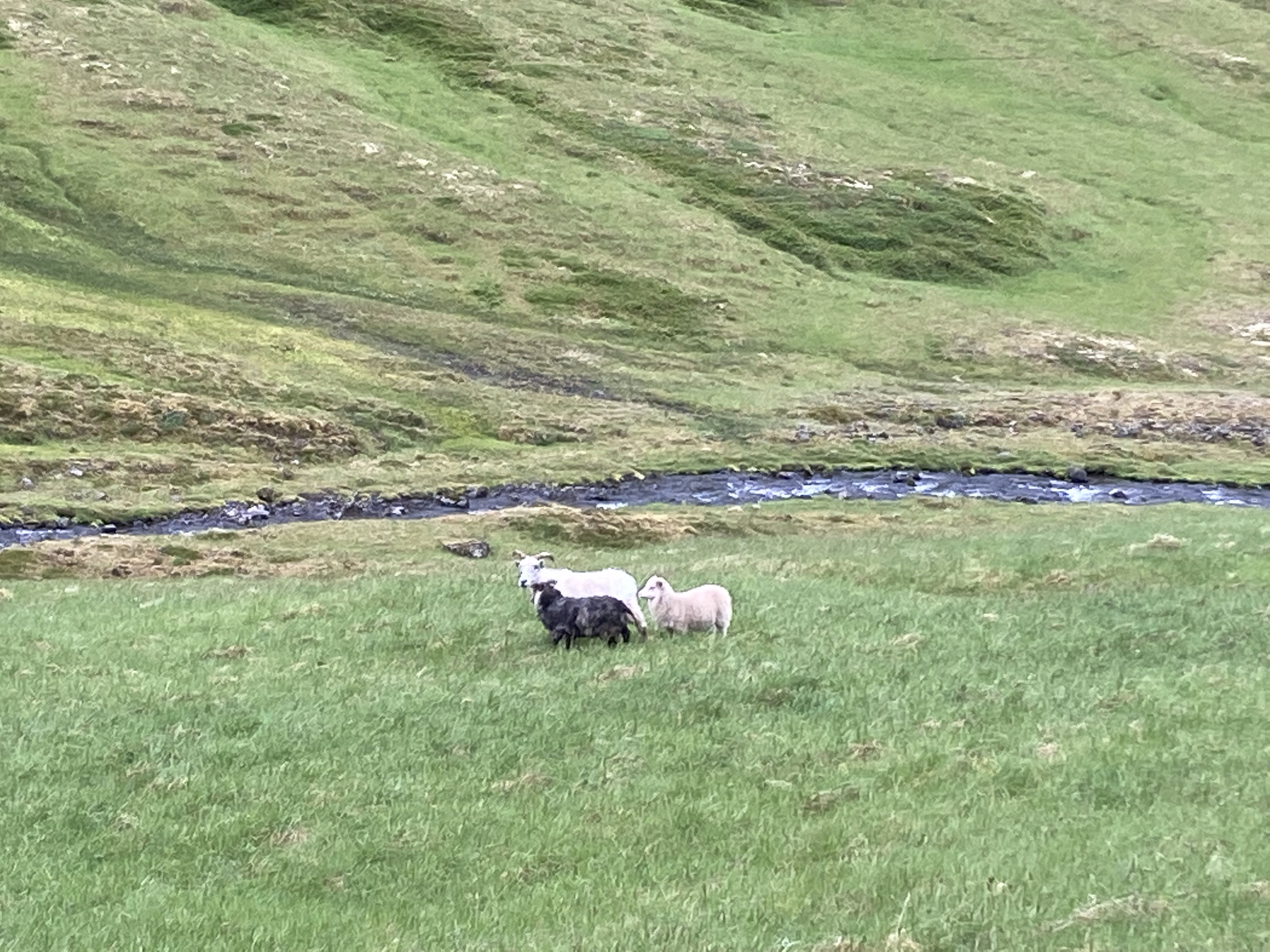
We found a likely spot to descend and it really wasn‘t bad at all! The sheep had found best way, which probably doesn‘t surprise anyone!
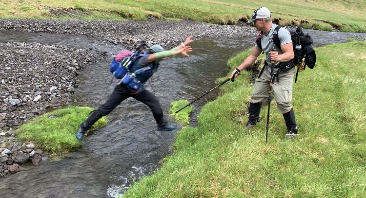
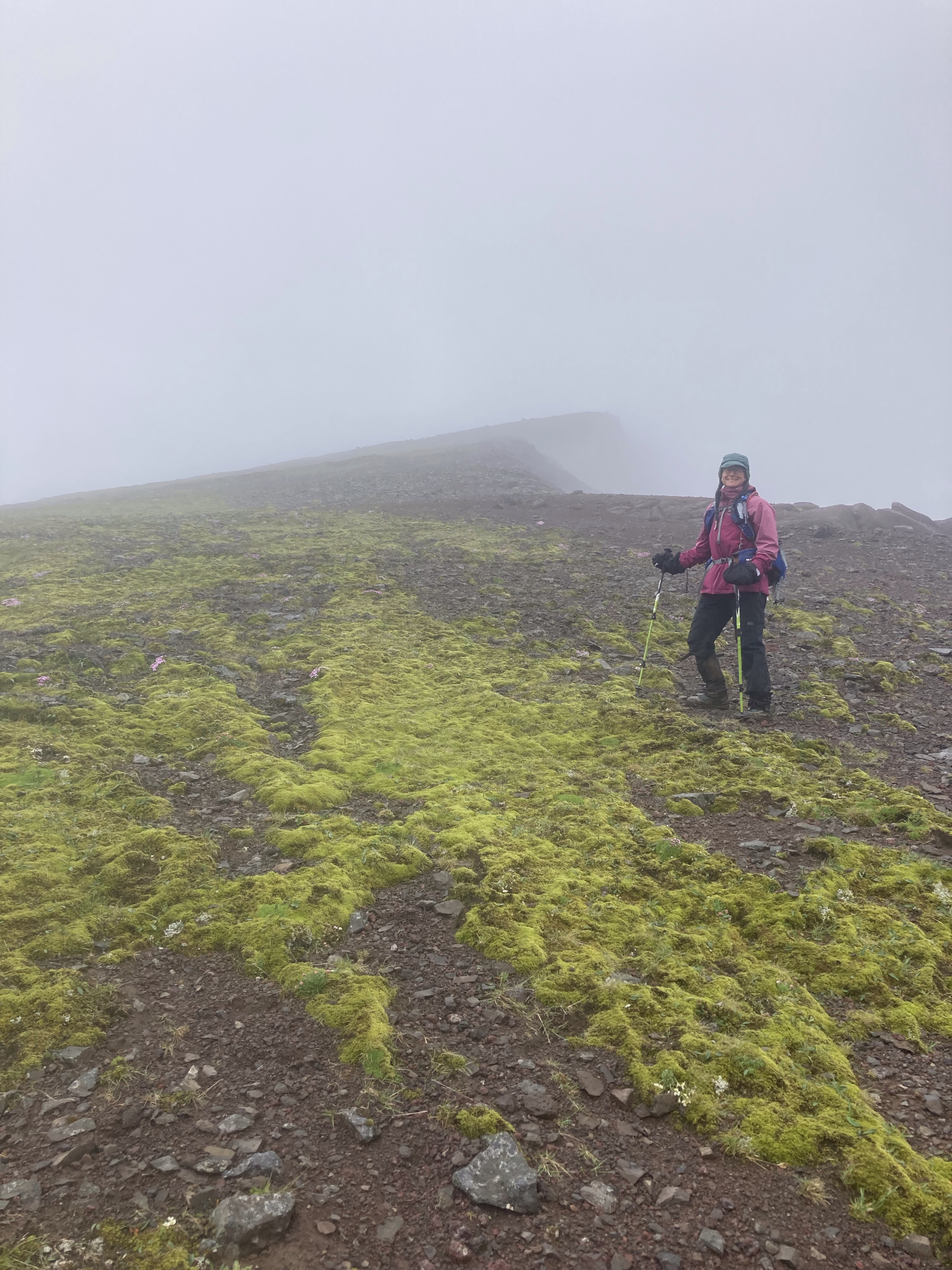
Showing my amazing jumping skills…
All told, it was about 11.5 miles of hiking , done in about 9 hrs. The pace was never too crazy and we stopped to take lots of pictures. There is a much easier way up to the main trail, from the other side of the saddle, should we come back a 3rd time, we‘ll try that one! Oh, and next time we‘ll pack more food and I‘ll double check the start location before we head out!
For the next 6 days we‘ll be totally offline as we head to the remote Hornstrandir peninsula for 5 nights of backpacking and camping. We’ll travel about 50 miles overland from where the ferry drops us off to another area to get picked up! See you soon!
